
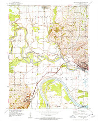
1951 Map of Brunswick West
USGS Topo · Published 1952About this map
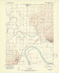
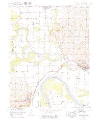
The Missouri River and its confluence with the Grand River dominate this early 1950s survey of the Missouri River Basin. The landscape is defined by the high-stakes engineering of flood control, visible through an extensive network of levees and a specific Flood Gate protecting the low-lying agricultural bottomlands. Along the northern and western margins, the settlements of Triplett and De Witt serve as local hubs, while Brunswick sits near the river junction, bisected by the Wabash railroad line. Local history is deeply etched into the hillsides through family-named landmarks like Allega Sch and several burial grounds, including Evergreen Cem and McCullough Cem. Further east, the terrain shifts toward industrial use with the presence of Strip Mines, showing the intersection of the region's river-driven economy and its mineral resources.
Find a feature on this map
31 named features on this map. Tap any name to fly to it.
Don’t see what you’re looking for? This feature index may not catch every label — zoom into the map to look around manually.
Map Details
Editions of this 1951 Brunswick West Map
4 editions found
Other maps of this area

1890 · Marshall
USGS Topo · 1:125,000

1892 · Marshall
USGS Topo · 1:125,000

1901 · Marshall
USGS Topo · 1:125,000

1924 · Hale
USGS Topo · 1:62,500

1949 · Mendon
USGS Topo · 1:24,000

1949 · Indian Grove
USGS Topo · 1:24,000

1950 · Hale
USGS Topo · 1:24,000

1951 · Hale
USGS Topo · 1:24,000

1951 · Bosworth
USGS Topo · 1:24,000

1951 · Miami
USGS Topo · 1:24,000