2000s (21st Century) Maps of Shady Grove, Missouri
Explore 5 historic maps of Shady Grove from the 2000s (21st Century). These maps offer a rare glimpse into what life looked like during the 2000s — showing old roads, neighborhoods, homes, and landmarks that have changed or disappeared over time.
Whether you're researching your family's past, planning a metal detecting trip, or studying how Shady Grove's landscape evolved across the 2000s, these high-resolution maps are a powerful tool for exploring the history of this region.
- Focus on a specific era: All maps on this page are from the 2000s, giving you a focused view of this time period.
- See what’s changed: Compare century-old streets, trails, and buildings to today's modern landscape using overlays and satellite layers.
- Research with precision: Use these maps for genealogy, historical research, land use analysis, or educational projects.
- View, download, or print: Maps are fully viewable online in high resolution, and can be downloaded or printed for your own records.
Start exploring Shady Grove's history through authentic maps from the 2000s. This is your window into the past.
Shady Grove, MO maps
(5)- 2004 Map of Selmore, 2006 Print
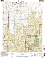 2004 Selmore2006 Print · USGSChristian County at the dawn of the millennium shows a landscape transitioning from rural farmsteads to managed forest land. Genealogists can trace family landmarks like King Cem and Mapes Cem, or locate the historic Alma Mine and Christian Center settlement.
 - 2012 Map of Selmore, 2012 Print
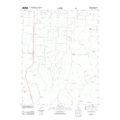 2012 Selmore2012 Print · USGSCovers Shady Grove, including Ozark, Christian Center, and other nearby areas
 - 2015 Map of Selmore, 2015 Print
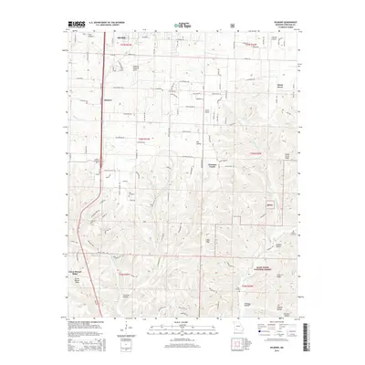 2015 Selmore2015 Print · USGSCovers Shady Grove, including Ozark, Christian Center, and other nearby areas
 - 2017 Map of Selmore, 2017 Print
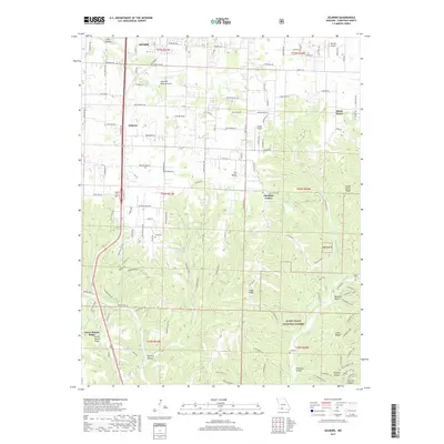 2017 Selmore2017 Print · USGSCovers Shady Grove, including Ozark, Christian Center, and other nearby areas
 - 2021 Map of Selmore, 2021 Print
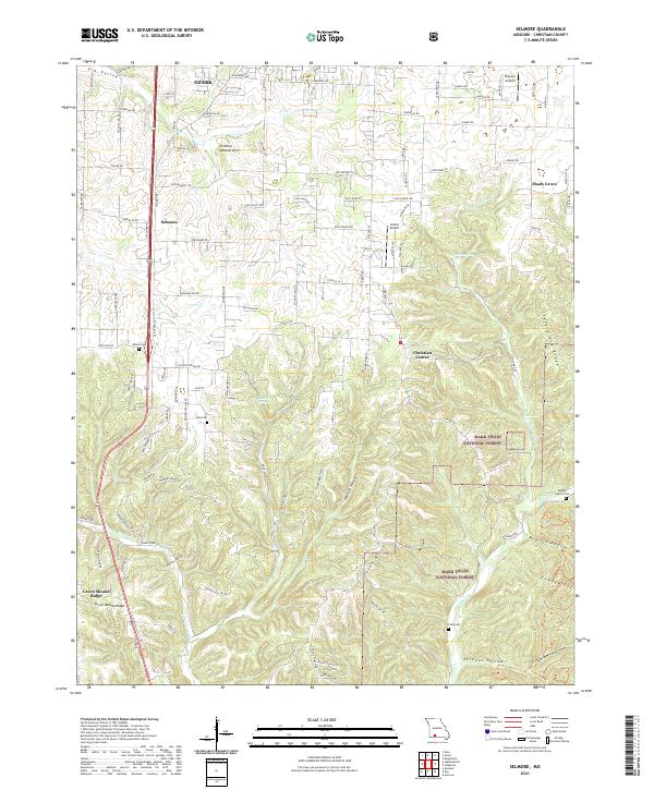 2021 Selmore2021 Print · USGSChristian County near the turn of the 2020s shows a landscape where the expansion of OZARK meets the deep hollows of the Mark Twain National Forest. Researchers can trace local lineage at the Adams Cemetery or King Cemetery and locate geological features like the Selmore Natural Arch.
End of results
Showing maps 1-5 of 5
Top cities near Shady Grove
- Springfield historical maps
- Nixa historical maps
- Ozark historical maps
- Battlefield historical maps
- Sparta historical maps
- Highlandville historical maps
See more
Frequently asked questions
- What are the different types of historical maps available for Shady Grove?
- What is the oldest map of Shady Grove?
- Where can I purchase historical maps of Shady Grove for my home or office?
- Where can I download high-res historical maps of Shady Grove?
- Are there historical topographic maps available for Shady Grove?
- Is there historical aerial imagery available for Shady Grove?
- Where are historical maps of Shady Grove sourced from?