Old Maps of Scearces, Missouri
Explore 13 old maps of Scearces, spanning from 1925 to today. These high-resolution historic maps reveal how streets, neighborhoods, landmarks, and natural features evolved over time — perfect for genealogy, metal detecting, research, and local history exploration.
What you can do with these maps:
- See how Scearces changed over time: Compare historical maps to modern-day views to trace roads, homesites, rail lines & more.
- View detailed metadata: Each map includes creators, publishers, year, scale, and archive source.
- Overlay maps with satellite & LiDAR: Visualize the past alongside modern tools to explore terrain & human change.
- Trusted historical sources: Maps sourced from the USGS, Library of Congress, and other archives.
- Access maps your way: View online, download high-res files, or order prints for personal or research use.
Start exploring old maps of Scearces to uncover forgotten places, hidden landmarks, and the deep history beneath your feet.
Scearces, MO maps
(13)- 1925 Map of Gower
 1925 Gower1925 Print · USGSClinton and Buchanan Counties at the mid-twenties are mapped here as a network of rail-side towns and small farm districts. Genealogists can locate dozens of rural landmarks like Matheys Mill, Blinkley Cem, and the many namesake schoolhouses such as Mc Gruhey School.3 unique versions available
 - 1950 Map of Kansas City
 1950 Kansas City1950 Print · USGSMid-century Kansas and Missouri are captured here during a period of industrial growth and shifting transportation. Genealogists and historians can trace rail lines like the Wabash RR or locate ancestral homes near the Potawatomi Indian Reservation and Horton.
 - 1951 Map of Gower
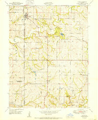 1951 Gower1951 Print · USGSGower and the surrounding Missouri townships appear here in the early fifties, showing a rural landscape organized by rail and stream. Genealogists can trace family names through landmarks like Allen Cem, Mt Carmel School, and Grayson.2 unique versions available
 - 1954 Map of Kansas City
 1954 Kansas City1954 Print · USGSThe Missouri-Kansas borderlands flourished in the post-war era as river commerce and rail networks converged at the Missouri River. Genealogists and historians can trace the foundations of Kansas City and smaller rural hubs like Hiawatha or Sabetha.
 - 1956 Map of Kansas City, 1967 Print
 1956 Kansas City1967 Print · USGSThe Kansas-Missouri border region thrived during the mid-fifties, centered on the growing metropolitan cores and the busy river valleys. Researchers can trace the layout of significant government sites like Fort Leavenworth and the Lake City Army Ammunition Plant.4 unique versions available
 - 1960 Map of Kansas City
 1960 Kansas City1960 Print · USGSMid-century Kansas and Missouri meet at the river forks, showing a sprawling rail-and-river economy during the 1950s growth era. Genealogists and researchers can trace tribal lands like the Kickapoo Indian Reservation or follow the early interstate corridors through Saint Joseph and Independence.3 unique versions available
 - 1961 Map of Gower, 1962 Print
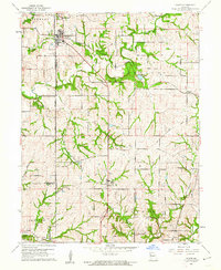 1961 Gower1962 Print · USGSClinton and Buchanan Counties come alive in the early sixties as rural crossroads and family homesteads define the landscape. Trace ancestral roots at Antioch Cem or follow the path of commerce along the Old Railroad Grade and Castile Creek.2 unique versions available
 - 1978 Map of Gower
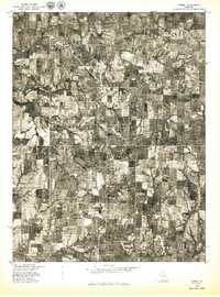 1978 Gower1978 Print · USGSGower and the surrounding Missouri farmlands are captured in the late seventies, showing the region's agricultural layout and rural road network. Researchers can trace land boundaries near Grayson or follow the meandering course of Castile Creek and the Little Platte.
 - 1986 Map of Saint Joseph
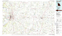 1986 Saint Joseph1986 Print · USGSNorthwest Missouri thrived as a regional transportation and educational hub during the mid-eighties, centered on the historic river city of Saint Joseph. Researchers can locate specific local landmarks like Burlington Cemetery, Pigeon Hill Church, and the winding Pony Express Trail.2 unique versions available
 - 2012 Map of Gower, 2012 Print
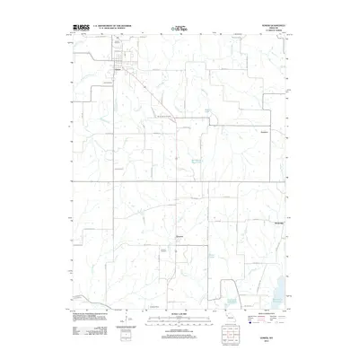 2012 Gower2012 Print · USGSGower and the surrounding Missouri countryside are captured here in the early twenty-first century, showing a landscape of small settlements and prairie creeks. Genealogists can locate several historic burial grounds including Antioch Cemetery and Mount Carmel Cemetery, alongside landmarks like Grayson and the Smithville Reservoir.
 - 2015 Map of Gower, 2015 Print
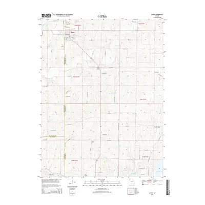 2015 Gower2015 Print · USGSClinton and Buchanan Counties maintain their rural character in this 2010s study of the rolling Missouri countryside. Genealogists can trace family footprints through community sites like Antioch Cemetery, Mount Carmel Cemetery, and the quiet settlements of Gower and Grayson.
 - 2017 Map of Gower, 2017 Print
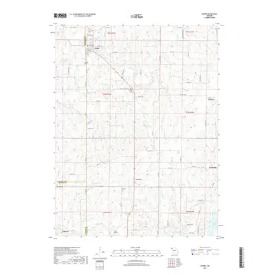 2017 Gower2017 Print · USGSClinton and Buchanan counties meet at the town of Gower in this modern survey of northwest Missouri. Family historians can locate several rural burial grounds such as Antioch Cem and Mount Carmel Cem alongside the waters of Castile Cr.
 - 2021 Map of Gower, 2021 Print
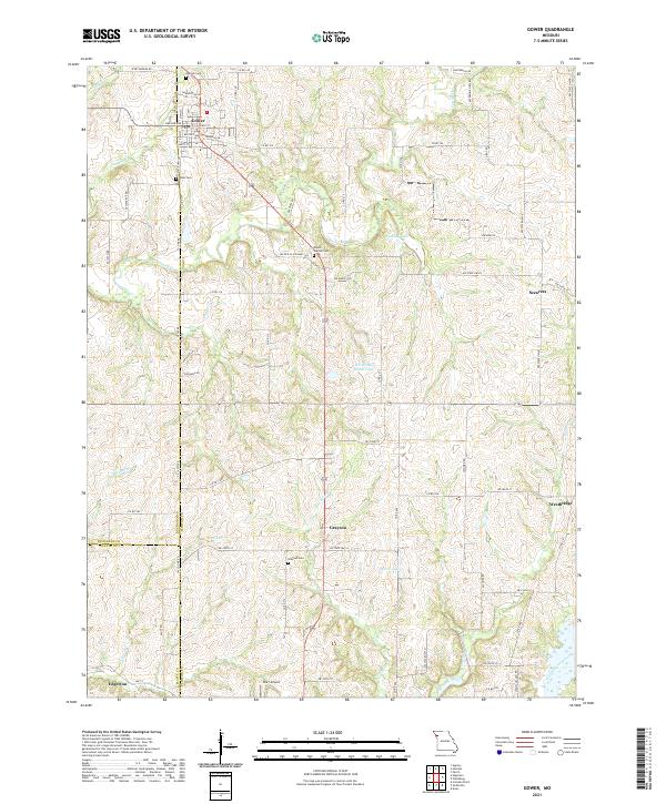 2021 Gower2021 Print · USGSThe rural landscapes of Clinton and Buchanan counties are captured here in the early twenty-first century. Genealogists and local researchers can trace family landmarks and burial grounds such as Grayson Cem, Antioch Cem, and the small settlement of Scearces.
End of results
Showing maps 1-13 of 13
Top cities near Scearces
- Kansas City historical maps
- Excelsior Springs historical maps
- Kearney historical maps
- Smithville historical maps
- Platte City historical maps
- Lathrop historical maps
See more
Frequently asked questions
- What are the different types of historical maps available for Scearces?
- What is the oldest map of Scearces?
- Where can I purchase historical maps of Scearces for my home or office?
- Where can I download high-res historical maps of Scearces?
- Are there historical topographic maps available for Scearces?
- Is there historical aerial imagery available for Scearces?
- Where are historical maps of Scearces sourced from?