Old Maps of Stewartsville, Washington Township for Metal Detecting
Plan your next treasure hunt with 31 historic maps of Stewartsville. Find old homesites, ghost towns, trails, and gathering spots that may be lost to time — perfect for identifying promising metal detecting locations.
- Locate forgotten sites: Uncover places like long-lost settlements, abandoned rail lines, or gathering spots.
- Plan better hunts: Use map overlays combined with LiDAR or satellite views to narrow in on historically rich areas.
- Made for detectorists: Thousands of hobbyists use these maps to discover relics, coins, and hidden history.
Use these historic maps to boost your research and find new opportunities beneath the surface of Stewartsville.
Stewartsville, Washington Township maps
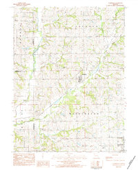
(31)- 1923 Map of Clarksdale, 1963 Print
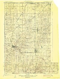
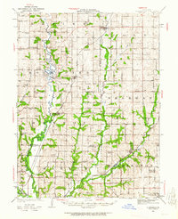 1923 Clarksdale1963 Print · USGSNorthwest Missouri's agricultural heartland is captured here in the 1920s, when small rail towns and country schools defined the rural landscape. Trace the old rail lines of the CHICAGO ROCK ISLAND AND PACIFIC RR or locate family landmarks like Bedford Chapel and Frogge School.3 unique versions available
 - 1923 Map of Maysville, 1966 Print
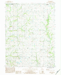
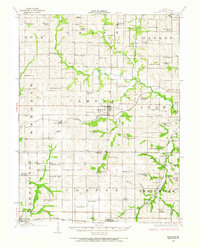 1923 Maysville1966 Print · USGSDeKalb County at the start of the twenties was a landscape of thriving rural school districts and bustling rail towns. Genealogists can locate family landmarks like Butler Cemetery or trace community life at Marvin Chapel and Fairmount School.
 - 1925 Map of Gower
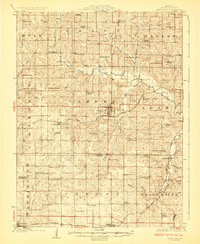
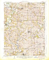 1925 Gower1925 Print · USGSClinton and Buchanan Counties at the mid-twenties are mapped here as a network of rail-side towns and small farm districts. Genealogists can locate dozens of rural landmarks like Matheys Mill, Blinkley Cem, and the many namesake schoolhouses such as Mc Gruhey School.3 unique versions available
 - 1925 Map of Clarksdale
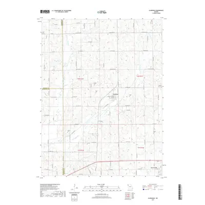
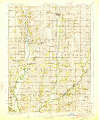 1925 Clarksdale1925 Print · USGSNorthwest Missouri's river valleys and rail lines are captured here in the mid-1920s at the height of its rural schoolhouse era. Genealogists and historians can trace dozens of family-named landmarks like Bowen Cemetery, Fountain Blue School, and the unique Wire Bridge.2 unique versions available
 - 1925 Map of Plattsburg
 1925 Plattsburg1925 Print · USGSMid-1920s Clinton County is captured here at a peak of rural development, dominated by family farms and an extensive railroad network. Genealogists and historians can trace numerous country schools and churches like Log Church School and Smith Fork Church alongside the rail hubs of Plattsburg and Lathrop.4 unique versions available
 - 1925 Map of Maysville
 1925 Maysville1925 Print · USGSDeKalb County is shown in the mid-1920s as a thriving patchwork of rural school districts and rail-connected towns. Genealogists and local historians can trace family roots through dozens of named landmarks like Hedge School, Marvin Chapel, and Amity Cemetery.2 unique versions available
 - 1950 Map of Kansas City
 1950 Kansas City1950 Print · USGSMid-century Kansas and Missouri are captured here during a period of industrial growth and shifting transportation. Genealogists and historians can trace rail lines like the Wabash RR or locate ancestral homes near the Potawatomi Indian Reservation and Horton.
 - 1954 Map of Kansas City
 1954 Kansas City1954 Print · USGSThe Missouri-Kansas borderlands flourished in the post-war era as river commerce and rail networks converged at the Missouri River. Genealogists and historians can trace the foundations of Kansas City and smaller rural hubs like Hiawatha or Sabetha.
 - 1956 Map of Kansas City, 1967 Print
 1956 Kansas City1967 Print · USGSThe Kansas-Missouri border region thrived during the mid-fifties, centered on the growing metropolitan cores and the busy river valleys. Researchers can trace the layout of significant government sites like Fort Leavenworth and the Lake City Army Ammunition Plant.4 unique versions available
 - 1960 Map of Kansas City
 1960 Kansas City1960 Print · USGSMid-century Kansas and Missouri meet at the river forks, showing a sprawling rail-and-river economy during the 1950s growth era. Genealogists and researchers can trace tribal lands like the Kickapoo Indian Reservation or follow the early interstate corridors through Saint Joseph and Independence.3 unique versions available
 - 1971 Map of Hemple, 1973 Print
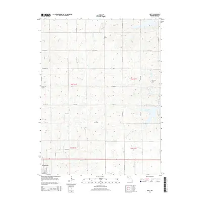
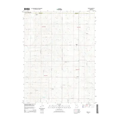
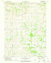 1971 Hemple1973 Print · USGSClinton and Buchanan counties are captured here in the early 1970s, showcasing a landscape of established farmsteads and rural townships. Researchers can trace family roots at Mt Zion Ch, Keller Cem, and along the Burlington Northern line.
 - 1983 Map of Amity, 1984 Print
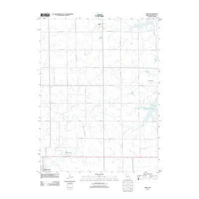
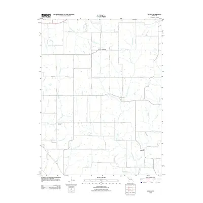
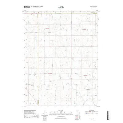
 1983 Amity1984 Print · USGSDeKalb County comes into focus in the early 1980s, showcasing a rural landscape where active rail lines and abandoned grades meet. Researchers can trace the Burlington Northern corridor, locate local burials at Amity Cem, and explore the shoreline of Pony Express Lake.
 - 1983 Map of Clarksdale, 1984 Print
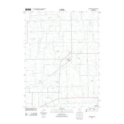
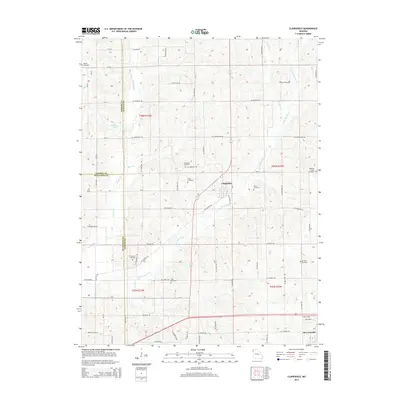
 1983 Clarksdale1984 Print · USGSThe rural borders of DeKalb, Buchanan, and Andrew Counties come into focus during the early 1980s. Local historians can trace the Old Railroad Grade and locate numerous family-named burial sites like Todd Cem and DeKalb Cem.
 - 1984 Map of Perrin
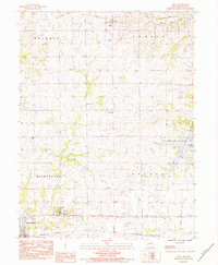
 1984 Perrin1984 Print · USGSClinton and De Kalb counties in the mid-1980s reveal a landscape shaped by shifting transportation and quiet rural life. Genealogists and historians can trace defunct routes along the Old Railroad Grade and locate family sites near Old Presbyterian Cem and Perrin.
 - 1986 Map of Saint Joseph
 1986 Saint Joseph1986 Print · USGSNorthwest Missouri thrived as a regional transportation and educational hub during the mid-eighties, centered on the historic river city of Saint Joseph. Researchers can locate specific local landmarks like Burlington Cemetery, Pigeon Hill Church, and the winding Pony Express Trail.2 unique versions available
 - 2012 Map of Amity, 2012 Print
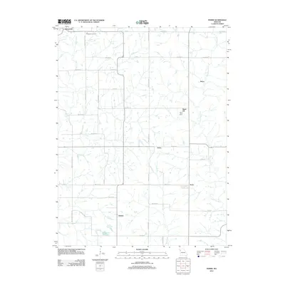
 2012 Amity2012 Print · USGSCovers Stewartsville, including Amity, Sherman Township, and other nearby areas
 - 2012 Map of Clarksdale, 2012 Print
 2012 Clarksdale2012 Print · USGSCovers Stewartsville, including Clarksdale, Sherman Township, and other nearby areas
 - 2012 Map of Hemple, 2012 Print
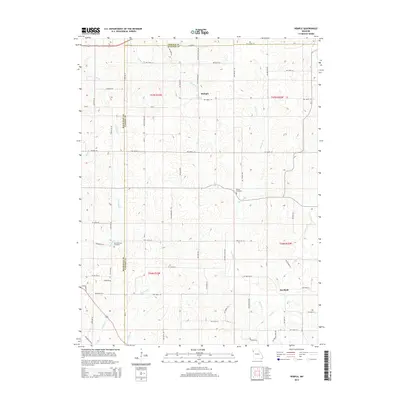
 2012 Hemple2012 Print · USGSCovers Stewartsville, including Hemple, Starfield, and other nearby areas
 - 2012 Map of Perrin, 2012 Print
 2012 Perrin2012 Print · USGSCovers Stewartsville, including Maple Hill, Perrin, and other nearby areas
 - 2014 Map of Hemple, 2014 Print
 2014 Hemple2014 Print · USGSCovers Stewartsville, including Hemple, Starfield, and other nearby areas
 - 2014 Map of Amity, 2014 Print
 2014 Amity2014 Print · USGSCovers Stewartsville, including Amity, Sherman Township, and other nearby areas
 - 2014 Map of Clarksdale, 2014 Print
 2014 Clarksdale2014 Print · USGSCovers Stewartsville, including Clarksdale, Sherman Township, and other nearby areas
 - 2015 Map of Perrin, 2015 Print
 2015 Perrin2015 Print · USGSCovers Stewartsville, including Maple Hill, Perrin, and other nearby areas
 - 2017 Map of Hemple, 2017 Print
 2017 Hemple2017 Print · USGSCovers Stewartsville, including Hemple, Starfield, and other nearby areas
 - 2017 Map of Clarksdale, 2017 Print
 2017 Clarksdale2017 Print · USGSCovers Stewartsville, including Clarksdale, Sherman Township, and other nearby areas
Showing maps 1-25 of 31
Top cities near Stewartsville
- Lathrop historical maps
- Plattsburg historical maps
- Gower historical maps
- Maysville historical maps
- Osborn historical maps
- Union Star historical maps
See more
Frequently asked questions
- What are the different types of historical maps available for Stewartsville?
- What is the oldest map of Stewartsville?
- Where can I purchase historical maps of Stewartsville for my home or office?
- Where can I download high-res historical maps of Stewartsville?
- Are there historical topographic maps available for Stewartsville?
- Is there historical aerial imagery available for Stewartsville?
- Where are historical maps of Stewartsville sourced from?