Old Maps of Austin, Missouri for Hiking & Exploration
Hike through history with 12 historic maps of Austin. Explore old trails, ghost towns, and forgotten backroads — perfect for outdoor adventurers and local explorers.
- Rediscover forgotten places: Map out old mining camps, roads, and footpaths that no longer exist on modern maps.
- Layer with modern tools: Combine with LiDAR or satellite views to plan hikes through historical terrain.
- Made for exploration: Popular among hikers, overlanders, and local history lovers.
Use these maps to find adventure and explore the hidden past of Austin.
Austin, MO maps
(12)- 1934 Map of Kennett
 1934 Kennett1934 Print · USGSDunklin County and the Arkansas borderlands are captured here during a period of intensive drainage and reclamation. Researchers can trace early infrastructure and family landmarks like Johnson Mill, American Legion Airport, and Bark Camp Sch.
 - 1940 Map of Kennett, 1943 Print
 1940 Kennett1943 Print · USGSDunklin County and the Missouri-Arkansas border are mapped here during the early 1940s, showing a landscape defined by drainage ditches and rail lines. You can trace the St Louis Southwestern RR through Senath and Arbyrd, or locate family sites like Lula Ch & Cem and Johnson Mill.
 - 1956 Map of Kennett
 1956 Kennett1956 Print · USGSThe Missouri Bootheel's agricultural and drainage transformation is on full display in the mid-fifties. Genealogists can trace family roots through numerous rural sites like Silverdale Ch & Cem, Harkeys Chapel, and the Oak Ridge Cem near Kennett.2 unique versions available
 - 1957 Map of Poplar Bluff, 1968 Print
 1957 Poplar Bluff1968 Print · USGSThe Missouri-Arkansas border region is captured here as the timber and rail industries shaped the Ozark foothills. Genealogists and historians can trace the Missouri Pacific Railroad through river towns like Pocahontas, Greenville, and Van Buren.3 unique versions available
 - 1959 Map of Poplar Bluff
 1959 Poplar Bluff1959 Print · USGSThe Missouri Ozarks and Arkansas borderlands meet in this late 1950s study of the region's diverse terrain and rail-fed towns. Researchers can trace the path of the Missouri Pacific Railroad through Poplar Bluff or locate smaller settlements like Birch Tree and Myrtle.
 - 1960 Map of Poplar Bluff
 1960 Poplar Bluff1960 Print · USGSSoutheast Missouri and Northeast Arkansas are captured here during the post-war era, showing the transition from the Ozark highlands to the Delta. Genealogists and historians can trace rail corridors like the St. Louis Southwestern RR and remote settlements such as Birch Tree and Warm Springs.
 - 1983 Map of Senath, 1984 Print
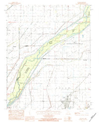 1983 Senath1984 Print · USGSDunklin County and the Arkansas borderlands come alive in this early 1980s survey of the river-braided lowlands. Researchers can trace rural livelihoods through landmarks like Mitchell Mill, the Burlington Northern rail line, and the wetlands of the Ben Cash Memorial State Wildlife Area.
 - 1984 Map of Paragould
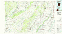 1984 Paragould1984 Print · USGSNortheast Arkansas and the Missouri Bootheel appear here in the mid-1980s as a landscape of ridge-top towns and engineered delta drainage. Genealogists and historians can locate rural landmarks like Oak Grove Church, trace the St Louis San Francisco RR, or explore the limits of Crowleys Ridge State Park.2 unique versions available
 - 2011 Map of Senath, 2011 Print
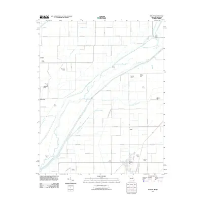 2011 Senath2011 Print · USGSDunklin County and the Arkansas borderlands appear in the early 2000s as a managed landscape of drainage canals and small settlements. Genealogists and local historians can locate Leonard Cemetery, Mitchell Mill, and the small community of White Oak.2 unique versions available
 - 2015 Map of Senath, 2015 Print
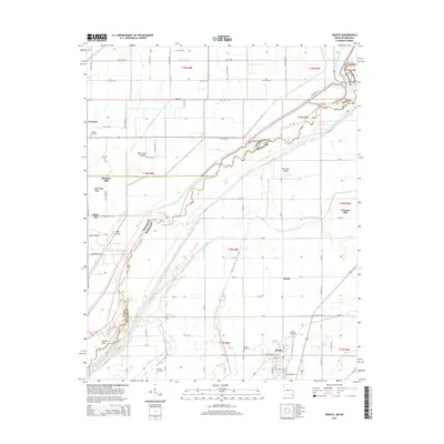 2015 Senath2015 Print · USGSDunklin County and the Arkansas border are captured here during the mid-2010s, showing a landscape defined by its complex river drainage history. Researchers can locate family sites at Senath Cemetery or trace the geography of Blue Cane Island and Mitchell Mill.
 - 2017 Map of Senath, 2017 Print
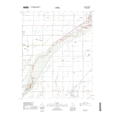 2017 Senath2017 Print · USGSDunklin County and the Arkansas border are captured here during a time of extensive agricultural drainage and river management. Researchers can trace the heritage of Senath and Austin, or locate rural landmarks like Mitchell Mill and McGrew Cem.
 - 2021 Map of Senath, 2021 Print
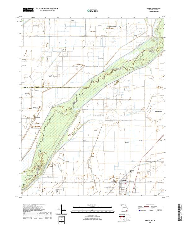 2021 Senath2021 Print · USGSThe Missouri Bootheel borderlands come into focus in this recent survey of the Dunklin County landscape and its intricate river systems. Researchers can trace family roots through Senath Cem and McGrew Cem or locate the historic sites of Mitchell Mill and Johnson Mill.
End of results
Showing maps 1-12 of 12
Top cities near Austin
- Blytheville historical maps
- Kennett historical maps
- Piggott historical maps
- Gosnell historical maps
- Leachville historical maps
- Rector historical maps
See more
Frequently asked questions
- What are the different types of historical maps available for Austin?
- What is the oldest map of Austin?
- Where can I purchase historical maps of Austin for my home or office?
- Where can I download high-res historical maps of Austin?
- Are there historical topographic maps available for Austin?
- Is there historical aerial imagery available for Austin?
- Where are historical maps of Austin sourced from?