Old Maps of Glaser Ford, Missouri
Explore 12 old maps of Glaser Ford, spanning from 1934 to today. These high-resolution historic maps reveal how streets, neighborhoods, landmarks, and natural features evolved over time — perfect for genealogy, metal detecting, research, and local history exploration.
What you can do with these maps:
- See how Glaser Ford changed over time: Compare historical maps to modern-day views to trace roads, homesites, rail lines & more.
- View detailed metadata: Each map includes creators, publishers, year, scale, and archive source.
- Overlay maps with satellite & LiDAR: Visualize the past alongside modern tools to explore terrain & human change.
- Trusted historical sources: Maps sourced from the USGS, Library of Congress, and other archives.
- Access maps your way: View online, download high-res files, or order prints for personal or research use.
Start exploring old maps of Glaser Ford to uncover forgotten places, hidden landmarks, and the deep history beneath your feet.
Glaser Ford, MO maps
(12)- 1934 Map of Redbird, 1962 Print
 1934 Redbird1962 Print · USGSThe rural landscapes of Phelps, Maries, and Gasconade Counties are captured here in the 1930s, before modern highway expansion altered the backroads. Genealogists can trace family landmarks like Rock Spring Cem, Stockton Mine, and the Soldiers Home.
 - 1938 Map of Redbird
 1938 Redbird1938 Print · USGSThe Missouri Ozarks during the late 1930s reveal a landscape of river-carved ridges and small agricultural hubs like St James and Highgate. Genealogists and historians can locate dozens of country landmarks, from Stockton Mines to rural schools like Lanes Prairie and the Southard Cem.3 unique versions available
 - 1949 Map of Saint Louis
 1949 Saint Louis1949 Print · USGSGreater St. Louis and its surrounding river valleys are captured here just after the war, showing the metropolitan core and the rural Ozark fringe. Researchers can trace the sprawling rail network of the Wabash RR or locate landmarks like Meramec Caverns Airport and Scott Air Force Base.2 unique versions available
 - 1962 Map of St. Louis
 1962 St. Louis1962 Print · USGSThe mid-century gateway to the west shows the metropolitan expansion of St Louis alongside its critical river confluences. Genealogists and historians can trace the rail corridors of the Missouri Pacific RR and settlements from Fulton to De Soto.
 - 1962 Map of Redbird, 1964 Print
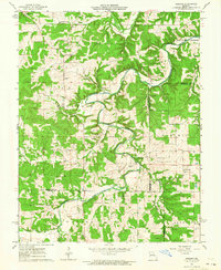 1962 Redbird1964 Print · USGSGasconade County and the surrounding tri-county border area are captured here in the early sixties, centered on the winding Bourbeuse River. Genealogists can trace family names through numerous burial sites and rural meeting houses, such as Smith Cem, Jackson Cem, and Blue Spring Ch.2 unique versions available
 - 1963 Map of St. Louis, 1970 Print
 1963 St. Louis1970 Print · USGSSt. Louis and its surrounding river valleys are captured here during the peak of mid-century suburban expansion and industrial activity. Trace the historic rail routes of the Norfolk and Western Ry or locate the St Louis Ordnance Plant and early stretches of US Highway 66.4 unique versions available
 - 1966 Map of St. Louis
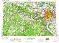 1966 St. Louis1966 Print · USGSThe St. Louis metropolitan area and its surrounding river valleys are captured here during the mid-sixties era of suburban growth and industrial strength. Genealogists and historians can trace the foundations of local communities through sites like Old Pioneer Cem, Parks College, and the Jefferson Barracks Military Reservation.
 - 1985 Map of Sullivan
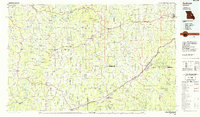 1985 Sullivan1985 Print · USGSMid-1980s Missouri comes into focus here as the Ozark landscape balances industrial mining with river recreation. Genealogists and historians can trace the St Louis-San Francisco RR through Sullivan and locate landmarks like Pea Ridge Mine or St Cloud Church.3 unique versions available
 - 2012 Map of Redbird, 2012 Print
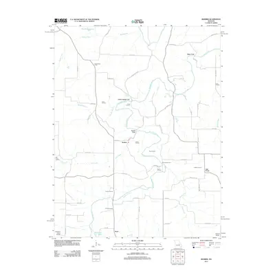 2012 Redbird2012 Print · USGSThe Bourbeuse River valley in the early 2000s remains defined by its historic river crossings and scattered rural settlements. Family historians can locate numerous small burial sites like Scantlin Cemetery and Collier Cemetery or trace old river fords including Glaser Ford.
 - 2015 Map of Redbird, 2015 Print
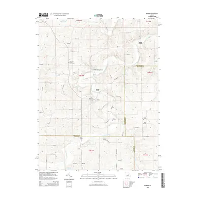 2015 Redbird2015 Print · USGSThe rolling country of Gasconade and Crawford counties comes into focus in this recent survey, centered on the Bourbeuse River and its rural settlements. Genealogists and historians can trace numerous family landmarks, from Glaser Ford to the Licklider Cemetery and Redbird.
 - 2017 Map of Redbird, 2017 Print
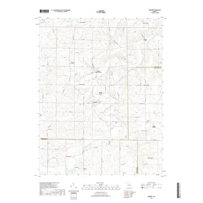 2017 Redbird2017 Print · USGSThe Bourbeuse River valley at the intersection of Gasconade and Crawford counties comes alive in this modern survey. Researchers can trace historic river crossings and family roots at Glaser Ford, Jake Prairie, and LeDuc United Methodist Church Cem.
 - 2021 Map of Redbird, 2021 Print
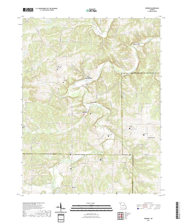 2021 Redbird2021 Print · USGSThe rural borderlands of Gasconade, Crawford, and Phelps counties are documented here as they appeared in the early 2020s. Researchers can locate numerous family burial sites and river crossings like Arthur Spring Ford, Jake Prairie, and the LeDuc United Methodist Church Cem.
End of results
Showing maps 1-12 of 12
Top cities near Glaser Ford
- St. James historical maps
- Cuba historical maps
- Owensville historical maps
- Gerald historical maps
- Rosebud historical maps
- Leasburg historical maps
Frequently asked questions
- What are the different types of historical maps available for Glaser Ford?
- What is the oldest map of Glaser Ford?
- Where can I purchase historical maps of Glaser Ford for my home or office?
- Where can I download high-res historical maps of Glaser Ford?
- Are there historical topographic maps available for Glaser Ford?
- Is there historical aerial imagery available for Glaser Ford?
- Where are historical maps of Glaser Ford sourced from?