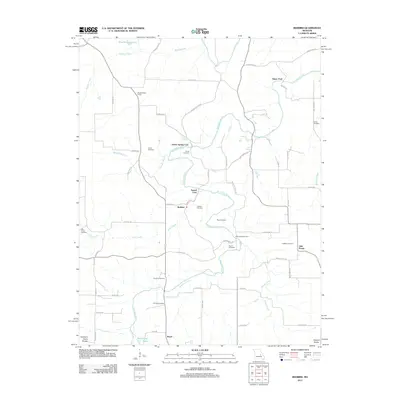
2012 Map of Redbird
USGS Topo · Published 2012About this map
The Bourbeuse River winds through the heart of this landscape along the Northern Ozark Border, creating a series of vital crossings and fords that historically anchored local transit. Distinctive river access points such as Glaser Ford, Arthur Spring Ford, and Sewell Ford define the serpentine path of the waterway, which is fed by numerous tributaries including Wallace Creek, Price Creek, and the Dry Fork. These natural landmarks provided the structural framework for the rural communities of Redbird and Royal.
Find a feature on this map
69 named features on this map. Tap any name to fly to it.
Don’t see what you’re looking for? This feature index may not catch every label — zoom into the map to look around manually.
Map Details
Editions of this 2012 Redbird Map
This is the sole edition of this map. No revisions or reprints were ever made.
Other maps of this area

1903 · Sullivan
USGS Topo · 1:125,000

1934 · Bland
USGS Topo · 1:62,500

1934 · Redbird
USGS Topo · 1:62,500

1935 · Gerald
USGS Topo · 1:48,000

1937 · Bland
USGS Topo · 1:62,500

1938 · Redbird
USGS Topo · 1:62,500

1941 · Gerald
USGS Topo · 1:62,500

1944 · Gerald
USGS Topo · 1:62,500

1948 · Cuba
USGS Topo · 1:24,000

1948 · Oak Hill
USGS Topo · 1:24,000