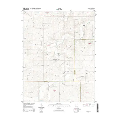
2015 Map of Redbird
USGS Topo · Published 2015About this map
The Bourbeuse River winds through this rural landscape at the meeting of Gasconade, Crawford, and Phelps counties. Small settlements and crossroads anchor the area, including Redbird, Jake Prairie, and Royal, which are connected by a network of winding roads like Elk Head Rd and Wild Cat Rd. The map is particularly rich in genealogical data, preserving the locations of numerous family-named burial grounds such as Smith Cemetery, Sorrell Cemetery, and Pope Cemetery.
Find a feature on this map
73 named features on this map. Tap any name to fly to it.
Don’t see what you’re looking for? This feature index may not catch every label — zoom into the map to look around manually.
Map Details
Editions of this 2015 Redbird Map
This is the sole edition of this map. No revisions or reprints were ever made.
Other maps of this area

1903 · Sullivan
USGS Topo · 1:125,000

1934 · Bland
USGS Topo · 1:62,500

1934 · Redbird
USGS Topo · 1:62,500

1935 · Gerald
USGS Topo · 1:48,000

1937 · Bland
USGS Topo · 1:62,500

1938 · Redbird
USGS Topo · 1:62,500

1941 · Gerald
USGS Topo · 1:62,500

1944 · Gerald
USGS Topo · 1:62,500

1948 · Cuba
USGS Topo · 1:24,000

1948 · Oak Hill
USGS Topo · 1:24,000