2000s (21st Century) Maps of Owensville, Missouri
Explore 12 historic maps of Owensville from the 2000s (21st Century). These maps offer a rare glimpse into what life looked like during the 2000s — showing old roads, neighborhoods, homes, and landmarks that have changed or disappeared over time.
Whether you're researching your family's past, planning a metal detecting trip, or studying how Owensville's landscape evolved across the 2000s, these high-resolution maps are a powerful tool for exploring the history of this region.
- Focus on a specific era: All maps on this page are from the 2000s, giving you a focused view of this time period.
- See what’s changed: Compare century-old streets, trails, and buildings to today's modern landscape using overlays and satellite layers.
- Research with precision: Use these maps for genealogy, historical research, land use analysis, or educational projects.
- View, download, or print: Maps are fully viewable online in high resolution, and can be downloaded or printed for your own records.
Start exploring Owensville's history through authentic maps from the 2000s. This is your window into the past.
Owensville, MO maps
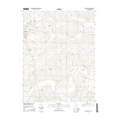
(12)- 2012 Map of Owensville West, 2012 Print
 2012 Owensville West2012 Print · USGSCovers Owensville, including Cleavesville, Old Bland, and other nearby areas
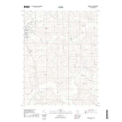
 - 2012 Map of Owensville East, 2012 Print
 2012 Owensville East2012 Print · USGSCovers Owensville, including Tea, Bem, and other nearby areas
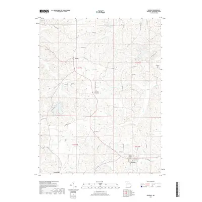
 - 2012 Map of Rosebud, 2012 Print
 2012 Rosebud2012 Print · USGSCovers Owensville, including Rosebud, Wittenberg, and other nearby areas
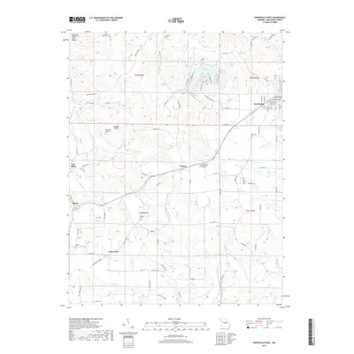
 - 2015 Map of Owensville West, 2015 Print
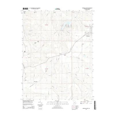 2015 Owensville West2015 Print · USGSCovers Owensville, including Cleavesville, Old Bland, and other nearby areas
 - 2015 Map of Owensville East, 2015 Print
 2015 Owensville East2015 Print · USGSCovers Owensville, including Tea, Bem, and other nearby areas
 - 2015 Map of Rosebud, 2015 Print
 2015 Rosebud2015 Print · USGSCovers Owensville, including Rosebud, Wittenberg, and other nearby areas
 - 2017 Map of Owensville East, 2017 Print
 2017 Owensville East2017 Print · USGSCovers Owensville, including Tea, Bem, and other nearby areas
 - 2017 Map of Rosebud, 2017 Print
 2017 Rosebud2017 Print · USGSCovers Owensville, including Rosebud, Wittenberg, and other nearby areas
 - 2017 Map of Owensville West, 2017 Print
 2017 Owensville West2017 Print · USGSCovers Owensville, including Cleavesville, Old Bland, and other nearby areas
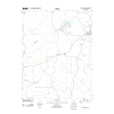
 - 2021 Map of Owensville East, 2021 Print
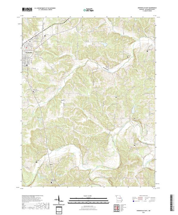 2021 Owensville East2021 Print · USGSGasconade County settlement patterns are preserved here in the early twenty-first century as agricultural lands surround the growth of Owensville. Genealogists can trace family names at the Bohemian Catholic Cem, Warren Cem, and the rural crossroads of Tea.
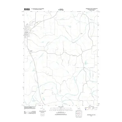
 - 2021 Map of Owensville West, 2021 Print
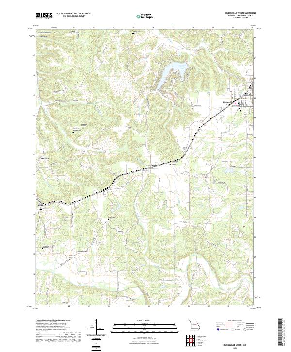 2021 Owensville West2021 Print · USGSGasconade County at the start of the 2020s shows a landscape of established townships and rural cemetery sites. Researchers can trace family roots at Saint Michael Cem or explore the transition from Old Bland to the newer town of Bland.
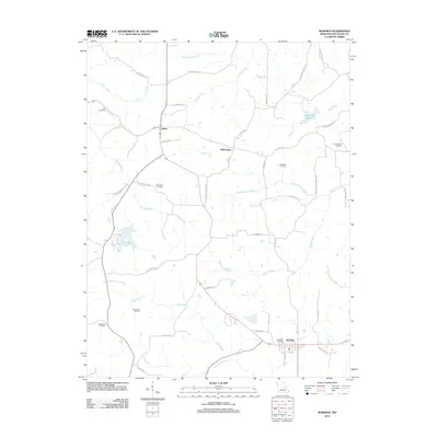
 - 2021 Map of Rosebud, 2021 Print
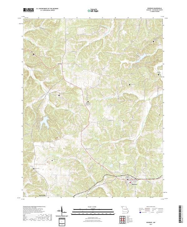 2021 Rosebud2021 Print · USGSGasconade County settlement patterns are on full display in this modern survey of the Missouri countryside. Researchers can trace local history through a high density of rural burial sites, including Zoar Cem, New Salem Cem, and the Georgetown Cem.
End of results
Showing maps 1-12 of 12
Top cities near Owensville
Frequently asked questions
- What are the different types of historical maps available for Owensville?
- What is the oldest map of Owensville?
- Where can I purchase historical maps of Owensville for my home or office?
- Where can I download high-res historical maps of Owensville?
- Are there historical topographic maps available for Owensville?
- Is there historical aerial imagery available for Owensville?
- Where are historical maps of Owensville sourced from?