Old Maps of Owensville, Missouri for Hiking & Exploration
Hike through history with 26 historic maps of Owensville. Explore old trails, ghost towns, and forgotten backroads — perfect for outdoor adventurers and local explorers.
- Rediscover forgotten places: Map out old mining camps, roads, and footpaths that no longer exist on modern maps.
- Layer with modern tools: Combine with LiDAR or satellite views to plan hikes through historical terrain.
- Made for exploration: Popular among hikers, overlanders, and local history lovers.
Use these maps to find adventure and explore the hidden past of Owensville.
Owensville, MO maps
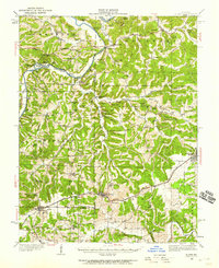
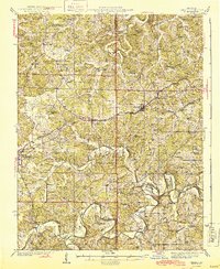
(26)- 1903 Map of Sullivan
 1903 Sullivan1903 Print · USGSFranklin and Gasconade counties are captured here at the close of the nineteenth century, as the St. Louis and San Francisco railroad spurred growth in timber and mining. Genealogists can trace early homesteads and river crossings like Hughes Ford, Spring Bluff, and Anthonies Mill.3 unique versions available
 - 1934 Map of Bland, 1959 Print
 1934 Bland1959 Print · USGSMid-Missouri's ridge-and-hollow country is captured in the 1930s as the rail line drove the development of the Gasconade and Osage county borders. Researchers can locate dozens of country schools and churches like Cleavesville Sch, New Bethel Ch, and College Hill Cem.2 unique versions available
 - 1935 Map of Gerald
 1935 Gerald1935 Print · USGSThe borderlands of Gasconade and Franklin counties are seen here in the mid-1930s as the Chicago Rock Island and Pacific railroad connects growing towns like Gerald and Rosebud. Local historians can trace dozens of rural school sites, including Buffalo Ridge School and Hinton Sch, alongside family-named landmarks and the meandering Bourbeuse River.
 - 1937 Map of Bland
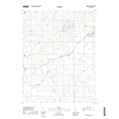
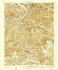 1937 Bland1937 Print · USGSMid-Missouri river bluffs and rail towns come to life in this mid-century survey of Gasconade and Maries counties. Local historians can trace the shift from river fords like Valentine Ford to the rail corridor connecting Belle, Bland, and Owensville.2 unique versions available
 - 1941 Map of Gerald, 1958 Print
 1941 Gerald1958 Print · USGSFranklin and Gasconade counties are documented here in the early 1940s, highlighting a landscape defined by small-town rail stops and rural school districts. Genealogists can locate family landmarks such as St Paul Cem, Japan Sch, and the settlement of Champion City.
 - 1944 Map of Gerald
 1944 Gerald1944 Print · USGSGerald and the surrounding Gasconade County hills are shown here just after the start of the 1940s as the rail-and-river economy shaped local life. Genealogists can trace a network of rural schools and churches, including Drake Ch, Tea Sch, and Champion City.2 unique versions available
 - 1949 Map of Saint Louis
 1949 Saint Louis1949 Print · USGSGreater St. Louis and its surrounding river valleys are captured here just after the war, showing the metropolitan core and the rural Ozark fringe. Researchers can trace the sprawling rail network of the Wabash RR or locate landmarks like Meramec Caverns Airport and Scott Air Force Base.2 unique versions available
 - 1962 Map of St. Louis
 1962 St. Louis1962 Print · USGSThe mid-century gateway to the west shows the metropolitan expansion of St Louis alongside its critical river confluences. Genealogists and historians can trace the rail corridors of the Missouri Pacific RR and settlements from Fulton to De Soto.
 - 1963 Map of St. Louis, 1970 Print
 1963 St. Louis1970 Print · USGSSt. Louis and its surrounding river valleys are captured here during the peak of mid-century suburban expansion and industrial activity. Trace the historic rail routes of the Norfolk and Western Ry or locate the St Louis Ordnance Plant and early stretches of US Highway 66.4 unique versions available
 - 1965 Map of Rosebud, 1967 Print
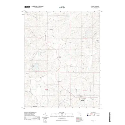
 1965 Rosebud1967 Print · USGSGasconade County in the mid-sixties reveals a landscape shaped by clay mining and deep-rooted community life. Researchers can trace family ties at Zoar Cem and Georgetown Cem or follow the path of the Chicago Rock Island and Pacific railroad.2 unique versions available
 - 1966 Map of St. Louis
 1966 St. Louis1966 Print · USGSThe St. Louis metropolitan area and its surrounding river valleys are captured here during the mid-sixties era of suburban growth and industrial strength. Genealogists and historians can trace the foundations of local communities through sites like Old Pioneer Cem, Parks College, and the Jefferson Barracks Military Reservation.
 - 1966 Map of Owensville East, 1967 Print
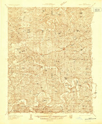
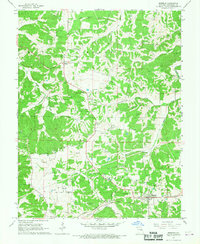
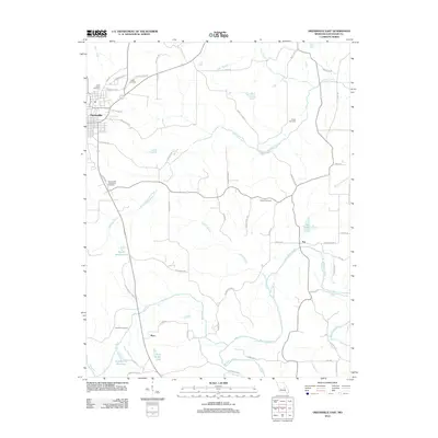
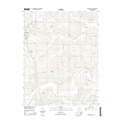
 1966 Owensville East1967 Print · USGSGasconade County in the mid-sixties shows a landscape of clay mining and river-fed valleys centered on the rail hub of Owensville. Researchers can trace early rural settlements and family heritage at St Peters Cem, Red Oak Ch, and along the winding Bourbeuse River.2 unique versions available
 - 1981 Map of Owensville West
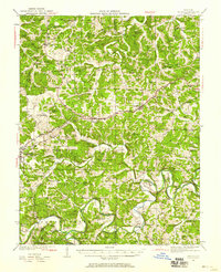
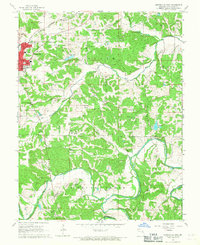
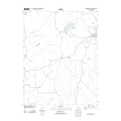
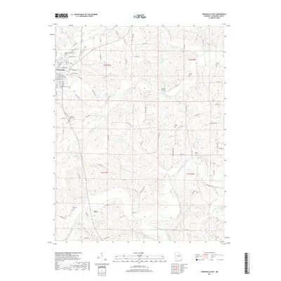
 1981 Owensville West1981 Print · USGSGasconade County was a center of clay mining and rural commerce in the early eighties. Genealogists and historians can trace numerous family burial sites like Old Bland Cem and Howard Cem, alongside the industrial legacy of many scattered Claypits.
 - 1985 Map of Sullivan
 1985 Sullivan1985 Print · USGSMid-1980s Missouri comes into focus here as the Ozark landscape balances industrial mining with river recreation. Genealogists and historians can trace the St Louis-San Francisco RR through Sullivan and locate landmarks like Pea Ridge Mine or St Cloud Church.3 unique versions available
 - 2012 Map of Owensville West, 2012 Print
 2012 Owensville West2012 Print · USGSCovers Owensville, including Cleavesville, Old Bland, and other nearby areas
 - 2012 Map of Owensville East, 2012 Print
 2012 Owensville East2012 Print · USGSCovers Owensville, including Tea, Bem, and other nearby areas
 - 2012 Map of Rosebud, 2012 Print
 2012 Rosebud2012 Print · USGSCovers Owensville, including Rosebud, Wittenberg, and other nearby areas
 - 2015 Map of Owensville West, 2015 Print
 2015 Owensville West2015 Print · USGSCovers Owensville, including Cleavesville, Old Bland, and other nearby areas
 - 2015 Map of Owensville East, 2015 Print
 2015 Owensville East2015 Print · USGSCovers Owensville, including Tea, Bem, and other nearby areas
 - 2015 Map of Rosebud, 2015 Print
 2015 Rosebud2015 Print · USGSCovers Owensville, including Rosebud, Wittenberg, and other nearby areas
 - 2017 Map of Owensville East, 2017 Print
 2017 Owensville East2017 Print · USGSCovers Owensville, including Tea, Bem, and other nearby areas
 - 2017 Map of Rosebud, 2017 Print
 2017 Rosebud2017 Print · USGSCovers Owensville, including Rosebud, Wittenberg, and other nearby areas
 - 2017 Map of Owensville West, 2017 Print
 2017 Owensville West2017 Print · USGSCovers Owensville, including Cleavesville, Old Bland, and other nearby areas
 - 2021 Map of Owensville East, 2021 Print
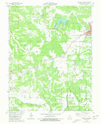
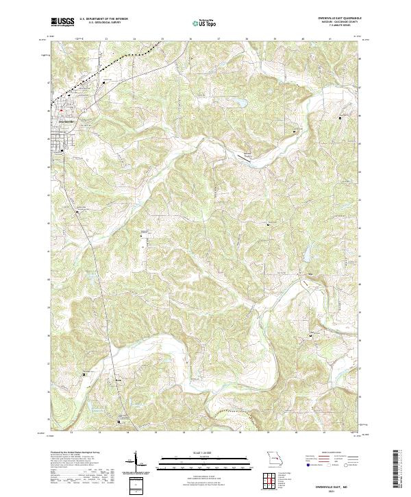 2021 Owensville East2021 Print · USGSGasconade County settlement patterns are preserved here in the early twenty-first century as agricultural lands surround the growth of Owensville. Genealogists can trace family names at the Bohemian Catholic Cem, Warren Cem, and the rural crossroads of Tea.
 - 2021 Map of Owensville West, 2021 Print
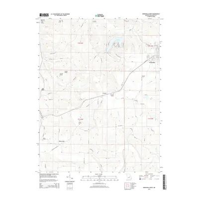
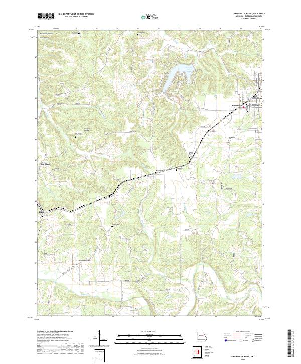 2021 Owensville West2021 Print · USGSGasconade County at the start of the 2020s shows a landscape of established townships and rural cemetery sites. Researchers can trace family roots at Saint Michael Cem or explore the transition from Old Bland to the newer town of Bland.
Showing maps 1-25 of 26
Top cities near Owensville
Frequently asked questions
- What are the different types of historical maps available for Owensville?
- What is the oldest map of Owensville?
- Where can I purchase historical maps of Owensville for my home or office?
- Where can I download high-res historical maps of Owensville?
- Are there historical topographic maps available for Owensville?
- Is there historical aerial imagery available for Owensville?
- Where are historical maps of Owensville sourced from?