2000s (21st Century) Maps of Gentry County, Missouri
Explore 64 historic maps of Gentry County from the 2000s (21st Century). These maps offer a rare glimpse into what life looked like during the 2000s — showing old roads, neighborhoods, homes, and landmarks that have changed or disappeared over time.
Whether you're researching your family's past, planning a metal detecting trip, or studying how Gentry County's landscape evolved across the 2000s, these high-resolution maps are a powerful tool for exploring the history of this region.
- Focus on a specific era: All maps on this page are from the 2000s, giving you a focused view of this time period.
- See what’s changed: Compare century-old streets, trails, and buildings to today's modern landscape using overlays and satellite layers.
- Research with precision: Use these maps for genealogy, historical research, land use analysis, or educational projects.
- View, download, or print: Maps are fully viewable online in high resolution, and can be downloaded or printed for your own records.
Start exploring Gentry County's history through authentic maps from the 2000s. This is your window into the past.
Gentry County, MO maps
(64)- 2011 Map of Berlin, 2011 Print
 2011 Berlin2011 Print · USGSCovers Gentry County, including Berlin, Grant Township, and other nearby areas
 - 2011 Map of Stanberry, 2011 Print
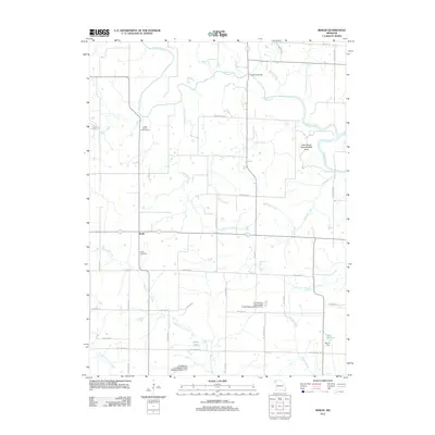
 2011 Stanberry2011 Print · USGSCovers Gentry County, including Stanberry, Cooper Township, and other nearby areas
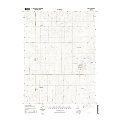
 - 2011 Map of King City, 2011 Print
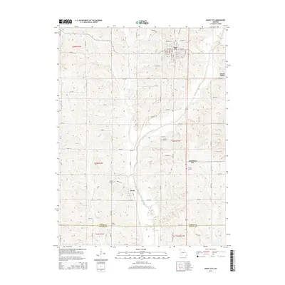
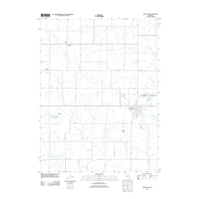 2011 King City2011 Print · USGSCovers Gentry County, including King City, Jackson Township, and other nearby areas
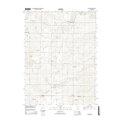
 - 2011 Map of Allendale, 2011 Print
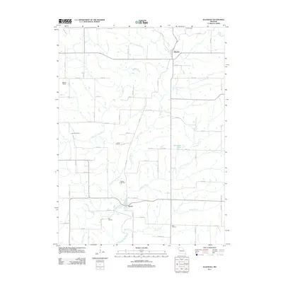 2011 Allendale2011 Print · USGSCovers Gentry County, including Allendale, Denver, and other nearby areas
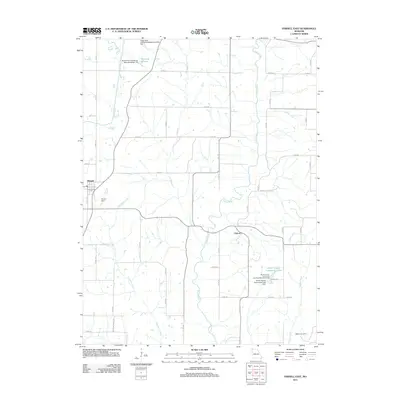
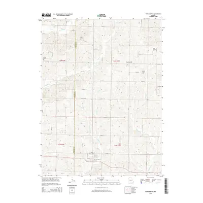
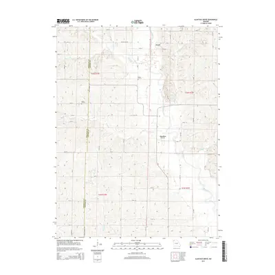
 - 2011 Map of New Hampton, 2011 Print
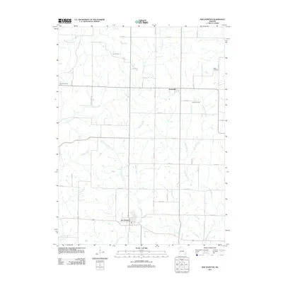 2011 New Hampton2011 Print · USGSCovers Gentry County, including New Hampton, Athens Township, and other nearby areas
 - 2011 Map of Washington Center, 2011 Print
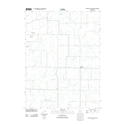 2011 Washington Center2011 Print · USGSCovers Gentry County, including Washington Center, Howard Township, and other nearby areas
 - 2011 Map of McFall, 2011 Print
 2011 McFall2011 Print · USGSCovers Gentry County, including McFall, Old Pattonsburg, and other nearby areas
 - 2011 Map of Parnell East, 2011 Print
 2011 Parnell East2011 Print · USGSCovers Gentry County, including Parnell, Independence Township, and other nearby areas
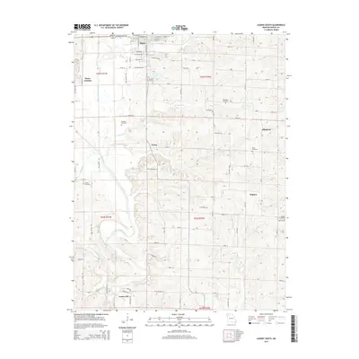
 - 2011 Map of Albany South, 2011 Print
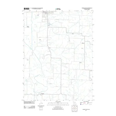 2011 Albany South2011 Print · USGSCovers Gentry County, including Albany, Gentryville, and other nearby areas
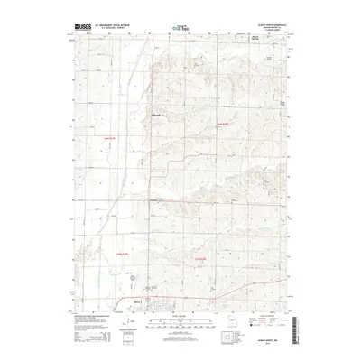
 - 2011 Map of Albany North, 2011 Print
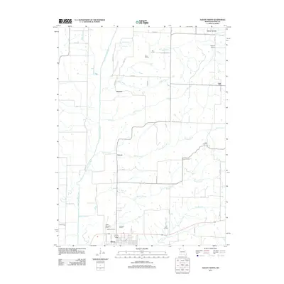 2011 Albany North2011 Print · USGSCovers Gentry County, including Albany, Ellenorah, and other nearby areas
 - 2011 Map of Darlington, 2011 Print
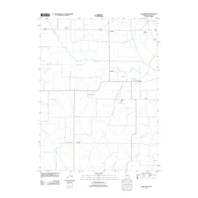 2011 Darlington2011 Print · USGSCovers Gentry County, including Darlington, Cooper Township, and other nearby areas
 - 2011 Map of Alanthus Grove, 2011 Print
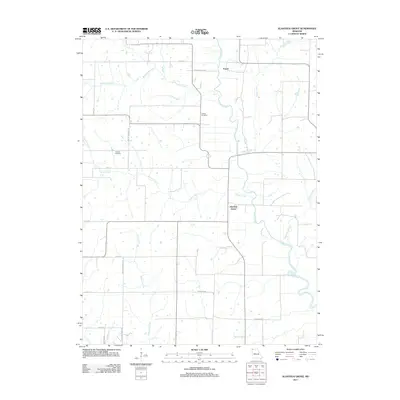 2011 Alanthus Grove2011 Print · USGSCovers Gentry County, including Cooper Township, Wilson Township, and other nearby areas
 - 2011 Map of Ford City, 2011 Print
 2011 Ford City2011 Print · USGSCovers Gentry County, including Winslow, Ford City, and other nearby areas
 - 2011 Map of Matkins, 2011 Print
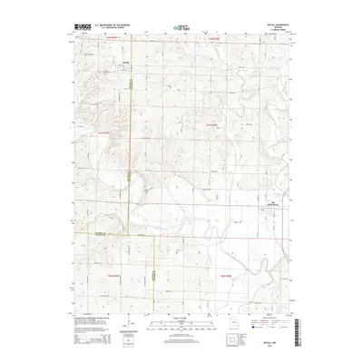
 2011 Matkins2011 Print · USGSCovers Gentry County, including Matkins, Miller Township, and other nearby areas
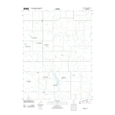
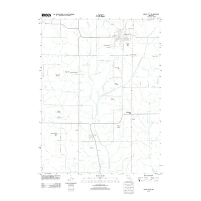
 - 2012 Map of Grant City, 2012 Print
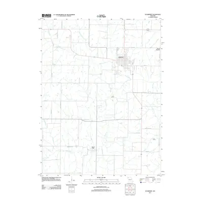
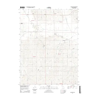
 2012 Grant City2012 Print · USGSCovers Gentry County, including Grant City, Worth, and other nearby areas
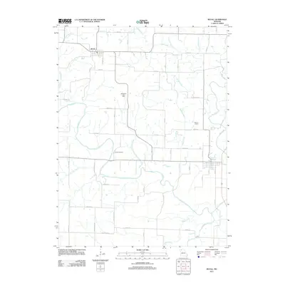
 - 2012 Map of Gentry, 2012 Print
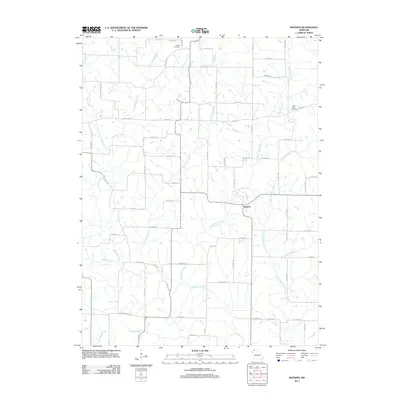
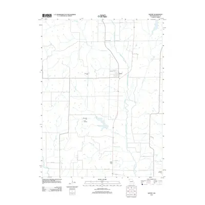 2012 Gentry2012 Print · USGSCovers Gentry County, including Gentry, Cooper Township, and other nearby areas
 - 2014 Map of New Hampton, 2014 Print
 2014 New Hampton2014 Print · USGSCovers Gentry County, including New Hampton, Athens Township, and other nearby areas
 - 2014 Map of McFall, 2014 Print
 2014 McFall2014 Print · USGSCovers Gentry County, including McFall, Old Pattonsburg, and other nearby areas
 - 2014 Map of Darlington, 2014 Print
 2014 Darlington2014 Print · USGSCovers Gentry County, including Darlington, Cooper Township, and other nearby areas
 - 2014 Map of Grant City, 2014 Print
 2014 Grant City2014 Print · USGSCovers Gentry County, including Grant City, Worth, and other nearby areas
 - 2014 Map of Allendale, 2014 Print
 2014 Allendale2014 Print · USGSCovers Gentry County, including Allendale, Denver, and other nearby areas
 - 2014 Map of Alanthus Grove, 2014 Print
 2014 Alanthus Grove2014 Print · USGSCovers Gentry County, including Cooper Township, Wilson Township, and other nearby areas
 - 2014 Map of Albany South, 2014 Print
 2014 Albany South2014 Print · USGSCovers Gentry County, including Albany, Gentryville, and other nearby areas
 - 2014 Map of Albany North, 2014 Print
 2014 Albany North2014 Print · USGSCovers Gentry County, including Albany, Ellenorah, and other nearby areas
 - 2014 Map of King City, 2014 Print
 2014 King City2014 Print · USGSCovers Gentry County, including King City, Jackson Township, and other nearby areas
Showing maps 1-25 of 64
Frequently asked questions
- What are the different types of historical maps available for Gentry County?
- What is the oldest map of Gentry County?
- Where can I purchase historical maps of Gentry County for my home or office?
- Where can I download high-res historical maps of Gentry County?
- Are there historical topographic maps available for Gentry County?
- Is there historical aerial imagery available for Gentry County?
- Where are historical maps of Gentry County sourced from?