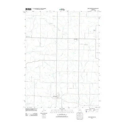
2011 Map of New Hampton
USGS Topo · Published 2011About this map
New Hampton and Martinsville anchor this Missouri landscape, which is defined by a dense network of creek forks and family-centric burial grounds. The township layout is structured around the meandering courses of Sampson Creek and its tributary, West Fork Sampson Creek, which drain the central plains. Smaller waterways like Town Branch and Pony Branch snake through the agricultural parcels, illustrating the natural drainage patterns that have dictated local land use for generations.
Find a feature on this map
47 named features on this map. Tap any name to fly to it.
Don’t see what you’re looking for? This feature index may not catch every label — zoom into the map to look around manually.
Map Details
Editions of this 2011 New Hampton Map
This is the sole edition of this map. No revisions or reprints were ever made.
Other maps of this area

1925 · Pattonsburg
USGS Topo · 1:62,500

1925 · Darlington
USGS Topo · 1:62,500

1942 · Grant City
USGS Topo · 1:62,500

1943 · Grant City
USGS Topo · 1:62,500

1944 · Pattonsburg
USGS Topo · 1:62,500

1946 · Pattonsburg
USGS Topo · 1:48,000

1948 · Bethany
USGS Topo · 1:62,500

1948 · Pattonsburg
USGS Topo · 1:62,500

1950 · Darlington
USGS Topo · 1:62,500

1955 · Nebraska City
USGS Topo · 1:250,000