2000s (21st Century) Maps of Strafford, Missouri
Explore 12 historic maps of Strafford from the 2000s (21st Century). These maps offer a rare glimpse into what life looked like during the 2000s — showing old roads, neighborhoods, homes, and landmarks that have changed or disappeared over time.
Whether you're researching your family's past, planning a metal detecting trip, or studying how Strafford's landscape evolved across the 2000s, these high-resolution maps are a powerful tool for exploring the history of this region.
- Focus on a specific era: All maps on this page are from the 2000s, giving you a focused view of this time period.
- See what’s changed: Compare century-old streets, trails, and buildings to today's modern landscape using overlays and satellite layers.
- Research with precision: Use these maps for genealogy, historical research, land use analysis, or educational projects.
- View, download, or print: Maps are fully viewable online in high resolution, and can be downloaded or printed for your own records.
Start exploring Strafford's history through authentic maps from the 2000s. This is your window into the past.
Strafford, MO maps
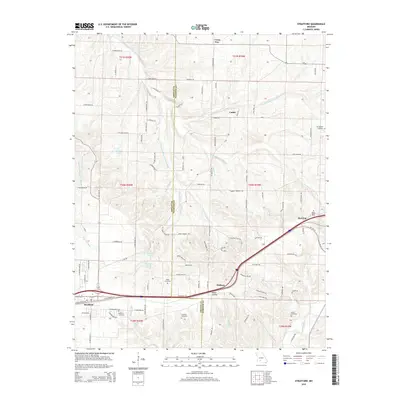
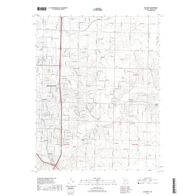
(12)- 2011 Map of Strafford, 2011 Print
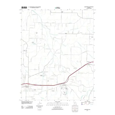 2011 Strafford2011 Print · USGSCovers Strafford, including Caddo, Red Top, and other nearby areas
 - 2011 Map of Bassville, 2011 Print
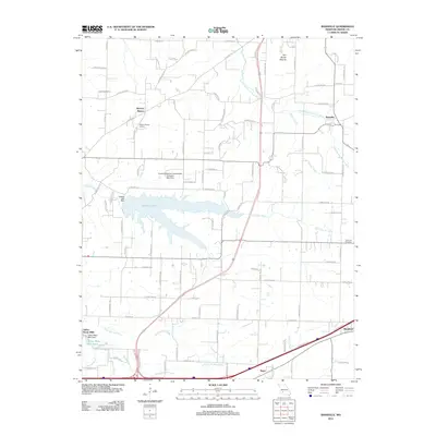 2011 Bassville2011 Print · USGSCovers Strafford, including Springfield, Fair Grove, and other nearby areas
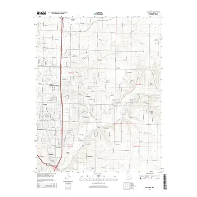
 - 2011 Map of Galloway, 2011 Print
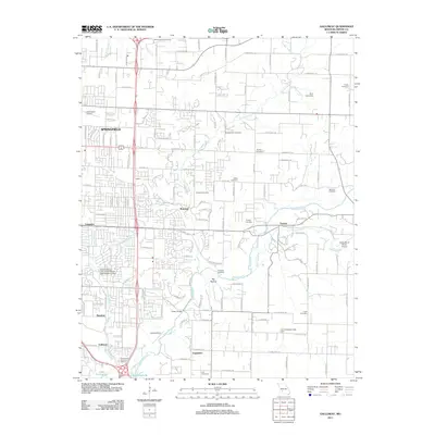 2011 Galloway2011 Print · USGSCovers Strafford, including Springfield, Turners, and other nearby areas
 - 2015 Map of Bassville, 2015 Print
 2015 Bassville2015 Print · USGSCovers Strafford, including Springfield, Fair Grove, and other nearby areas
 - 2015 Map of Strafford, 2015 Print
 2015 Strafford2015 Print · USGSCovers Strafford, including Caddo, Red Top, and other nearby areas
 - 2015 Map of Galloway, 2015 Print
 2015 Galloway2015 Print · USGSCovers Strafford, including Springfield, Turners, and other nearby areas
 - 2017 Map of Strafford, 2017 Print
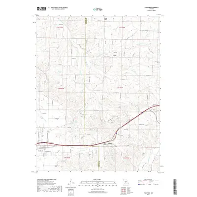 2017 Strafford2017 Print · USGSCovers Strafford, including Caddo, Red Top, and other nearby areas
 - 2017 Map of Bassville, 2017 Print
 2017 Bassville2017 Print · USGSCovers Strafford, including Springfield, Fair Grove, and other nearby areas
 - 2017 Map of Galloway, 2017 Print
 2017 Galloway2017 Print · USGSCovers Strafford, including Springfield, Turners, and other nearby areas
 - 2021 Map of Galloway, 2021 Print
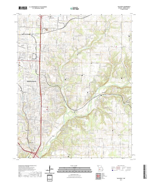 2021 Galloway2021 Print · USGSEastern Greene County at the start of the 2020s shows the continued integration of historic rural settlements into the expanding Springfield metro area. Researchers can locate numerous family burial sites like Danforth Cemetery and landmarks such as Kinser Bridge along the James River.
 - 2021 Map of Strafford, 2021 Print
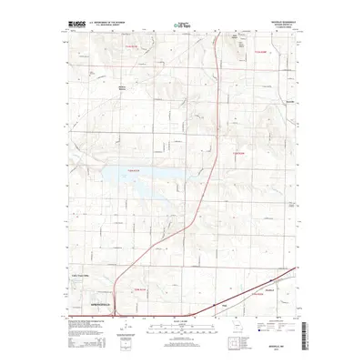
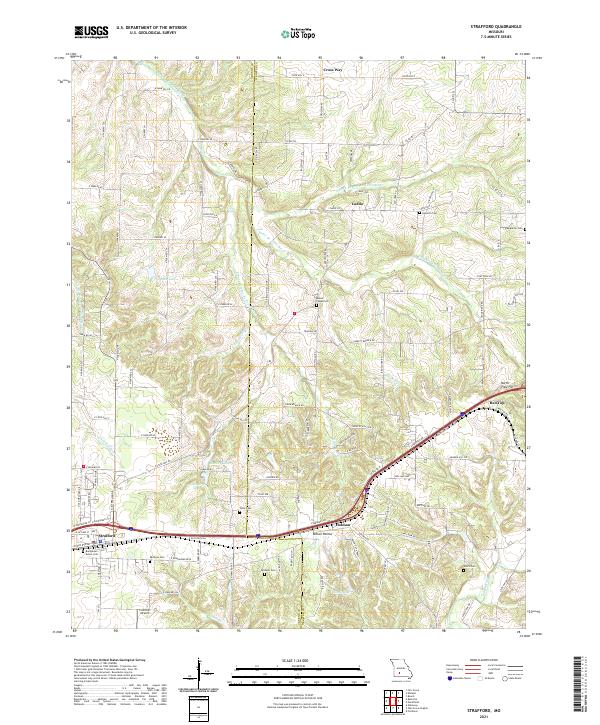 2021 Strafford2021 Print · USGSNear the Greene and Webster county line in the early 2020s, this area maintains its rural character along the upper Pomme de Terre River. Genealogists can locate several family burial sites including Willis Cem, Epworth Cem, and the Bumgarner - Keiser Cem.
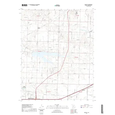
 - 2021 Map of Bassville, 2021 Print
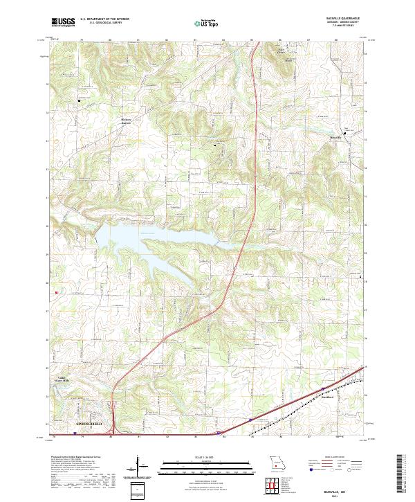 2021 Bassville2021 Print · USGSGreene County north of Springfield shows a mix of suburban growth and traditional rural crossroads in the early 2020s. Researchers can trace historical footprints at Old Salem Cem, Hickory Barren, and the waters of Fellows Lake.
End of results
Showing maps 1-12 of 12
Top cities near Strafford
- Springfield historical maps
- Nixa historical maps
- Ozark historical maps
- Marshfield historical maps
- Fair Grove historical maps
- Fordland historical maps
See more
Frequently asked questions
- What are the different types of historical maps available for Strafford?
- What is the oldest map of Strafford?
- Where can I purchase historical maps of Strafford for my home or office?
- Where can I download high-res historical maps of Strafford?
- Are there historical topographic maps available for Strafford?
- Is there historical aerial imagery available for Strafford?
- Where are historical maps of Strafford sourced from?