Old Maps of Strafford, Missouri
Explore 31 old maps of Strafford, spanning from 1884 to today. These high-resolution historic maps reveal how streets, neighborhoods, landmarks, and natural features evolved over time — perfect for genealogy, metal detecting, research, and local history exploration.
What you can do with these maps:
- See how Strafford changed over time: Compare historical maps to modern-day views to trace roads, homesites, rail lines & more.
- View detailed metadata: Each map includes creators, publishers, year, scale, and archive source.
- Overlay maps with satellite & LiDAR: Visualize the past alongside modern tools to explore terrain & human change.
- Trusted historical sources: Maps sourced from the USGS, Library of Congress, and other archives.
- Access maps your way: View online, download high-res files, or order prints for personal or research use.
Start exploring old maps of Strafford to uncover forgotten places, hidden landmarks, and the deep history beneath your feet.
Strafford, MO maps
(31)- 1884 Map of Springfield
 1884 Springfield1884 Print · USGSSpringfield emerged as a critical railroad junction in Southwest Missouri during the 1880s. Local researchers can trace the early layouts of Springfield, Willard, and Republic as they developed along the St. Louis and San Francisco Railroad.
 - 1886 Map of Springfield, 1896 Print
 1886 Springfield1896 Print · USGSSouthwest Missouri thrived as a regional rail hub in the 1880s, centering on the growth of Greene and Christian counties. Researchers can trace early rural settlements and rail stops like Springfield, Fair Grove, and Republic before the turn of the century.5 unique versions available
 - 1937 Map of Galloway
 1937 Galloway1937 Print · USGSGreene County townships during the late 1930s show a landscape of small schools and rural rail stops. Researchers can trace family sites like Mc Graw Cem, visit Sequiota State Park, or locate the original Springfield Municipal Park and Airport.2 unique versions available
 - 1937 Map of Ozark
 1937 Ozark1937 Print · USGSChristian and Greene Counties are captured here in the mid-1930s, showing a landscape of river-valley farms and small railroad towns. Genealogists can trace family names through dozens of rural landmarks like Roller Cemetery, Riverside Inn, and the Whiteoak Church.
 - 1943 Map of Ozark, 1968 Print
 1943 Ozark1968 Print · USGSThe James River valley south of Springfield comes alive in the 1940s, showing a landscape defined by small settlements and the St Louis - San Francisco line. Genealogists can trace family roots at Holland Cem or locate old school sites like Blue Star Sch and Plummer Sch.
 - 1945 Map of Ozark
 1945 Ozark1945 Print · USGSSouth of Springfield in the mid-1940s, this area shows a landscape transitioning from rural farmsteads to modern aviation hubs. Genealogists can trace family names at Holland Cem, Riverside Inn, and numerous school sites like Pedelo Sch.2 unique versions available
 - 1946 Map of Bassville, 1948 Print
 1946 Bassville1948 Print · USGSGreene County is shown here in the mid-1940s, a landscape of family farms and rural school districts before postwar expansion. Genealogists and local historians can locate several namesake institutions like Whitlock Sch, Elm Spring Cem, and the village of Bassville.
 - 1947 Map of Strafford, 1967 Print
 1947 Strafford1967 Print · USGSMissouri's Ozark plateau comes alive in the mid-forties, showing the rural school districts and crossroads towns of Greene and Dallas counties. Trace family roots at Mission Chapel, find the old roadbed of U. S. 66, or locate Tin Town.
 - 1948 Map of Bassville
 1948 Bassville1948 Print · USGSGreene County just after the war was a landscape of small farming districts and rural schools. Genealogists can trace family roots through landmarks like Hickory Barren Sch, Elm Spring Ch, and the crossroads at Bassville.
 - 1948 Map of Strafford
 1948 Strafford1948 Print · USGSMid-century Greene and Webster Counties center on the rail-aligned town of Strafford and the rural crossroads of Fair Grove. Genealogists can locate family landmarks including Mullinx Cem, Hickory Barren Sch, and the old Whitlock Ch.2 unique versions available
 - 1948 Map of Galloway
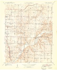 1948 Galloway1948 Print · USGSGreene County is shown here in the late 1940s as a landscape of rural schoolhouses and river crossings. Genealogists can trace family landmarks like Parsley Cem, Danforth Ch, and the historic railroad community of Galloway near Sequiota State Park.2 unique versions available
 - 1954 Map of Springfield
 1954 Springfield1954 Print · USGSThe Missouri Ozarks are captured here during the post-war era, showing the expansion of Springfield and the surrounding river valleys. Genealogists and historians can trace local landmarks like Mount Comfort Cemetery and the Fort Leonard Wood military grounds.6 unique versions available
 - 1958 Map of Springfield
 1958 Springfield1958 Print · USGSThe Missouri Ozarks are captured during the mid-century era of growth, centered on the bustling hub of Springfield. Genealogists and historians can trace family roots through numerous landmarks like Ebenezer Church, Stockton Cem, and the various county courthouses.
 - 1959 Map of Springfield
 1959 Springfield1959 Print · USGSThe Missouri Ozarks are captured here during a decade of postwar growth and increasing highway connectivity. Researchers can trace the legacy of the St Louis-San Francisco RR and locate early sites in Springfield, Lebanon, and Mountain Grove.
 - 1960 Map of Galloway, 1961 Print
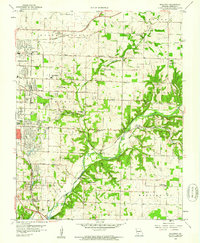 1960 Galloway1961 Print · USGSEastern Greene County at the dawn of the 1960s shows a mix of rural heritage and emerging city growth. Researchers can trace family roots through numerous landmarks like Kinser Chapel, the St Louis San Francisco railroad, and Bodenhamer Cem.4 unique versions available
 - 1961 Map of Bassville, 1962 Print
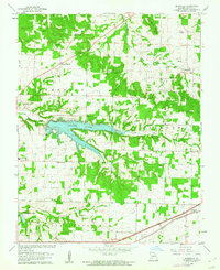 1961 Bassville1962 Print · USGSNortheast of Springfield in the early sixties, this area shows the recently established Fellows Lake and the rural crossroads of the day. Researchers can locate family landmarks like Salem Cem, Hickory Barren, and the old Pleasant View Sch.3 unique versions available
 - 1970 Map of Strafford, 1971 Print
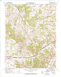 1970 Strafford1971 Print · USGSThe Strafford area in the early seventies shows a landscape shaped by the St. Louis - San Francisco railroad and the upper reaches of the James River. Researchers can trace rural church life and family history at Mt Calvary Ch, Caldwell Cem, and Epworth Ch.2 unique versions available
 - 1982 Map of Springfield, 1983 Print
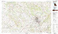 1982 Springfield1983 Print · USGSSpringfield and the surrounding Ozark plateau are captured in the early eighties as the region balanced urban growth with its agricultural roots. Genealogists and researchers can trace the locations of White Chapel, the State Sanatorium, and older rail stops like Brookline.
 - 1996 Map of Galloway, 2000 Print
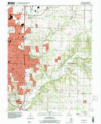 1996 Galloway2000 Print · USGSGreene County experiences significant suburban growth in the late nineties as development extends east from the city. Genealogists and historians can trace family-named sites like Kinser Chapel, locate the Flying Bar H Landing Strip, and follow the Burlington Northern railroad through Galloway.
 - 2011 Map of Strafford, 2011 Print
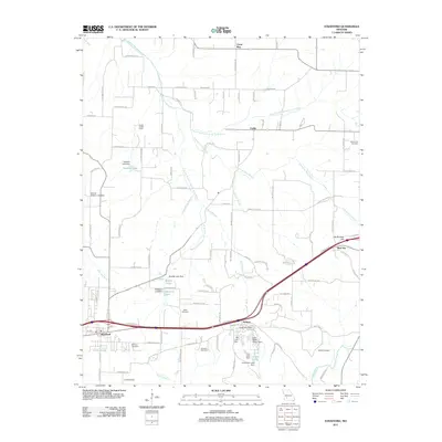 2011 Strafford2011 Print · USGSGreene County is shown at a moment of modern growth and rural preservation in the early twenty-first century. Family history researchers can trace local roots at Mullinax Cemetery and Welch Cemetery, while identifying landmarks like Happy Hollow Camp.
 - 2011 Map of Bassville, 2011 Print
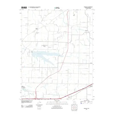 2011 Bassville2011 Print · USGSGreene County is shown here during a period of sustained growth north of Springfield, where new infrastructure meets long-standing rural communities. Researchers can trace the layout of early settlements like Bassville and Hickory Barren alongside Fellows Lake and the Dishman Cemetery.
 - 2011 Map of Galloway, 2011 Print
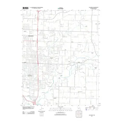 2011 Galloway2011 Print · USGSSpringfield and its eastern suburbs are captured here during a period of modern growth in Greene County. Genealogists and local historians can locate numerous burial sites like Webb Cemetery and McCraw Cemetery along the James River corridor.
 - 2015 Map of Bassville, 2015 Print
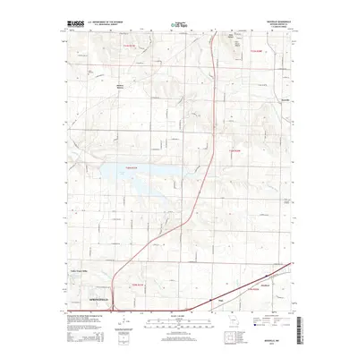 2015 Bassville2015 Print · USGSGreene County at the mid-2010s shows the suburban expansion of the Springfield fringe into established rural townships. Researchers can trace family roots at Salem Cemetery or locate old community hubs like Fair Grove and the namesake Bassville.
 - 2015 Map of Strafford, 2015 Print
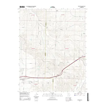 2015 Strafford2015 Print · USGSStrafford and the rural borderlands of Greene and Webster counties are captured here in 2015. Genealogists and local historians can trace family roots through numerous small burial grounds like Mullimax Cemetery and Welch Cemetery or locate landmarks along Old Route 66.
 - 2015 Map of Galloway, 2015 Print
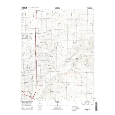 2015 Galloway2015 Print · USGSSpringfield and the James River valley are shown in the mid-2010s as the city expands eastward into the Missouri countryside. Genealogists and local historians can trace a dozen family burial grounds including Webb Cemetery and Logan Cemetery, alongside early airfield sites like Childress Airstrip.
Showing maps 1-25 of 31
Top cities near Strafford
- Springfield historical maps
- Nixa historical maps
- Ozark historical maps
- Marshfield historical maps
- Fair Grove historical maps
- Fordland historical maps
See more
Frequently asked questions
- What are the different types of historical maps available for Strafford?
- What is the oldest map of Strafford?
- Where can I purchase historical maps of Strafford for my home or office?
- Where can I download high-res historical maps of Strafford?
- Are there historical topographic maps available for Strafford?
- Is there historical aerial imagery available for Strafford?
- Where are historical maps of Strafford sourced from?