Old Maps of Calhoun, Missouri
Explore 18 old maps of Calhoun, spanning from 1887 to today. These high-resolution historic maps reveal how streets, neighborhoods, landmarks, and natural features evolved over time — perfect for genealogy, metal detecting, research, and local history exploration.
What you can do with these maps:
- See how Calhoun changed over time: Compare historical maps to modern-day views to trace roads, homesites, rail lines & more.
- View detailed metadata: Each map includes creators, publishers, year, scale, and archive source.
- Overlay maps with satellite & LiDAR: Visualize the past alongside modern tools to explore terrain & human change.
- Trusted historical sources: Maps sourced from the USGS, Library of Congress, and other archives.
- Access maps your way: View online, download high-res files, or order prints for personal or research use.
Start exploring old maps of Calhoun to uncover forgotten places, hidden landmarks, and the deep history beneath your feet.
Calhoun, MO maps
(18)- 1887 Map of Clinton
 1887 Clinton1887 Print · USGSWest-Central Missouri is captured during a period of rapid railroad expansion in the 1880s, centered on the growing junction at Clinton. Researchers can trace early township developments and find established settlements like Chalk Level, Iconium, and Brownington along the winding Osage River.
 - 1894 Map of Clinton
 1894 Clinton1894 Print · USGSHenry County and St. Clair County thrive during the peak of the railroad era in the 1890s. Genealogists and historians can trace the early rail stops at Clinton and Brownington, or locate vanished post offices like Chalk Level and Huntingdale.4 unique versions available
 - 1947 Map of Jefferson City, 1949 Print
 1947 Jefferson City1949 Print · USGSCentral Missouri and the northern Ozarks come into focus in this late 1940s survey of the river-and-rail landscape. Genealogists and historians can trace the growth of Jefferson City and Sedalia or locate family roots near Bagnell Dam and the Lake of the Ozarks.
 - 1953 Map of Calhoun East, 1955 Print
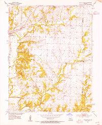 1953 Calhoun East1955 Print · USGSHenry County and the border of Benton County are captured in the early 1950s, showing a landscape of rural schoolhouses and prairie creek forks. Trace the old Missouri Kansas Texas rail line and find sites like Edgewood Sch, Oak Grove Ch, and Roseland.2 unique versions available
 - 1953 Map of Calhoun West, 1955 Print
 1953 Calhoun West1955 Print · USGSHenry County in the mid-fifties is captured here as a landscape of small farmsteads and rural school districts connected by the Missouri Kansas Texas railroad. Researchers can trace family history through sites like Drakes Chapel, Lewis, and the Deer Creek Sch.3 unique versions available
 - 1954 Map of Jefferson City
 1954 Jefferson City1954 Print · USGSCentral Missouri in the early postwar years showcases a landscape defined by the winding Lake of the Ozarks and the state capital at Jefferson City. Researchers can trace the mid-century rail networks of the Missouri Pacific RR and locate rural communities like Tuscumbia, St Elizabeth, and St Anthony.2 unique versions available
 - 1955 Map of Jefferson City, 1967 Print
 1955 Jefferson City1967 Print · USGSCentral Missouri in the mid-fifties is defined by the winding Missouri River and the expanding reach of Lake of the Ozarks. Researchers can trace the rail corridors of the Missouri Pacific or locate the early footprint of Whiteman AFB and Jefferson City.4 unique versions available
 - 1958 Map of Jefferson City
 1958 Jefferson City1958 Print · USGSCentral Missouri in the late fifties shows a region transforming through the growth of Whiteman Air Force Base and the Lake of the Ozarks. Researchers can trace rail lines like the Missouri Pacific or find family roots at Enloe Cemetery and Mount Pleasant Cem.
 - 1959 Map of Jefferson City
 1959 Jefferson City1959 Print · USGSCentral Missouri is captured during the mid-fifties as the river economy and rail networks like the Missouri Pacific met the rise of the automobile. Local researchers can trace family landmarks and rural infrastructure from the Lake of the Ozarks up to Providence Cemetery and Knob Noster State Park.
 - 1983 Map of Harry S Truman Reservoir, 1984 Print
 1983 Harry S Truman Reservoir1984 Print · USGSBenton and Henry counties center on the vast Harry S Truman Reservoir in the early 1980s as the landscape adapted to its new shoreline. Genealogists and historians can trace old river crossings like Bledsoe Ferry, local landmarks like Mt Zion Ch, and unique settlements such as Tightwad.
 - 2011 Map of Calhoun West, 2011 Print
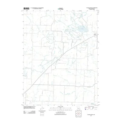 2011 Calhoun West2011 Print · USGSHenry County's rural landscape is mapped here in the early twenty-first century, centered on the drainage of the West Fork Tebo Creek. Genealogists and local historians can trace family locations near Calhoun, Lewis, and the Combs Cemetery.
 - 2011 Map of Calhoun East, 2011 Print
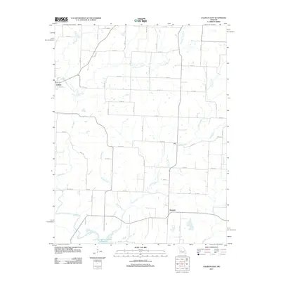 2011 Calhoun East2011 Print · USGSHenry County in the early twenty-first century remains a landscape of agricultural tradition and river-fed valleys. Researchers can trace rural settlement patterns near Calhoun and find the upper reaches of the Harry S Truman Reservoir and Middle Fork Tebo Creek.
 - 2014 Map of Calhoun West, 2014 Print
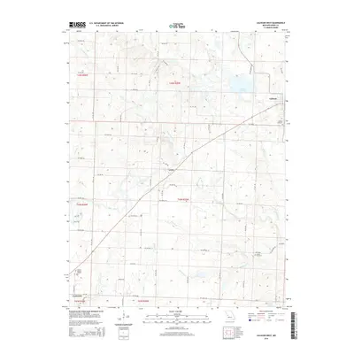 2014 Calhoun West2014 Print · USGSHenry County in the early twenty-first century reveals a transition from the outskirts of Clinton to the rural community of Calhoun. Researchers can trace local lineages and land use through landmarks like Clinton Memory Gardens, Combs Cemetery, and the path of W Fork Tebo Cr.
 - 2015 Map of Calhoun East, 2015 Print
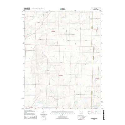 2015 Calhoun East2015 Print · USGSCalhoun and the eastern Henry County countryside are shown here in the mid-2010s as a landscape of structured farm roads and winding creek bottoms. Researchers can trace the path of the Katy Trl or locate rural landmarks like Yolo, Roseland, and the Harry S Truman Reservoir.
 - 2017 Map of Calhoun West, 2017 Print
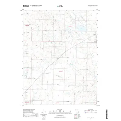 2017 Calhoun West2017 Print · USGSHenry County, Missouri, is captured here in the late twenty-teens, showing the rural landscapes between Calhoun and Clinton. Genealogists and local historians can locate Calhoun Cem and Combs Cem or trace the winding course of W Fork Tebo Cr.
 - 2017 Map of Calhoun East, 2017 Print
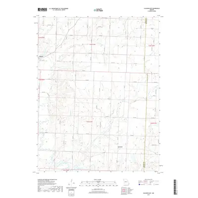 2017 Calhoun East2017 Print · USGSThe rural borders of Henry and Benton counties are captured here in the early twenty-first century. Researchers can trace land divisions and water sources near Calhoun, following Barker Cr and Duck Cr as they feed into the Harry S Truman Reservoir.
 - 2021 Map of Calhoun West, 2021 Print
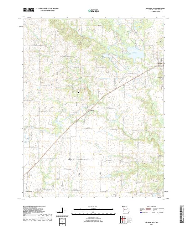 2021 Calhoun West2021 Print · USGSHenry County at the start of the 2020s shows a landscape defined by its historic rail heritage and prairie stream networks. Genealogists can trace rural cemeteries like Drakes Chapel Cem and Combs Cem while following the Katy Trl through Lewis.
 - 2021 Map of Calhoun East, 2021 Print
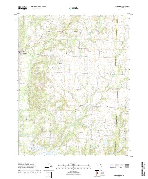 2021 Calhoun East2021 Print · USGSHenry County is captured here in the early twenty-first century, showing the rural landscape around Calhoun and Roseland. You can trace the path of the Katy Trl and follow the various tributaries like Barker Cr and Sand Cr as they flow toward the Harry S Truman Reservoir.
End of results
Showing maps 1-18 of 18
Top cities near Calhoun
- Clinton historical maps
- Windsor historical maps
- Leesville historical maps
- Leeton historical maps
- Deepwater historical maps
- Green Ridge historical maps
See more
Frequently asked questions
- What are the different types of historical maps available for Calhoun?
- What is the oldest map of Calhoun?
- Where can I purchase historical maps of Calhoun for my home or office?
- Where can I download high-res historical maps of Calhoun?
- Are there historical topographic maps available for Calhoun?
- Is there historical aerial imagery available for Calhoun?
- Where are historical maps of Calhoun sourced from?