
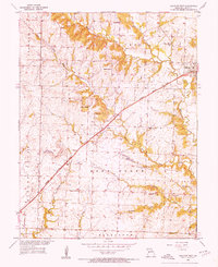
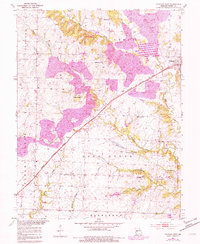
1953 Map of Calhoun West
USGS Topo · Published 1955About this map
The Missouri Kansas Texas railroad cuts a diagonal path through Henry County, anchoring the small settlements of Calhoun and Lewis in the early 1950s. This landscape is a patchwork of small-scale agriculture and rural infrastructure, where local life centered around a dense network of country schoolhouses like Merritt Sch, Plum Grove Sch, and Highland Sch. The topography is defined by the winding paths of Tebo Creek and its tributaries, including Sand Creek and the West Fork Tebo Creek.
Find a feature on this map
36 named features on this map. Tap any name to fly to it.
Don’t see what you’re looking for? This feature index may not catch every label — zoom into the map to look around manually.
Map Details
Editions of this 1953 Calhoun West Map
Other maps of this area

1885 · Warrensburg
USGS Topo · 1:125,000

1887 · Clinton
USGS Topo · 1:125,000

1887 · Warrensburg
USGS Topo · 1:125,000

1894 · Warrensburg
USGS Topo · 1:125,000

1894 · Clinton
USGS Topo · 1:125,000

1947 · Jefferson City
USGS Topo · 1:250,000

1953 · Gaines
USGS Topo · 1:24,000
1953 · Calhoun East
USGS Topo · 1:24,000

1953 · Clinton South
USGS Topo · 1:24,000
1953 · Leesville
USGS Topo · 1:24,000