
1894 Map of Clinton
USGS Topo · Published 1894About this map
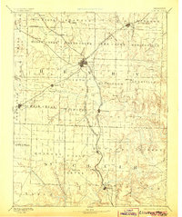
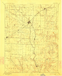
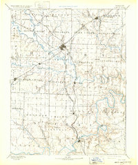
Clinton serves as the central hub of this late nineteenth-century Missouri landscape, where the convergence of three major rail lines drove the region's development. The Missouri Kansas and Texas Railroad, Missouri Pacific Railroad, and the Kansas City Clinton and Springfield Railroad created a dense network of transit for the surrounding agricultural townships. Moving south into St. Clair County, the landscape transitions toward the winding banks of the Osceola area along the river bluffs. Small rural settlements such as Chalk Level, Brownington, and Lowry are positioned along these iron arteries, illustrating how rail proximity dictated the survival of local post offices and trade centers. Significant water features like Deepwater Creek and Tebo Creek further defined the geography, providing natural boundaries for established districts like Shawnee and Fields Creek as they were surveyed in the decade following the Civil War.
Find a feature on this map
81 named features on this map. Tap any name to fly to it.
Don’t see what you’re looking for? This feature index may not catch every label — zoom into the map to look around manually.
Map Details
Editions of this 1894 Clinton Map
4 editions found
Other maps of this area

1884 · Bolivar
USGS Topo · 1:125,000

1885 · Warrensburg
USGS Topo · 1:125,000

1886 · Nevada
USGS Topo · 1:125,000

1886 · Stockton
USGS Topo · 1:125,000

1887 · Clinton
USGS Topo · 1:125,000

1887 · Harrisonville
USGS Topo · 1:125,000

1887 · Sedalia
USGS Topo · 1:125,000

1887 · Warsaw
USGS Topo · 1:125,000

1887 · Butler
USGS Topo · 1:125,000

1887 · Warrensburg
USGS Topo · 1:125,000