Old Maps of Lucas, Missouri for Hiking & Exploration
Hike through history with 12 historic maps of Lucas. Explore old trails, ghost towns, and forgotten backroads — perfect for outdoor adventurers and local explorers.
- Rediscover forgotten places: Map out old mining camps, roads, and footpaths that no longer exist on modern maps.
- Layer with modern tools: Combine with LiDAR or satellite views to plan hikes through historical terrain.
- Made for exploration: Popular among hikers, overlanders, and local history lovers.
Use these maps to find adventure and explore the hidden past of Lucas.
Lucas, MO maps
(12)- 1887 Map of Butler
 1887 Butler1887 Print · USGSBates County is captured here in the 1880s as the rail and river economies converged. Researchers can trace the early footprints of Butler and Rich Hill, or locate smaller disappeared locales like Carbon Centre and Crescent Hill.
 - 1894 Map of Butler
 1894 Butler1894 Print · USGSBates County is captured here in the late nineteenth century as the railroad began to redefine its rural economy. Genealogists can trace family roots through the grids of Butler and Rich Hill, or locate smaller centers like Papinsville and Crescent Hill.4 unique versions available
 - 1947 Map of Lawrence, 1954 Print
 1947 Lawrence1954 Print · USGSEastern Kansas and western Missouri thrive in the late 1940s, showing a landscape defined by major river valleys and a dense railway network. Genealogists can trace family settlements from Lawrence to Greenwood and locate landmarks like Olathe Navy and Lake Lotawana.
 - 1950 Map of Lawrence
 1950 Lawrence1950 Print · USGSMid-century Kansas and Missouri come alive in this map of the river-valley corridors just as the interstate era was beginning. Researchers can trace the legacy of major rail lines like the Union Pacific RR and locate ancestral roots in towns from Lawrence to Harrisonville.
 - 1953 Map of Creighton, 1955 Print
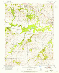 1953 Creighton1955 Print · USGSCreighton and Urich sat at a busy county-line junction in the early fifties, before the landscape was altered by modern river management. Genealogists can trace rural roots at Smoky Row Sch, Cove Creek Ch, and family burial grounds like Parker Cem.
 - 1956 Map of Lawrence, 1967 Print
 1956 Lawrence1967 Print · USGSEastern Kansas and the Missouri border country are captured here during the mid-century transition to the interstate era. Genealogists and local historians can trace family-named terrain like Summers Mound and the footprint of Sunflower Ordnance Works near Baldwin City.4 unique versions available
 - 1961 Map of Lawrence
 1961 Lawrence1961 Print · USGSThe Kansas-Missouri borderland shows its mid-century transition from a rail-dependent agricultural region to a suburbanizing landscape. Genealogists can trace family footprints through numerous Cem sites and distinctive terrain landmarks like Graves Mound and Summers Mound.
 - 1981 Map of Butler
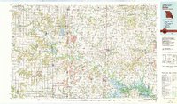 1981 Butler1981 Print · USGSWestern Missouri and eastern Kansas settlements are documented here in the early eighties, as the river valleys were transitioning into major wildlife management areas. Genealogists can locate family names near Greenlawn Cem or trace the development of towns like Butler, Osawatomie, and Appleton City.
 - 2011 Map of Creighton, 2011 Print
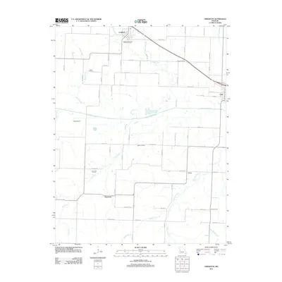 2011 Creighton2011 Print · USGSHenry County farmland and river bottoms are documented here in the early 21st century. Genealogists and local historians can trace family ties through Parker Cemetery, Fewel Cemetery, and the small communities of Creighton and Lucas.
 - 2014 Map of Creighton, 2014 Print
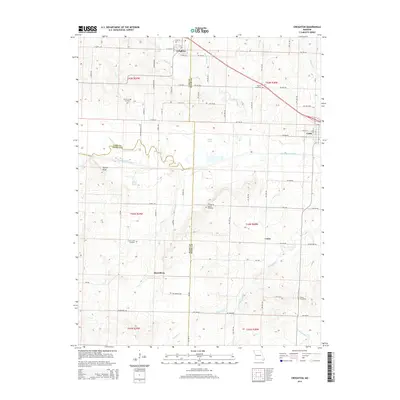 2014 Creighton2014 Print · USGSHenry and Cass counties are documented here in 2014, showing the rural Missouri landscape surrounding the South Grand River. Family historians can locate several rural burial grounds including Parker-Gregg Cemetery, Mullins Cemetery, and the community at Mayesburg.
 - 2017 Map of Creighton, 2017 Print
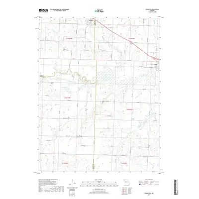 2017 Creighton2017 Print · USGSThe crossroads of Henry, Cass, and Bates Counties are documented here in the early twenty-first century, showing a landscape shaped by the South Grand River. Researchers can locate several rural burial grounds, including Parker-Gregg Cem and the Fewel Cem, alongside local landmarks like Turkey Knob.
 - 2021 Map of Creighton, 2021 Print
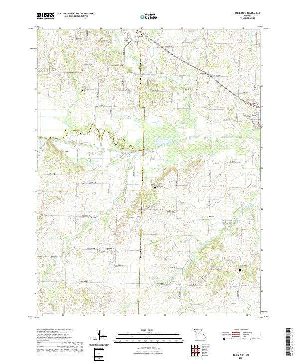 2021 Creighton2021 Print · USGSThe rural borders of Cass and Henry counties come together in the early 2020s amidst a landscape of river bends and prairie roads. Researchers can locate numerous family burial sites like the Parker - Gregg Cem or trace the early paths through Mayesburg and Lucas.
End of results
Showing maps 1-12 of 12
Top cities near Lucas
- Garden City historical maps
- Appleton City historical maps
- Urich historical maps
- Montrose historical maps
- Creighton historical maps
- Chilhowee historical maps
See more
Frequently asked questions
- What are the different types of historical maps available for Lucas?
- What is the oldest map of Lucas?
- Where can I purchase historical maps of Lucas for my home or office?
- Where can I download high-res historical maps of Lucas?
- Are there historical topographic maps available for Lucas?
- Is there historical aerial imagery available for Lucas?
- Where are historical maps of Lucas sourced from?