Old Maps of Craig, Missouri for Hiking & Exploration
Hike through history with 16 historic maps of Craig. Explore old trails, ghost towns, and forgotten backroads — perfect for outdoor adventurers and local explorers.
- Rediscover forgotten places: Map out old mining camps, roads, and footpaths that no longer exist on modern maps.
- Layer with modern tools: Combine with LiDAR or satellite views to plan hikes through historical terrain.
- Made for exploration: Popular among hikers, overlanders, and local history lovers.
Use these maps to find adventure and explore the hidden past of Craig.
Craig, MO maps
(16)- 1920 Map of Craig
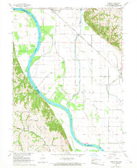
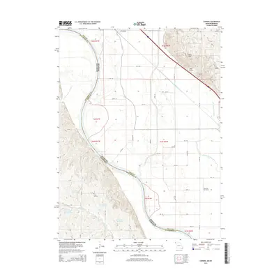
 1920 Craig1920 Print · USGSThe Missouri River bottoms and neighboring bluffs come alive in this post-war survey of the Nebraska-Missouri border. Researchers can trace dozens of rural landmarks, from the streets of Rulo and Bigelow to scattered schoolhouses like Brush College School and Idlewild School.5 unique versions available
 - 1955 Map of Nebraska City, 1967 Print
 1955 Nebraska City1967 Print · USGSThe four-state region surrounding the Missouri River valley appears here in the mid-1950s, a landscape of rail-dependent market towns and rural school districts. Genealogists can locate family landmarks like the Rock Bluff School, St Oswald Church, and the Clarinda State Hospital.3 unique versions available
 - 1957 Map of Nebraska City
 1957 Nebraska City1957 Print · USGSThe four-state junction of Nebraska, Iowa, Missouri, and Kansas comes alive in this mid-fifties survey of the Missouri River valley. Genealogists and historians can trace the rail-and-road networks connecting Nebraska City, Maryville, and the Squaw Creek National Wildlife Refuge.
 - 1958 Map of Nebraska City
 1958 Nebraska City1958 Print · USGSThe Missouri River Valley and its fertile four-state borderlands are captured here during the mid-century expansion of the regional highway and rail networks. Genealogists can trace family roots through numerous rural landmarks like Moulton School, Shady Grove Church, and the Clarinda State Hospital.
 - 1966 Map of Corning, 1968 Print
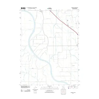
 1966 Corning1968 Print · USGSCorning and Craig sit within the fertile Missouri River floodplain during the mid-1960s, a period of established rail transport and river management. Researchers can locate numerous family burial sites and rural institutions like Arago Cemetery, St Marys Church, and the Fargo School.2 unique versions available
 - 1981 Map of Craig, 1982 Print
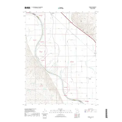
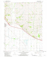 1981 Craig1982 Print · USGSMissouri's Missouri River valley bottomlands come into focus in the early eighties as the rail lines and river channels define the Holt County countryside. Researchers can trace the Burlington Northern tracks or locate family sites like Caton Cem and Pleasant View Ch.
 - 1986 Map of Falls City
 1986 Falls City1986 Print · USGSThe Missouri River borderlands of Nebraska and Missouri were a landscape of established colleges and river-bound railroads in the mid-1980s. Researchers can locate long-standing landmarks like Peru State College, the Iowa Indian Reservation, and St Johns Cem.2 unique versions available
 - 2012 Map of Craig, 2012 Print
 2012 Craig2012 Print · USGSCovers Craig, including Holt County, United States, and other nearby areas
 - 2012 Map of Corning, 2012 Print
 2012 Corning2012 Print · USGSCovers Craig, including Corning, Arago, and other nearby areas
 - 2014 Map of Corning, 2014 Print
 2014 Corning2014 Print · USGSCovers Craig, including Corning, Arago, and other nearby areas
 - 2014 Map of Craig, 2014 Print
 2014 Craig2014 Print · USGSCovers Craig, including Holt County, United States, and other nearby areas
 - 2017 Map of Corning, 2017 Print
 2017 Corning2017 Print · USGSCovers Craig, including Corning, Arago, and other nearby areas
 - 2017 Map of Craig, 2017 Print
 2017 Craig2017 Print · USGSCovers Craig, including Holt County, United States, and other nearby areas
 - 2021 Map of Corning, 2021 Print
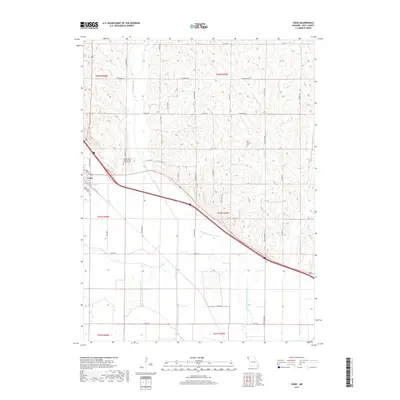
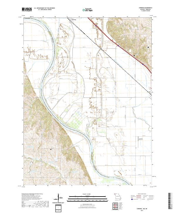 2021 Corning2021 Print · USGSThe Missouri-Nebraska borderlands along the Missouri River come into focus in this recent survey of the Holt County floodplain. Genealogists and local researchers can pinpoint family burial sites at Parrish Cem and Arago Cem or trace the winding Old Channel Tarkio River.
 - 2021 Map of Craig, 2021 Print
 2021 Craig2021 Print · USGSCovers Craig, including Holt County, United States, and other nearby areas
 - 2023 Map of Craig, 2023 Print
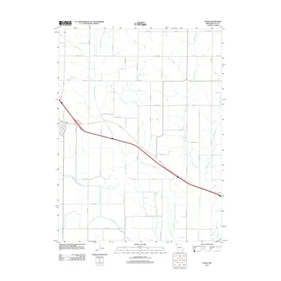
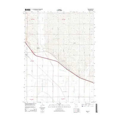
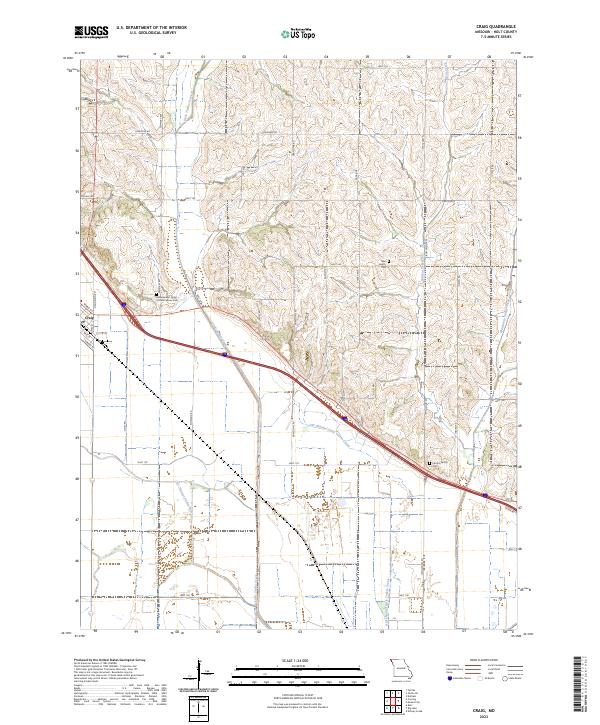 2023 Craig2023 Print · USGSThe Missouri River floodplain and its eastern bluffs are captured here in the early 2020s, centered on the town of Craig. Researchers can trace old watercourses like the Old Channel Tarkio River or locate family plots at the Canton Family Cem and New Liberty Cem.
End of results
Showing maps 1-16 of 16
Top cities near Craig
- Falls City historical maps
- Rock Port historical maps
- Mound City historical maps
- Oregon historical maps
- Fairfax historical maps
- Forest City historical maps
See more
Frequently asked questions
- What are the different types of historical maps available for Craig?
- What is the oldest map of Craig?
- Where can I purchase historical maps of Craig for my home or office?
- Where can I download high-res historical maps of Craig?
- Are there historical topographic maps available for Craig?
- Is there historical aerial imagery available for Craig?
- Where are historical maps of Craig sourced from?