Old Maps of Richville, Missouri for Hiking & Exploration
Hike through history with 16 historic maps of Richville. Explore old trails, ghost towns, and forgotten backroads — perfect for outdoor adventurers and local explorers.
- Rediscover forgotten places: Map out old mining camps, roads, and footpaths that no longer exist on modern maps.
- Layer with modern tools: Combine with LiDAR or satellite views to plan hikes through historical terrain.
- Made for exploration: Popular among hikers, overlanders, and local history lovers.
Use these maps to find adventure and explore the hidden past of Richville.
Richville, MO maps
(16)- 1885 Map of Atchison, 1954 Print
 1885 Atchison1954 Print · USGSNortheast Kansas and the Missouri border appear here in the late nineteenth century as a bustling corridor of river commerce and rail expansion. Genealogists can trace family roots through early settlements like Highland, Troy, and Everest, or locate the bounds of the Iowa Indian Reservation.
 - 1888 Map of Atchison
 1888 Atchison1888 Print · USGSThe Kansas-Missouri borderlands come alive in this late nineteenth-century record of a booming river and rail economy. Genealogists and historians can trace the early footprints of Atchison and Troy, or locate landmarks like the Iowa Indian Reservation and Sugar Lake.
 - 1893 Map of Atchison
 1893 Atchison1893 Print · USGSNortheastern Kansas is captured here in the late nineteenth century as a bustling rail corridor along the Missouri River. Genealogists and historians can trace the early layout of the Iowa Indian Reservation and locate old trackside settlements like Severance and Effingham.5 unique versions available
 - 1926 Map of Oregon
 1926 Oregon1926 Print · USGSHolt County's river bluffs and bottomlands are captured here in the mid-1920s, showing the early infrastructure of the Missouri valley. Genealogists can trace a wealth of rural landmarks including Mayflower School, the settlement of Richville, and the Chicago Burlington and Quincy rail line.3 unique versions available
 - 1950 Map of Kansas City
 1950 Kansas City1950 Print · USGSMid-century Kansas and Missouri are captured here during a period of industrial growth and shifting transportation. Genealogists and historians can trace rail lines like the Wabash RR or locate ancestral homes near the Potawatomi Indian Reservation and Horton.
 - 1954 Map of Kansas City
 1954 Kansas City1954 Print · USGSThe Missouri-Kansas borderlands flourished in the post-war era as river commerce and rail networks converged at the Missouri River. Genealogists and historians can trace the foundations of Kansas City and smaller rural hubs like Hiawatha or Sabetha.
 - 1956 Map of Kansas City, 1967 Print
 1956 Kansas City1967 Print · USGSThe Kansas-Missouri border region thrived during the mid-fifties, centered on the growing metropolitan cores and the busy river valleys. Researchers can trace the layout of significant government sites like Fort Leavenworth and the Lake City Army Ammunition Plant.4 unique versions available
 - 1960 Map of Kansas City
 1960 Kansas City1960 Print · USGSMid-century Kansas and Missouri meet at the river forks, showing a sprawling rail-and-river economy during the 1950s growth era. Genealogists and researchers can trace tribal lands like the Kickapoo Indian Reservation or follow the early interstate corridors through Saint Joseph and Independence.3 unique versions available
 - 1961 Map of Forbes, 1962 Print
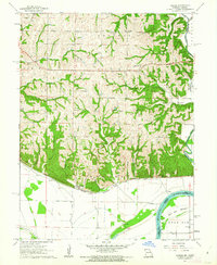 1961 Forbes1962 Print · USGSThe confluence of the Nodaway River and Missouri River defines this Missouri-Kansas border landscape in the early sixties. Researchers can trace rural lineages through numerous country landmarks like Woodville Ch and the Brodbeck Cem.3 unique versions available
 - 1985 Map of Atchison
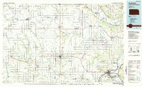 1985 Atchison1985 Print · USGSNortheast Kansas at the mid-eighties shows a landscape of river-bend towns and expansive tribal lands during a period of steady agricultural and rail activity. Local researchers can locate family sites at Mt Hope Cemetery, trace the grounds of Highland College, or explore the limits of the Kickapoo Indian Reservation.
 - 1990 Map of Atchison
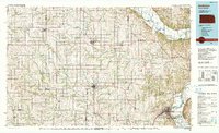 1990 Atchison1990 Print · USGSNortheast Kansas and northwest Missouri meet at the winding Missouri River in this late twentieth-century record of a historic border region. Researchers can trace the paths of the Pony Express Trail and the Atchison Topeka and Santa Fe Railway while locating landmarks like St Benedicts College and Mount Vernon Cem.
 - 2009 Map of Forbes, 2009 Print
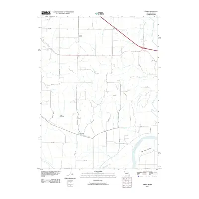 2009 Forbes2009 Print · USGSHolt County's river bluffs and bottomlands are captured here in the early 2000s, showing the agricultural landscape north of the Missouri. Genealogists and historians can locate Brodback Cemetery, the settlement of Forbes, and landmarks like the Frank Milne Dam.
 - 2011 Map of Forbes, 2011 Print
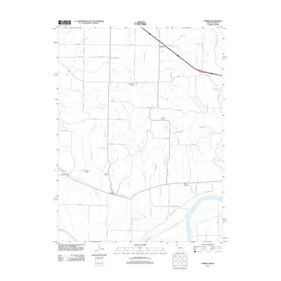 2011 Forbes2011 Print · USGSIn this 2011 survey of Holt County, the Missouri riverfront meets a landscape of rural cemeteries and winding creek branches. Genealogists and local historians can trace the areas around Forbes, Richville, and sites like Brodback Cemetery or the Mark Twain Air Strip.
 - 2015 Map of Forbes, 2015 Print
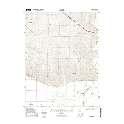 2015 Forbes2015 Print · USGSThe Missouri-Kansas borderlands in the early 21st century reveal a landscape of deep bluffs and river bottoms near the Missouri River. Genealogists and local historians can locate rural burial sites like Brodback Cemetery and Highland Cemetery among landmarks like Barrett Hollow.
 - 2017 Map of Forbes, 2017 Print
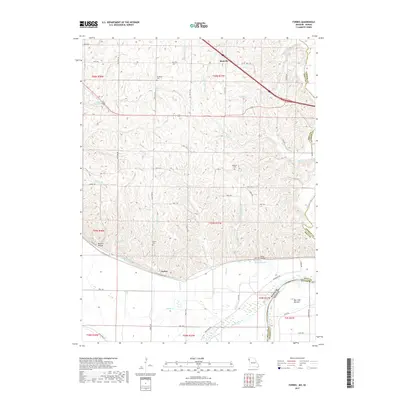 2017 Forbes2017 Print · USGSThe Missouri River floodplain and the loess bluffs of Holt County are captured here in the late twenty-teens. Genealogists can trace family footprints at Brodback Cem, Forbes Cem, and Highland Cem, or locate the historic river-bottom lands of Burr Oak Bottom.
 - 2021 Map of Forbes, 2021 Print
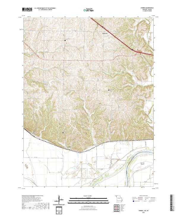 2021 Forbes2021 Print · USGSThe Missouri River bluffs and floodplain in Holt County come alive here in the 2020s. Researchers can trace family history at Brodback Cem or locate the rural settlements of Forbes and Richville among the hollows and bottoms.
End of results
Showing maps 1-16 of 16
Top cities near Richville
- Saint Joseph historical maps
- Savannah historical maps
- Wathena historical maps
- Elwood historical maps
- Mound City historical maps
- Troy historical maps
See more
Frequently asked questions
- What are the different types of historical maps available for Richville?
- What is the oldest map of Richville?
- Where can I purchase historical maps of Richville for my home or office?
- Where can I download high-res historical maps of Richville?
- Are there historical topographic maps available for Richville?
- Is there historical aerial imagery available for Richville?
- Where are historical maps of Richville sourced from?