2000s (21st Century) Maps of Pilot Knob, Missouri
Explore 9 historic maps of Pilot Knob from the 2000s (21st Century). These maps offer a rare glimpse into what life looked like during the 2000s — showing old roads, neighborhoods, homes, and landmarks that have changed or disappeared over time.
Whether you're researching your family's past, planning a metal detecting trip, or studying how Pilot Knob's landscape evolved across the 2000s, these high-resolution maps are a powerful tool for exploring the history of this region.
- Focus on a specific era: All maps on this page are from the 2000s, giving you a focused view of this time period.
- See what’s changed: Compare century-old streets, trails, and buildings to today's modern landscape using overlays and satellite layers.
- Research with precision: Use these maps for genealogy, historical research, land use analysis, or educational projects.
- View, download, or print: Maps are fully viewable online in high resolution, and can be downloaded or printed for your own records.
Start exploring Pilot Knob's history through authentic maps from the 2000s. This is your window into the past.
Pilot Knob, MO maps
(9)- 2000 Map of Ironton, 2003 Print
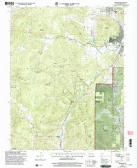 2000 Ironton2003 Print · USGSIron County’s Arcadia Valley is captured at the millennium, showing the established communities of Ironton and Arcadia surrounded by the state's highest peaks. Genealogists and historians can locate the Site of Fort Davidson, Ursuline Academy, and rural landmarks like Victory Ch.
 - 2011 Map of Ironton, 2011 Print
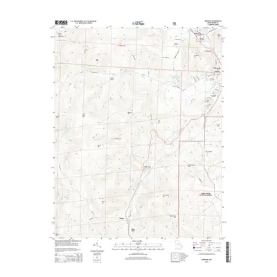
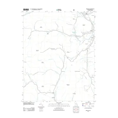 2011 Ironton2011 Print · USGSCovers Pilot Knob, including Ironton, Arcadia, and other nearby areas
 - 2011 Map of Graniteville, 2011 Print
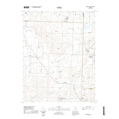
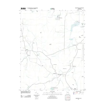 2011 Graniteville2011 Print · USGSCovers Pilot Knob, including Iron Mountain Lake, Belleview, and other nearby areas
 - 2015 Map of Graniteville, 2015 Print
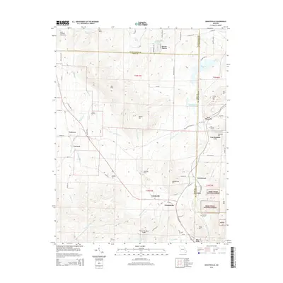 2015 Graniteville2015 Print · USGSCovers Pilot Knob, including Iron Mountain Lake, Belleview, and other nearby areas
 - 2015 Map of Ironton, 2015 Print
 2015 Ironton2015 Print · USGSCovers Pilot Knob, including Ironton, Arcadia, and other nearby areas
 - 2017 Map of Ironton, 2017 Print
 2017 Ironton2017 Print · USGSCovers Pilot Knob, including Ironton, Arcadia, and other nearby areas
 - 2017 Map of Graniteville, 2017 Print
 2017 Graniteville2017 Print · USGSCovers Pilot Knob, including Iron Mountain Lake, Belleview, and other nearby areas
 - 2021 Map of Graniteville, 2021 Print
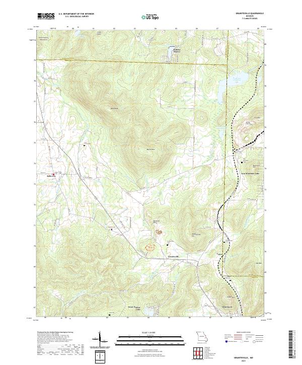 2021 Graniteville2021 Print · USGSThe mining and mountain heritage of Iron County is preserved here in the early twenty-first century. Researchers can trace family roots through numerous sites like Graniteville Cem, Middlebrook Cem, and the old residential lanes of Belleview.
 - 2021 Map of Ironton, 2021 Print
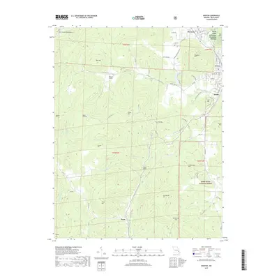
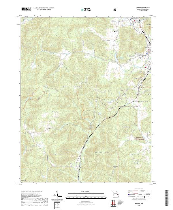 2021 Ironton2021 Print · USGSIron County’s high peaks and historic valley towns are captured here in the early twenty-first century. Genealogists and hikers can trace the Ozark Trl through Royal Gorge or locate Schwab Cem and the Iron County Courthouse in Ironton.
End of results
Showing maps 1-9 of 9
Top cities near Pilot Knob
- Farmington historical maps
- Park Hills historical maps
- Bismarck historical maps
- Ironton historical maps
- Doe Run historical maps
- Iron Mountain Lake historical maps
See more
Top neighborhoods of Pilot Knob
Frequently asked questions
- What are the different types of historical maps available for Pilot Knob?
- What is the oldest map of Pilot Knob?
- Where can I purchase historical maps of Pilot Knob for my home or office?
- Where can I download high-res historical maps of Pilot Knob?
- Are there historical topographic maps available for Pilot Knob?
- Is there historical aerial imagery available for Pilot Knob?
- Where are historical maps of Pilot Knob sourced from?