1900s (20th Century) Maps of Lake Lotawana, Missouri
Explore 19 historic maps of Lake Lotawana from the 1900s (20th Century). These maps offer a rare glimpse into what life looked like during the 1900s — showing old roads, neighborhoods, homes, and landmarks that have changed or disappeared over time.
Whether you're researching your family's past, planning a metal detecting trip, or studying how Lake Lotawana's landscape evolved across the 1900s, these high-resolution maps are a powerful tool for exploring the history of this region.
- Focus on a specific era: All maps on this page are from the 1900s, giving you a focused view of this time period.
- See what’s changed: Compare century-old streets, trails, and buildings to today's modern landscape using overlays and satellite layers.
- Research with precision: Use these maps for genealogy, historical research, land use analysis, or educational projects.
- View, download, or print: Maps are fully viewable online in high resolution, and can be downloaded or printed for your own records.
Start exploring Lake Lotawana's history through authentic maps from the 1900s. This is your window into the past.
Lake Lotawana, MO maps
(19)- 1934 Map of Woods Chapel
 1934 Woods Chapel1934 Print · USGSJackson County agriculture and river valley life are captured here in the mid-thirties, just as the region began to modernize. Researchers can trace rural school locations like Mason Sch and early lakeside developments at Lake Lotawana near the Little Blue River.2 unique versions available
 - 1935 Map of Tarsney
 1935 Tarsney1935 Print · USGSJackson County rural life in the mid-1930s was defined by the winding waters of Sni A Bar Creek and a network of one-room schoolhouses. Genealogists can trace family landmarks like Adams Cem, New Liberty Ch, and the settlement of Tarsney.
 - 1947 Map of Lawrence, 1954 Print
 1947 Lawrence1954 Print · USGSEastern Kansas and western Missouri thrive in the late 1940s, showing a landscape defined by major river valleys and a dense railway network. Genealogists can trace family settlements from Lawrence to Greenwood and locate landmarks like Olathe Navy and Lake Lotawana.
 - 1950 Map of Lawrence
 1950 Lawrence1950 Print · USGSMid-century Kansas and Missouri come alive in this map of the river-valley corridors just as the interstate era was beginning. Researchers can trace the legacy of major rail lines like the Union Pacific RR and locate ancestral roots in towns from Lawrence to Harrisonville.
 - 1954 Map of Strasburg, 1955 Print
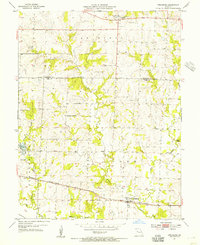 1954 Strasburg1955 Print · USGSMid-century Cass County comes to life in this survey of the Strasburg and Lonejack areas during the 1950s. Genealogists can locate several local burial grounds including Soldiers Cem and Sloan Cem, or trace the rail corridor of the Missouri Pacific.2 unique versions available
 - 1954 Map of Pleasant Hill, 1955 Print
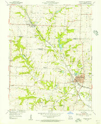 1954 Pleasant Hill1955 Print · USGSThe Cass County rail junction at Pleasant Hill is shown in the mid-fifties at a moment of transition for its rural school system. Genealogists and local historians can locate several decommissioned sites like Crossroads Sch alongside active landmarks like Union Cem and Loch Leonard.2 unique versions available
 - 1955 Map of Tarsney
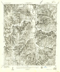 1955 Tarsney1955 Print · USGSJackson County rural life in the mid-1930s is preserved here, showing the drainage of the Sni A Bar Creek valley before extensive modern development. Genealogists and local historians can locate early landmarks like Hickory Grove Sch, Providence Ch, and the developing shoreline of Tarsney Lake.
 - 1956 Map of Lawrence, 1967 Print
 1956 Lawrence1967 Print · USGSEastern Kansas and the Missouri border country are captured here during the mid-century transition to the interstate era. Genealogists and local historians can trace family-named terrain like Summers Mound and the footprint of Sunflower Ordnance Works near Baldwin City.4 unique versions available
 - 1957 Map of Tarsney
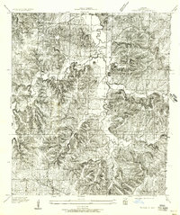 1957 Tarsney1957 Print · USGSJackson County in the mid-1930s shows a landscape of rural schools and winding creek valleys before post-war suburban expansion reached this far east. Genealogists and local historians can trace the locations of the Adams Sch, Providence Ch, and the Pleasant Prairie Cem.
 - 1957 Map of Woods Chapel, 1958 Print
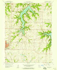 1957 Woods Chapel1958 Print · USGSJackson County is shown in a period of significant growth in the late fifties as suburban expansion met rural Missouri lakefronts. Researchers can trace family history at the Woods Chapel Cem or locate old school sites like Mason Sch and St Marys Sch.
 - 1961 Map of Lawrence
 1961 Lawrence1961 Print · USGSThe Kansas-Missouri borderland shows its mid-century transition from a rail-dependent agricultural region to a suburbanizing landscape. Genealogists can trace family footprints through numerous Cem sites and distinctive terrain landmarks like Graves Mound and Summers Mound.
 - 1963 Map of Lake Jacomo, 1964 Print
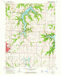 1963 Lake Jacomo1964 Print · USGSIn the early sixties, the eastern suburbs of Jackson County were taking shape around new reservoirs and established rail lines. Researchers can trace family sites and early infrastructure at Woods Chapel Cem, Prairie Lee Ch, and along the Missouri Pacific railroad.3 unique versions available
 - 1965 Map of Tarsney Lakes, 1966 Print
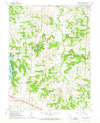 1965 Tarsney Lakes1966 Print · USGSEastern Jackson County during the mid-sixties shows a rural landscape transitioning toward modern development. Genealogists and local historians can trace family roots through numerous sites like Sni Mills, Purdue Chapel Cem, and Adams Cem.2 unique versions available
 - 1983 Map of Olathe, 1984 Print
 1983 Olathe1984 Print · USGSThe Kansas-Missouri borderlands hum with suburban growth and historic transit routes in the early eighties. Researchers can trace the Santa Fe Trail across a landscape featuring Richards-Gebaur Air Force Base and Hillsdale Lake.
 - 1990 Map of Pleasant Hill, 1995 Print
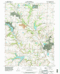 1990 Pleasant Hill1995 Print · USGSPleasant Hill and Greenwood are captured here at the start of the 1990s as these Missouri communities expanded across the county line. Researchers can locate Pleasant Hill Cemetery, the Landing Strip, and Gowdy.
 - 1990 Map of Lake Jacomo, 1995 Print
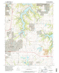 1990 Lake Jacomo1995 Print · USGSJackson County enters a period of significant suburban growth in the 1990s as recreation and aviation hubs expand. Trace the development of Lees Summit and Blue Springs alongside major water projects like Lake Jacomo and Lake Lotawana.
 - 1990 Map of Strasburg, 1996 Print
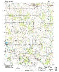 1990 Strasburg1996 Print · USGSThe borderlands of Jackson and Cass counties are captured here in the 1990s, centered on the grid of Strasburg and the rural reaches of Big Creek. Genealogists and local historians can locate Sloan Cem, Soldiers Cem, and water features like Baldwin Lake.
 - 1990 Map of Tarsney Lakes, 1996 Print
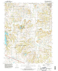 1990 Tarsney Lakes1996 Print · USGSEastern Jackson County is shown here in the 1990s, where the winding Sni-A-Bar Creek meets small settlements and sprawling county parks. Genealogists can locate family-named landmarks like Purdee Chapel Cem or trace the early footprint of Tarsney Lakes.
 - 1996 Map of Lake Jacomo, 2002 Print
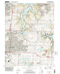 1996 Lake Jacomo2002 Print · USGSEastern Jackson County is shown during a period of rapid suburban growth in the late nineties. Researchers can trace development near Lees Summit and Blue Springs, or explore the many lakes within the James A Reed Memorial State Wildlife Area.
End of results
Showing maps 1-19 of 19
Top cities near Lake Lotawana
- Kansas City historical maps
- Independence historical maps
- Lee's Summit historical maps
- Blue Springs historical maps
- Raytown historical maps
- Raymore historical maps
See more
Frequently asked questions
- What are the different types of historical maps available for Lake Lotawana?
- What is the oldest map of Lake Lotawana?
- Where can I purchase historical maps of Lake Lotawana for my home or office?
- Where can I download high-res historical maps of Lake Lotawana?
- Are there historical topographic maps available for Lake Lotawana?
- Is there historical aerial imagery available for Lake Lotawana?
- Where are historical maps of Lake Lotawana sourced from?