Old Maps of Bordner Estates, Lee's Summit for Academic Research
Study the evolution of Bordner Estates with 17 high-resolution historic maps. Whether you're teaching, researching, or modeling changes in land use, these maps provide essential visual documentation of urban, environmental, and geographic change.
- Analyze long-term change: Track patterns in development, transportation, and natural features.
- Ideal for environmental or urban studies: Support academic projects with primary historical map data.
- Use in the classroom or lab: Educators and researchers rely on these maps to bring historical context to life.
These maps are a powerful tool for teaching, research, and visualizing how Bordner Estates has changed over the decades.
Bordner Estates, Lee's Summit maps
(17)- 1887 Map of Harrisonville
 1887 Harrisonville1887 Print · USGSMissouri's western borderlands are seen here during the rail boom of the late nineteenth century. Genealogists and historians can trace the early development of Harrisonville and Lees Summit, alongside smaller settlements like Lone Jack, Peculiar, and Garden City.
 - 1892 Map of Harrisonville, 1902 Print
 1892 Harrisonville1902 Print · USGSWestern Missouri comes into focus during the late nineteenth-century rail boom as new townships and post offices began to dot the prairie. Trace the development of early rail hubs like Harrisonville and Pleasant Hill or locate old community centers such as Chapel Hill and Daugherty (Eight Mile P. O.).2 unique versions available
 - 1894 Map of Harrisonville
 1894 Harrisonville1894 Print · USGSCass and Jackson counties come to life in the 1890s as a burgeoning rail network links remote prairie outposts. Genealogists can trace early homesteads and mail stops like Daugherty (Eight Mile P. O.), Peculiar, and Lone Jack.
 - 1934 Map of Woods Chapel
 1934 Woods Chapel1934 Print · USGSJackson County agriculture and river valley life are captured here in the mid-thirties, just as the region began to modernize. Researchers can trace rural school locations like Mason Sch and early lakeside developments at Lake Lotawana near the Little Blue River.2 unique versions available
 - 1947 Map of Lawrence, 1954 Print
 1947 Lawrence1954 Print · USGSEastern Kansas and western Missouri thrive in the late 1940s, showing a landscape defined by major river valleys and a dense railway network. Genealogists can trace family settlements from Lawrence to Greenwood and locate landmarks like Olathe Navy and Lake Lotawana.
 - 1950 Map of Lawrence
 1950 Lawrence1950 Print · USGSMid-century Kansas and Missouri come alive in this map of the river-valley corridors just as the interstate era was beginning. Researchers can trace the legacy of major rail lines like the Union Pacific RR and locate ancestral roots in towns from Lawrence to Harrisonville.
 - 1956 Map of Lawrence, 1967 Print
 1956 Lawrence1967 Print · USGSEastern Kansas and the Missouri border country are captured here during the mid-century transition to the interstate era. Genealogists and local historians can trace family-named terrain like Summers Mound and the footprint of Sunflower Ordnance Works near Baldwin City.4 unique versions available
 - 1957 Map of Woods Chapel, 1958 Print
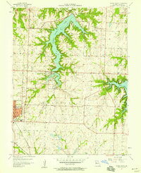 1957 Woods Chapel1958 Print · USGSJackson County is shown in a period of significant growth in the late fifties as suburban expansion met rural Missouri lakefronts. Researchers can trace family history at the Woods Chapel Cem or locate old school sites like Mason Sch and St Marys Sch.
 - 1961 Map of Lawrence
 1961 Lawrence1961 Print · USGSThe Kansas-Missouri borderland shows its mid-century transition from a rail-dependent agricultural region to a suburbanizing landscape. Genealogists can trace family footprints through numerous Cem sites and distinctive terrain landmarks like Graves Mound and Summers Mound.
 - 1963 Map of Lake Jacomo, 1964 Print
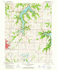 1963 Lake Jacomo1964 Print · USGSIn the early sixties, the eastern suburbs of Jackson County were taking shape around new reservoirs and established rail lines. Researchers can trace family sites and early infrastructure at Woods Chapel Cem, Prairie Lee Ch, and along the Missouri Pacific railroad.3 unique versions available
 - 1983 Map of Olathe, 1984 Print
 1983 Olathe1984 Print · USGSThe Kansas-Missouri borderlands hum with suburban growth and historic transit routes in the early eighties. Researchers can trace the Santa Fe Trail across a landscape featuring Richards-Gebaur Air Force Base and Hillsdale Lake.
 - 1990 Map of Lake Jacomo, 1995 Print
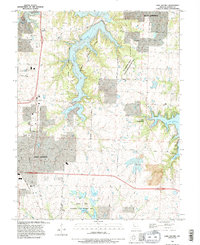 1990 Lake Jacomo1995 Print · USGSJackson County enters a period of significant suburban growth in the 1990s as recreation and aviation hubs expand. Trace the development of Lees Summit and Blue Springs alongside major water projects like Lake Jacomo and Lake Lotawana.
 - 1996 Map of Lake Jacomo, 2002 Print
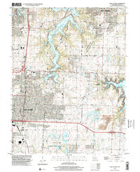 1996 Lake Jacomo2002 Print · USGSEastern Jackson County is shown during a period of rapid suburban growth in the late nineties. Researchers can trace development near Lees Summit and Blue Springs, or explore the many lakes within the James A Reed Memorial State Wildlife Area.
 - 2011 Map of Lake Jacomo, 2011 Print
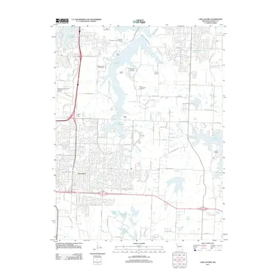 2011 Lake Jacomo2011 Print · USGSEastern Jackson County was a hub of recreation and suburban growth in the early 2010s. Genealogists and local historians can trace the development of Lees Summit and Lake Lotawana or locate family sites at Cowherd Cemetery and Lee's Summit Cemetery.
 - 2015 Map of Lake Jacomo, 2015 Print
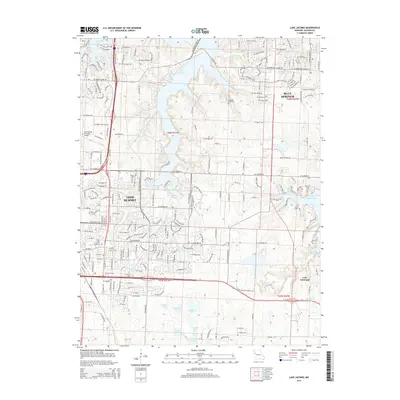 2015 Lake Jacomo2015 Print · USGSJackson County’s suburban and aquatic landscapes come together in this modern record of the Missouri heartland. Genealogists and local historians can trace the grounds of Lee's Summit Cemetery and Gowherd Cemetery near the shores of Lake Jacomo.
 - 2017 Map of Lake Jacomo, 2017 Print
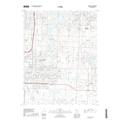 2017 Lake Jacomo2017 Print · USGSJackson County at the peak of its suburban growth is captured here, centered on the residential and recreational hubs of the late twenty-teens. Genealogists and local researchers can trace family plots at Lee's Summit Cem or locate the historic Cowherd Cem amidst the shores of Lake Jacomo.
 - 2021 Map of Lake Jacomo, 2021 Print
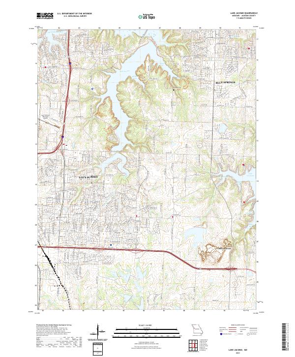 2021 Lake Jacomo2021 Print · USGSJackson County is defined by its expansive reservoirs and suburban growth in the early twenty-first century. Researchers can trace family history at Lee's Summit Cem or explore the detailed shorelines of Lake Jacomo and Lake Lotawana.
End of results
Showing maps 1-17 of 17
Frequently asked questions
- What are the different types of historical maps available for Bordner Estates?
- What is the oldest map of Bordner Estates?
- Where can I purchase historical maps of Bordner Estates for my home or office?
- Where can I download high-res historical maps of Bordner Estates?
- Are there historical topographic maps available for Bordner Estates?
- Is there historical aerial imagery available for Bordner Estates?
- Where are historical maps of Bordner Estates sourced from?