2010s Maps of Imperial Township, Missouri
Explore 15 historic maps of Imperial Township from the 2010s. These maps offer a rare glimpse into what life looked like during the 2010s — showing old roads, neighborhoods, homes, and landmarks that have changed or disappeared over time.
Whether you're researching your family's past, planning a metal detecting trip, or studying how Imperial Township's landscape evolved across the 2010s, these high-resolution maps are a powerful tool for exploring the history of this region.
- Focus on a specific era: All maps on this page are from the 2010s, giving you a focused view of this time period.
- See what’s changed: Compare century-old streets, trails, and buildings to today's modern landscape using overlays and satellite layers.
- Research with precision: Use these maps for genealogy, historical research, land use analysis, or educational projects.
- View, download, or print: Maps are fully viewable online in high resolution, and can be downloaded or printed for your own records.
Start exploring Imperial Township's history through authentic maps from the 2010s. This is your window into the past.
Imperial Township, MO maps
(15)- 2012 Map of Belews Creek, 2012 Print
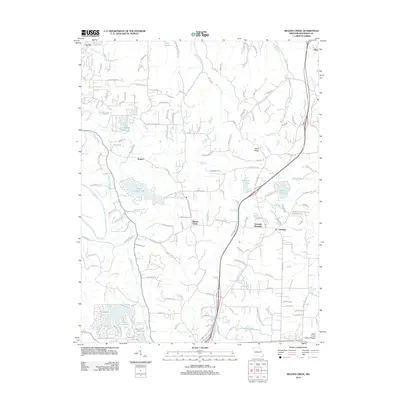 2012 Belews Creek2012 Print · USGSNorthern Jefferson County's creek valleys and private lake communities are well-established by the early twenty-first century. Researchers can trace the development of residential hubs like Granada Meadows and shoreline tracts around Lake Tishomingo and Lake Lorraine.
 - 2012 Map of Maxville, 2012 Print
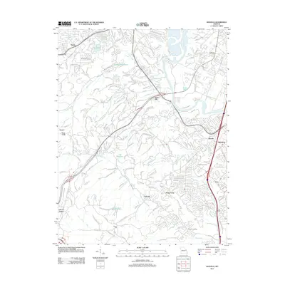 2012 Maxville2012 Print · USGSJefferson County residential growth meets the winding Meramec River in the early twenty-first century. Genealogists and historians can trace local family lineages at McCormack Cemetery or locate landmarks like Frisco Hill and Seckman.
 - 2012 Map of House Springs, 2012 Print
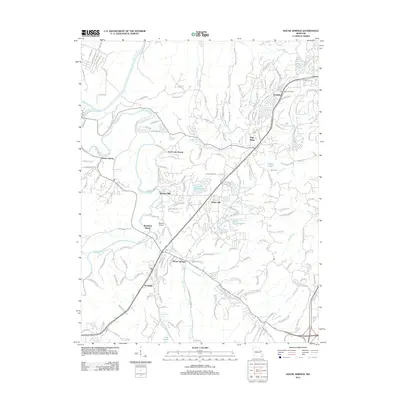 2012 House Springs2012 Print · USGSMissouri's suburban-rural transition is captured here in the early twenty-first century, centered on the Big River corridor. Researchers can locate specific family-named roads and landmarks like the High Ridge Post Office, Moders Airport, and the community of Byrnes Mill.
 - 2012 Map of Herculaneum, 2012 Print
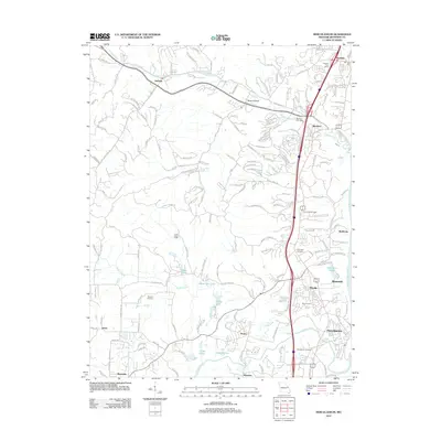 2012 Herculaneum2012 Print · USGSJefferson County’s riverfront and inland valleys are captured here a decade into the new millennium. Researchers can locate family landmarks like Mahlers Cemetery, the Imperial Post Office, and the historic transit route of Old Highway M.
 - 2012 Map of Valmeyer, 2012 Print
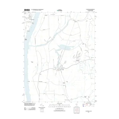 2012 Valmeyer2012 Print · USGSThe Illinois-Missouri borderlands along the Mississippi River are shown here in the early twenty-first century, just as local infrastructure and rural hamlets were evolving. Researchers can trace family history through Saint Johns Cem and explore the riverfront at Harrisonville Landing or Waters Point.
 - 2015 Map of House Springs, 2015 Print
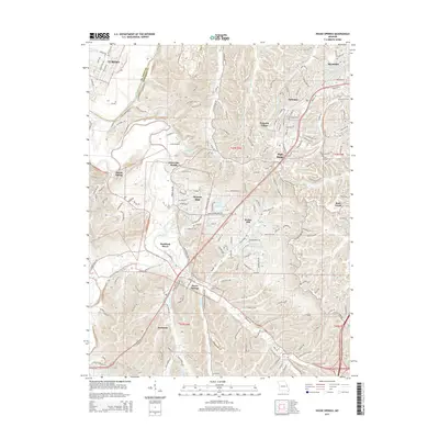 2015 House Springs2015 Print · USGSThe northern Jefferson County landscape and the outskirts of St. Louis are captured in 2015, showing a region of dense residential growth and river valley settlements. Genealogists and local historians can trace modern communities like House Springs and High Ridge or locate family-named features like Byrnes Mill and Hoene Spring.
 - 2015 Map of Maxville, 2015 Print
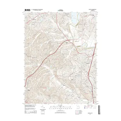 2015 Maxville2015 Print · USGSJefferson County residential growth and historical transit routes come together in this mid-2010s survey of the Arnold area. Family researchers can locate McCormack Cemetery and Saint Johns Cemetery or trace old corridors like Old Lemay Ferry Rd.
 - 2015 Map of Herculaneum, 2015 Print
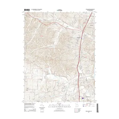 2015 Herculaneum2015 Print · USGSJefferson County's riverfront and rolling interior are captured in this mid-2010s study as the communities of the Interstate 55 corridor continued to expand. Researchers can locate numerous family and parish sites, from Assumption Cemetery in Herculaneum to the Mahlers Cemetery near Pevely.
 - 2015 Map of Belews Creek, 2015 Print
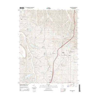 2015 Belews Creek2015 Print · USGSJefferson County at the turn of the millennium shows a landscape of growing residential communities centered around the area's many valleys and ridges. Researchers can trace the development of Hillsboro, the grounds of Jefferson College, and lakeside settlements like Lake Tishomingo and Regina.
 - 2015 Map of Valmeyer, 2015 Print
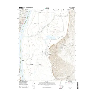 2015 Valmeyer2015 Print · USGSThe Mississippi River floodplain and the rising Illinois bluffs define this mid-2010s landscape on the state border. Genealogists can locate family burial sites at Saint Johns Cem, Eagle Cliff Cem, or Wallace Cem while tracing the rural road networks of Harrisonville and Valmeyer.
 - 2017 Map of House Springs, 2017 Print
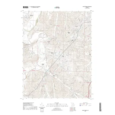 2017 House Springs2017 Print · USGSJefferson County in the late twenty-teens reveals a landscape of river-valley settlements and hilltop communities. Genealogists and local historians can trace the development of Byrnes Mill, House Springs, and the residential growth around Lake Montowese.
 - 2017 Map of Herculaneum, 2017 Print
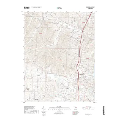 2017 Herculaneum2017 Print · USGSJefferson County south of St. Louis shows its river-town heritage and suburban growth during the mid-2010s. Genealogists and historians can trace old community centers and burial grounds, from Pevely and Herculaneum to Zion Lutheran Cem and Mahlers Cem.
 - 2017 Map of Maxville, 2017 Print
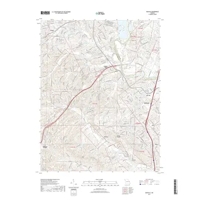 2017 Maxville2017 Print · USGSJefferson County south of the Meramec River shows a landscape of ridge-top developments and winding valley roads in this recent study. Researchers can trace local lineage through Saint Johns Cem or find old community centers like Maxville and Seckman.
 - 2017 Map of Belews Creek, 2017 Print
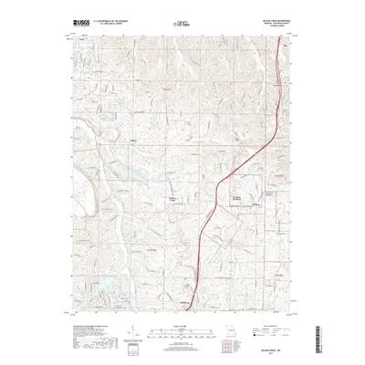 2017 Belews Creek2017 Print · USGSHillsboro and the surrounding residential lake communities are captured in detail during the late twenty-tens. Genealogists and local historians can trace family locations near Jefferson College, Goldman, and the various shores of Lake Tishomingo.
 - 2018 Map of Valmeyer, 2018 Print
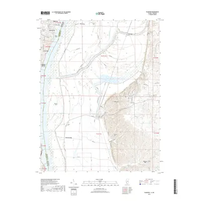 2018 Valmeyer2018 Print · USGSThe riverfront communities of the Mississippi valley appear in high detail during the late twenty-tens as the region balances industrial river access with rural preservation. Researchers can locate family heritage sites like Saint Johns Cem and Madonnaville Cem or trace the early paths of Harrisonville and Monroe City.
End of results
Showing maps 1-15 of 15
Top cities near Imperial Township
- Oakville historical maps
- Wildwood historical maps
- Ballwin historical maps
- Kirkwood historical maps
- Mehlville historical maps
- Webster Groves historical maps
See more
Top neighborhoods of Imperial Township
- Antonia historical maps
- Barnhart historical maps
- Seckman historical maps
- Spring Forest historical maps
- Otto historical maps
Frequently asked questions
- What are the different types of historical maps available for Imperial Township?
- What is the oldest map of Imperial Township?
- Where can I purchase historical maps of Imperial Township for my home or office?
- Where can I download high-res historical maps of Imperial Township?
- Are there historical topographic maps available for Imperial Township?
- Is there historical aerial imagery available for Imperial Township?
- Where are historical maps of Imperial Township sourced from?