2000s (21st Century) Maps of Barnhart, Imperial Township
Explore 10 historic maps of Barnhart from the 2000s (21st Century). These maps offer a rare glimpse into what life looked like during the 2000s — showing old roads, neighborhoods, homes, and landmarks that have changed or disappeared over time.
Whether you're researching your family's past, planning a metal detecting trip, or studying how Barnhart's landscape evolved across the 2000s, these high-resolution maps are a powerful tool for exploring the history of this region.
- Focus on a specific era: All maps on this page are from the 2000s, giving you a focused view of this time period.
- See what’s changed: Compare century-old streets, trails, and buildings to today's modern landscape using overlays and satellite layers.
- Research with precision: Use these maps for genealogy, historical research, land use analysis, or educational projects.
- View, download, or print: Maps are fully viewable online in high resolution, and can be downloaded or printed for your own records.
Start exploring Barnhart's history through authentic maps from the 2000s. This is your window into the past.
Barnhart, Imperial Township maps
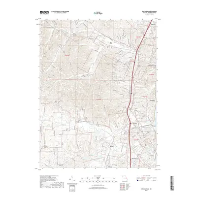
(10)- 2012 Map of Herculaneum, 2012 Print
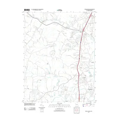 2012 Herculaneum2012 Print · USGSCovers Barnhart, including Pevely, Imperial, and other nearby areas
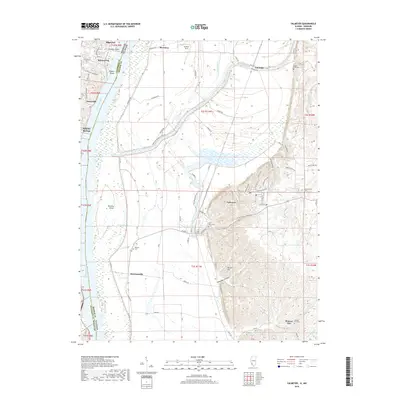
 - 2012 Map of Valmeyer, 2012 Print
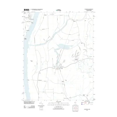 2012 Valmeyer2012 Print · USGSCovers Barnhart, including Pevely, Herculaneum, and other nearby areas
 - 2015 Map of Herculaneum, 2015 Print
 2015 Herculaneum2015 Print · USGSCovers Barnhart, including Pevely, Imperial, and other nearby areas
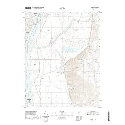
 - 2015 Map of Valmeyer, 2015 Print
 2015 Valmeyer2015 Print · USGSCovers Barnhart, including Pevely, Herculaneum, and other nearby areas
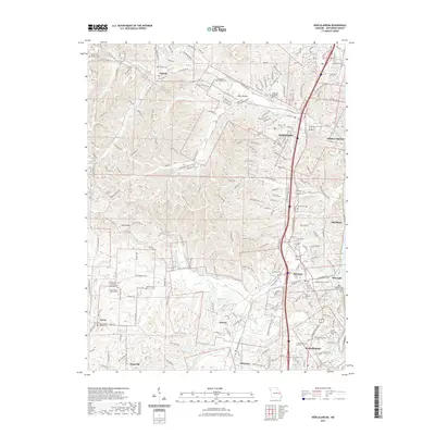
 - 2017 Map of Herculaneum, 2017 Print
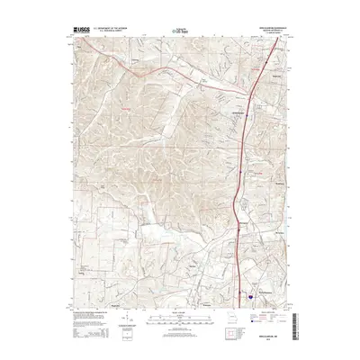
 2017 Herculaneum2017 Print · USGSCovers Barnhart, including Pevely, Imperial, and other nearby areas
 - 2018 Map of Valmeyer, 2018 Print
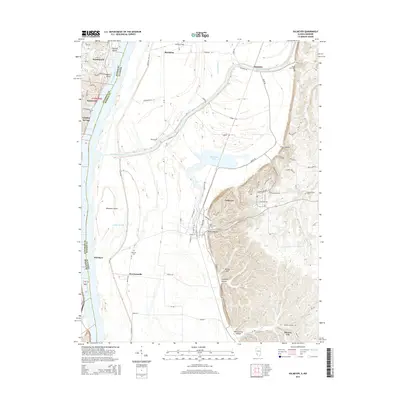
 2018 Valmeyer2018 Print · USGSCovers Barnhart, including Pevely, Herculaneum, and other nearby areas
 - 2021 Map of Valmeyer, 2021 Print
 2021 Valmeyer2021 Print · USGSCovers Barnhart, including Pevely, Herculaneum, and other nearby areas
 - 2021 Map of Herculaneum, 2021 Print
 2021 Herculaneum2021 Print · USGSCovers Barnhart, including Pevely, Imperial, and other nearby areas
 - 2023 Map of Herculaneum, 2023 Print
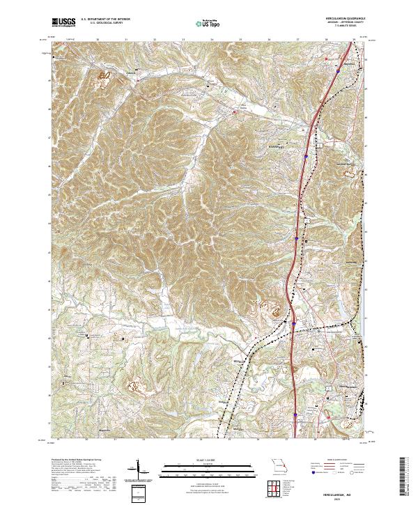 2023 Herculaneum2023 Print · USGSJefferson County settlements along the Mississippi corridor are captured here in their modern context. Researchers can trace family history through a wealth of local sites, from the Daniel Dunklin Grave Historic Site to the Kimmswick Cem and Mahlers Cem.
 - 2024 Map of Valmeyer, 2024 Print
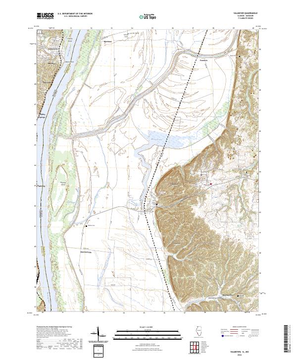 2024 Valmeyer2024 Print · USGSThe Illinois bluffs and Mississippi bottomlands meet in this modern look at a resilient river region. Genealogists can trace family landmarks like Wallace Cem and Saint Johns Cem, or explore the terrain of Potato Hill and Moredock Lake.
End of results
Showing maps 1-10 of 10
Top cities near Barnhart
- Oakville historical maps
- Wildwood historical maps
- Ballwin historical maps
- Kirkwood historical maps
- Mehlville historical maps
- Webster Groves historical maps
See more
Frequently asked questions
- What are the different types of historical maps available for Barnhart?
- What is the oldest map of Barnhart?
- Where can I purchase historical maps of Barnhart for my home or office?
- Where can I download high-res historical maps of Barnhart?
- Are there historical topographic maps available for Barnhart?
- Is there historical aerial imagery available for Barnhart?
- Where are historical maps of Barnhart sourced from?