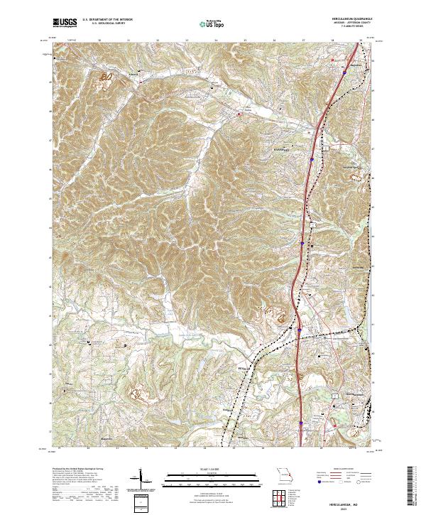
2023 Map of Herculaneum
USGS Topo · Published 2023About this map
Joachim Creek and Sandy Creek carve through this section of Jefferson County, defining a landscape where valley settlements like Pevely, Horine, and Herculaneum sit between rising ridges. This 2023 survey documents a modern infrastructure overlaying a deep network of early Missouri family and congregational history. Genealogists will find a high density of burial sites including the Daniel Dunklin Grave Historic Site and numerous denominational grounds such as the Saint Pauls Lutheran Cem and Assumption Catholic Cem. The map illustrates the transition from older corridors like Old Hwy 21 and Sulphur Springs Rd to contemporary transit patterns, while rural school locations like the McNutt School anchor the memory of smaller outlying communities like Munsons and Jarvis.
Find a feature on this map
64 named features on this map. Tap any name to fly to it.
Don’t see what you’re looking for? This feature index may not catch every label — zoom into the map to look around manually.
Map Details
Editions of this 2023 Herculaneum Map
This is the sole edition of this map. No revisions or reprints were ever made.
Other maps of this area

1901 · De Soto
USGS Topo · 1:125,000

1912 · Kimmswick
USGS Topo · 1:62,500

1915 · Crystal City
USGS Topo · 1:62,500

1916 · Kimmswick
USGS Topo · 1:62,500

1930 · De Soto NE
USGS Topo · 1:24,000

1930 · Pacific SE
USGS Topo · 1:24,000

1931 · Pacific NE
USGS Topo · 1:24,000

1948 · Kimmswick
USGS Topo · 1:62,500

1949 · Saint Louis
USGS Topo · 1:250,000

1949 · Crystal City
USGS Topo · 1:62,500