2000s (21st Century) Maps of Herculaneum, Missouri
Explore 18 historic maps of Herculaneum from the 2000s (21st Century). These maps offer a rare glimpse into what life looked like during the 2000s — showing old roads, neighborhoods, homes, and landmarks that have changed or disappeared over time.
Whether you're researching your family's past, planning a metal detecting trip, or studying how Herculaneum's landscape evolved across the 2000s, these high-resolution maps are a powerful tool for exploring the history of this region.
- Focus on a specific era: All maps on this page are from the 2000s, giving you a focused view of this time period.
- See what’s changed: Compare century-old streets, trails, and buildings to today's modern landscape using overlays and satellite layers.
- Research with precision: Use these maps for genealogy, historical research, land use analysis, or educational projects.
- View, download, or print: Maps are fully viewable online in high resolution, and can be downloaded or printed for your own records.
Start exploring Herculaneum's history through authentic maps from the 2000s. This is your window into the past.
Herculaneum, MO maps
(18)- 2012 Map of Festus, 2012 Print
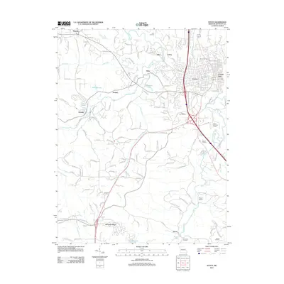 2012 Festus2012 Print · USGSFestus and Crystal City anchor this early twenty-first-century view of the Missouri landscape as it balances industrial heritage with modern suburban growth. Researchers can locate numerous local landmarks including Festus Memorial Airport, Hocum Hollow, and several burial sites like Sacred Heart Cemetery.
- 2012 Map of Selma, 2012 Print
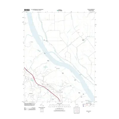 2012 Selma2012 Print · USGSThe Mississippi River corridor comes into sharp focus during the early 2010s, revealing a landscape of historic river landings and family cemeteries. Genealogists can trace deep local roots at Cook and Wagoner Cemetery, or locate old river points like Kemper Landing and Rush Tower.
- 2012 Map of Herculaneum, 2012 Print
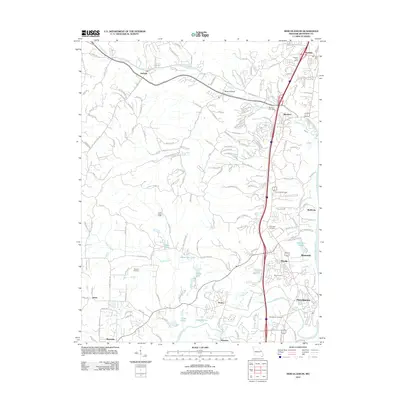 2012 Herculaneum2012 Print · USGSJefferson County’s riverfront and inland valleys are captured here a decade into the new millennium. Researchers can locate family landmarks like Mahlers Cemetery, the Imperial Post Office, and the historic transit route of Old Highway M.
- 2012 Map of Valmeyer, 2012 Print
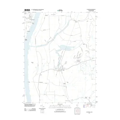 2012 Valmeyer2012 Print · USGSThe Illinois-Missouri borderlands along the Mississippi River are shown here in the early twenty-first century, just as local infrastructure and rural hamlets were evolving. Researchers can trace family history through Saint Johns Cem and explore the riverfront at Harrisonville Landing or Waters Point.
- 2015 Map of Festus, 2015 Print
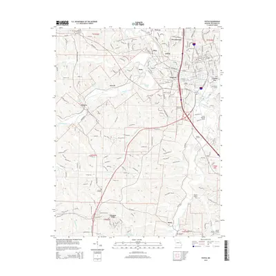 2015 Festus2015 Print · USGSFestus and Crystal City anchor this Missouri landscape in the mid-2010s, showing a well-established network of residential corridors and waterway junctions. Researchers can locate many burial sites such as Gamel Cemetery and Madison Cemetery or trace landmarks like Festus Memorial Airport.
- 2015 Map of Herculaneum, 2015 Print
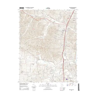 2015 Herculaneum2015 Print · USGSJefferson County's riverfront and rolling interior are captured in this mid-2010s study as the communities of the Interstate 55 corridor continued to expand. Researchers can locate numerous family and parish sites, from Assumption Cemetery in Herculaneum to the Mahlers Cemetery near Pevely.
- 2015 Map of Selma, 2015 Print
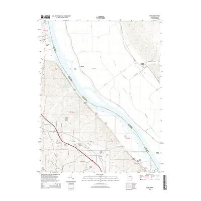 2015 Selma2015 Print · USGSThe bluffs and bottoms of the Mississippi River are captured here in 2015, highlighting the border between Jefferson and Monroe counties. Researchers can locate numerous family burial sites like Lucas Cemetery and Griffin Cemetery or trace landmarks like Cliffdale Hollow Natural Bridge.
- 2015 Map of Valmeyer, 2015 Print
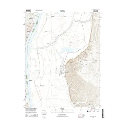 2015 Valmeyer2015 Print · USGSThe Mississippi River floodplain and the rising Illinois bluffs define this mid-2010s landscape on the state border. Genealogists can locate family burial sites at Saint Johns Cem, Eagle Cliff Cem, or Wallace Cem while tracing the rural road networks of Harrisonville and Valmeyer.
- 2017 Map of Selma, 2017 Print
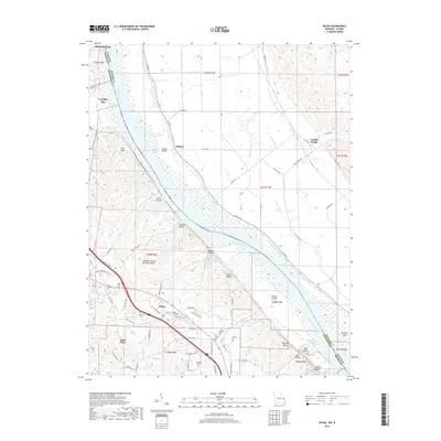 2017 Selma2017 Print · USGSThe Mississippi River corridor between Missouri and Illinois comes into sharp focus during this recent decade. Genealogists can trace family heritage through numerous burial sites like Barsotti Cem and Griffin Cem or explore landmarks like Cliffdale Hollow Natural Bridge.
- 2017 Map of Festus, 2017 Print
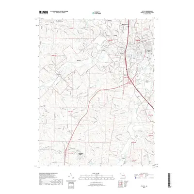 2017 Festus2017 Print · USGSFestus and Crystal City appear in detail on this modern survey of the Jefferson County landscape. Genealogists and local historians can trace family locations near Olympian Village, Hematite, and numerous rural burial sites like Sunnyside Cem and Madison Cem.
- 2017 Map of Herculaneum, 2017 Print
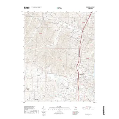 2017 Herculaneum2017 Print · USGSJefferson County south of St. Louis shows its river-town heritage and suburban growth during the mid-2010s. Genealogists and historians can trace old community centers and burial grounds, from Pevely and Herculaneum to Zion Lutheran Cem and Mahlers Cem.
- 2018 Map of Valmeyer, 2018 Print
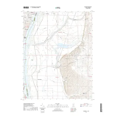 2018 Valmeyer2018 Print · USGSThe riverfront communities of the Mississippi valley appear in high detail during the late twenty-tens as the region balances industrial river access with rural preservation. Researchers can locate family heritage sites like Saint Johns Cem and Madonnaville Cem or trace the early paths of Harrisonville and Monroe City.
- 2021 Map of Valmeyer, 2021 Print
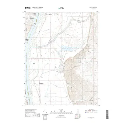 2021 Valmeyer2021 Print · USGSThe Mississippi River corridor near the Missouri-Illinois border is documented here in the early twenty-first century. Researchers can trace land tracts and local heritage near Valmeyer, Moredock Lake, and historic cemeteries like Eagle Cliff Cem.
- 2021 Map of Festus, 2021 Print
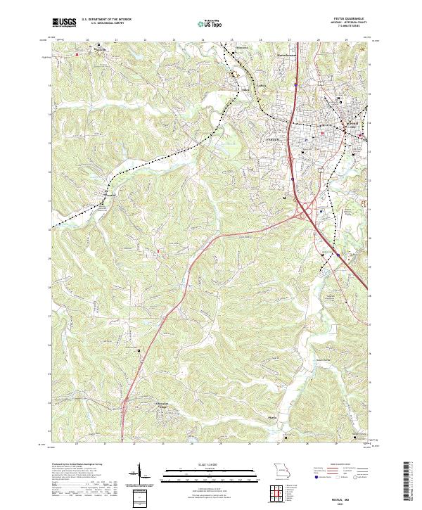 2021 Festus2021 Print · USGSThe interconnected river towns of Jefferson County are shown in the early 2020s as they sprawl across the Joachim and Plattin Creek valleys. Genealogists can trace family sites at Old Crystal City Cem, Telegraph Schoolhouse Cem, and the historic Hematite Christian Church Cem.
- 2021 Map of Selma, 2021 Print
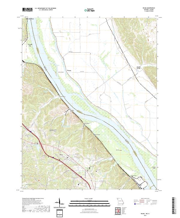 2021 Selma2021 Print · USGSThe bluffs of Jefferson County overlook the Mississippi River and the Illinois bottoms in the early 2020s. Genealogists can trace family names through numerous sites like Barsotti Cem, Wagoner Cem, and the Cliffdale Hollow Natural Bridge.
- 2021 Map of Herculaneum, 2021 Print
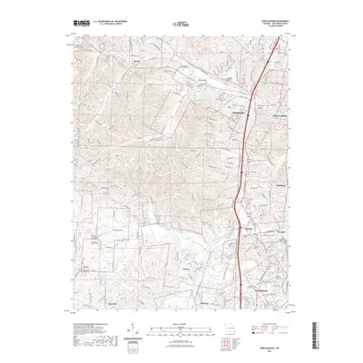 2021 Herculaneum2021 Print · USGSJefferson County settlements near the Mississippi River are shown here in modern detail. Researchers can locate numerous family and church burial grounds like Antonia Cem and the Daniel Dunklin Grave Historic Site alongside the banks of Joachim Creek.
- 2023 Map of Herculaneum, 2023 Print
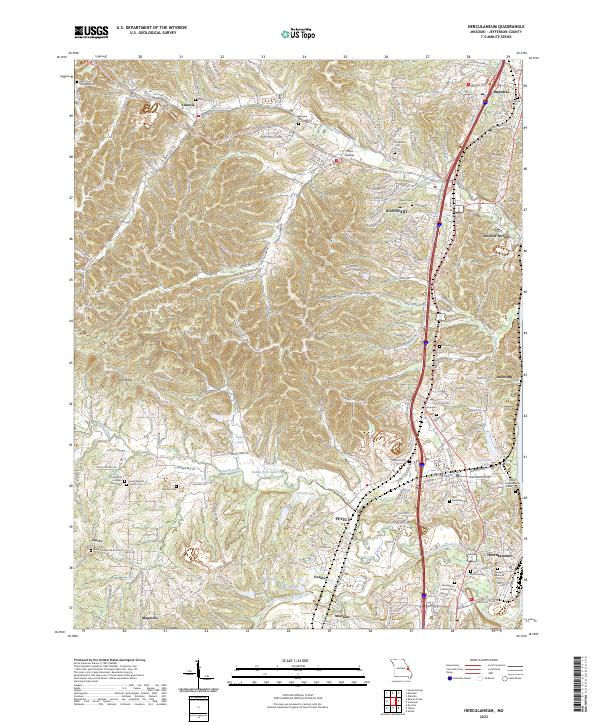 2023 Herculaneum2023 Print · USGSJefferson County settlements along the Mississippi corridor are captured here in their modern context. Researchers can trace family history through a wealth of local sites, from the Daniel Dunklin Grave Historic Site to the Kimmswick Cem and Mahlers Cem.
- 2024 Map of Valmeyer, 2024 Print
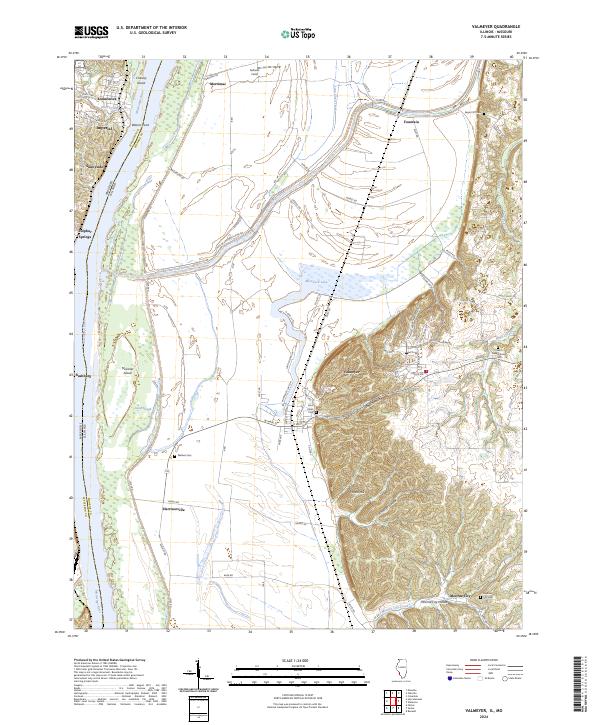 2024 Valmeyer2024 Print · USGSThe Illinois bluffs and Mississippi bottomlands meet in this modern look at a resilient river region. Genealogists can trace family landmarks like Wallace Cem and Saint Johns Cem, or explore the terrain of Potato Hill and Moredock Lake.
End of results
Showing maps 1-18 of 18
Top cities near Herculaneum
- Oakville historical maps
- Arnold historical maps
- Festus historical maps
- Eureka historical maps
- Columbia historical maps
- Waterloo historical maps
See more
Frequently asked questions
- What are the different types of historical maps available for Herculaneum?
- What is the oldest map of Herculaneum?
- Where can I purchase historical maps of Herculaneum for my home or office?
- Where can I download high-res historical maps of Herculaneum?
- Are there historical topographic maps available for Herculaneum?
- Is there historical aerial imagery available for Herculaneum?
- Where are historical maps of Herculaneum sourced from?