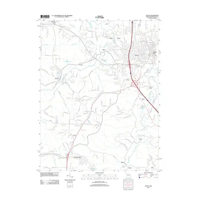
2012 Map of Festus
USGS Topo · Published 2012About this map
Festus and Crystal City serve as the primary hubs in this modern-era study of eastern Jefferson County, Missouri. The landscape is defined by the winding paths of Joachim Creek and Plattin Creek, which have historically influenced the development of surrounding communities like Silica, Ludwig, and Bailey. While the northern section of the map showcases the dense residential and industrial footprint of the Twin Cities, the southern reaches transition into a more dispersed settlement pattern including the rural enclave of Plattin and the planned residential layout of Olympian Village.
Find a feature on this map
151 named features on this map. Tap any name to fly to it.
Don’t see what you’re looking for? This feature index may not catch every label — zoom into the map to look around manually.
Map Details
Editions of this 2012 Festus Map
This is the sole edition of this map. No revisions or reprints were ever made.
Other maps of this area

1901 · De Soto
USGS Topo · 1:125,000

1912 · Kimmswick
USGS Topo · 1:62,500

1915 · Crystal City
USGS Topo · 1:62,500

1916 · Kimmswick
USGS Topo · 1:62,500

1930 · De Soto NE
USGS Topo · 1:24,000

1930 · Pacific SE
USGS Topo · 1:24,000

1931 · De Soto SE
USGS Topo · 1:24,000

1948 · Kimmswick
USGS Topo · 1:62,500

1949 · Saint Louis
USGS Topo · 1:250,000

1949 · Crystal City
USGS Topo · 1:62,500