Old Maps of Valle Township, Missouri for Metal Detecting
Plan your next treasure hunt with 49 historic maps of Valle Township. Find old homesites, ghost towns, trails, and gathering spots that may be lost to time — perfect for identifying promising metal detecting locations.
- Locate forgotten sites: Uncover places like long-lost settlements, abandoned rail lines, or gathering spots.
- Plan better hunts: Use map overlays combined with LiDAR or satellite views to narrow in on historically rich areas.
- Made for detectorists: Thousands of hobbyists use these maps to discover relics, coins, and hidden history.
Use these historic maps to boost your research and find new opportunities beneath the surface of Valle Township.
Valle Township, MO maps
(49)- 1901 Map of De Soto
 1901 De Soto1901 Print · USGSJefferson and Franklin Counties at the turn of the century show a landscape defined by industrial milling and river fords. Genealogists can trace early homesteads near Hillsboro or industrial sites like Vulcan Mine and Byrnes Mill.5 unique versions available
 - 1915 Map of Crystal City
 1915 Crystal City1915 Print · USGSThe Missouri-Illinois riverfront comes alive in this early 1900s survey of the industrial corridor between Crystal City and VALLES MINES. Researchers can trace the path of the St Louis and San Francisco railroad and locate old community centers like Rush Tower or the Telegraph School.4 unique versions available
 - 1930 Map of De Soto NE
 1930 De Soto NE1930 Print · USGSJefferson County settlement and rural education are captured in the early 1930s as the railroad and river networks shaped the valley. Genealogists can locate family landmarks like Peter Moore Sch and Buckie Sch near the Victoria and De Soto corridors.
 - 1931 Map of De Soto SE
 1931 De Soto SE1931 Print · USGSJefferson County was still a landscape of remote hill-country schools and river-valley railroads in the early thirties. Genealogists can trace family names and local landmarks like Mothershead Sch, the Joachim Cem, and the rail stop at Vineland.2 unique versions available
 - 1937 Map of Fletcher
 1937 Fletcher1937 Print · USGSJefferson and Washington counties in the 1930s were defined by the deep loops of the river and scattered rural settlements. Researchers can trace the location of family-named landmarks like McCain Cem, the community at Fletcher, and local schools such as Mammoth Sch.2 unique versions available
 - 1937 Map of Tiff, 1962 Print
 1937 Tiff1962 Print · USGSThe Missouri Ozarks are captured here in the late 1930s, showing a landscape of small mining outposts and river-valley settlements. Genealogists and historians can trace the foundations of Tiff, locate the Thunderbolt C C C Camp, and find rural landmarks like Cruise Mill.
 - 1938 Map of Fletcher
 1938 Fletcher1938 Print · USGSThe Big River loops through Jefferson County in the late 1930s, showing a landscape of small river towns and family farmsteads. Genealogists can trace local roots at McCain Cem, Maness Sch, and the settlements of Fletcher and Frumet.
 - 1939 Map of Tiff
 1939 Tiff1939 Print · USGSWashington County at the end of the Depression era shows a landscape of river-valley settlements and rural industry. Family researchers can locate the Cannon Mines, Cruise Mill, and early burial grounds like Masonic Cem and Pinson Cem.2 unique versions available
 - 1949 Map of Saint Louis
 1949 Saint Louis1949 Print · USGSGreater St. Louis and its surrounding river valleys are captured here just after the war, showing the metropolitan core and the rural Ozark fringe. Researchers can trace the sprawling rail network of the Wabash RR or locate landmarks like Meramec Caverns Airport and Scott Air Force Base.2 unique versions available
 - 1949 Map of Crystal City, 1959 Print
 1949 Crystal City1959 Print · USGSThe Mississippi River valley comes alive in the late 1940s, showing the industrial pulse of Festus and the rural reaches of Jefferson County. Genealogists can locate numerous vanished landmarks like the Telegraph School, Valle Mines, and the Rush Tower river landing.2 unique versions available
 - 1955 Map of De Soto NE
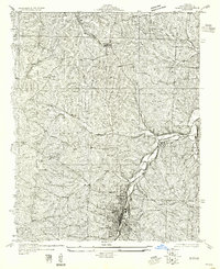 1955 De Soto NE1955 Print · USGSJefferson County's rural character is preserved here in the mid-1950s, showing the early infrastructure connecting local rail hubs. Family historians can locate a dense network of country schools like Buckie Sch and New Hope Sch along the banks of Joachim Creek.
 - 1955 Map of De Soto SE
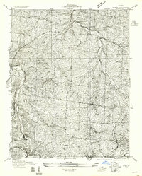 1955 De Soto SE1955 Print · USGSJefferson and St. Francois counties in the early thirties reveal a landscape of ridge-top schools and river-valley railroads. Genealogists can trace family names at Joachim Cem or locate the old Tunnel Sta and Silver Springs Sta along the rail lines.
 - 1958 Map of De Soto NE
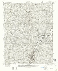 1958 De Soto NE1958 Print · USGSJefferson County during the early twentieth century shows a landscape defined by rail and creek valleys. Genealogists and local historians can trace the foundations of Festus and Hematite or locate rural landmarks like Haverstick Sch and the Missouri Pacific line.
 - 1960 Map of De Soto, 1961 Print
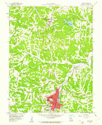 1960 De Soto1961 Print · USGSJefferson County was a landscape of winding creek valleys and rail-fed towns in the early sixties. Genealogists can trace family roots through several sites including Good Shepherd Cem, Victoria, and the campus of Mt St Clements College.2 unique versions available
 - 1960 Map of Vineland, 1961 Print
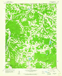 1960 Vineland1961 Print · USGSJefferson and St. Francois counties are shown here in the early sixties, as rural life centered around the Big River and the Missouri Pacific line. Researchers can trace family history through sites like Moontown Cem, the Sunrise Sch, and Valles Mines.2 unique versions available
 - 1962 Map of St. Louis
 1962 St. Louis1962 Print · USGSThe mid-century gateway to the west shows the metropolitan expansion of St Louis alongside its critical river confluences. Genealogists and historians can trace the rail corridors of the Missouri Pacific RR and settlements from Fulton to De Soto.
 - 1963 Map of St. Louis, 1970 Print
 1963 St. Louis1970 Print · USGSSt. Louis and its surrounding river valleys are captured here during the peak of mid-century suburban expansion and industrial activity. Trace the historic rail routes of the Norfolk and Western Ry or locate the St Louis Ordnance Plant and early stretches of US Highway 66.4 unique versions available
 - 1964 Map of Halifax, 1965 Print
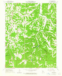 1964 Halifax1965 Print · USGSJefferson and St. Francois counties are captured in the mid-1960s as the local landscape transitions between historic mining and quiet rural life. Genealogists can trace family connections at the German Ch Cem, Byrd Cem, and the settlement at Valles Mines.2 unique versions available
 - 1964 Map of Festus, 1965 Print
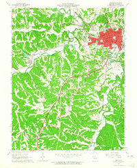 1964 Festus1965 Print · USGSJefferson County industrial and rail hubs are caught in detail during the mid-1960s. Researchers can trace family roots through sites like Rose Lawn Cem, Old Plattin Ch, and the streets of Festus and Crystal City.2 unique versions available
 - 1966 Map of St. Louis
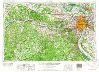 1966 St. Louis1966 Print · USGSThe St. Louis metropolitan area and its surrounding river valleys are captured here during the mid-sixties era of suburban growth and industrial strength. Genealogists and historians can trace the foundations of local communities through sites like Old Pioneer Cem, Parks College, and the Jefferson Barracks Military Reservation.
 - 1981 Map of Fletcher, 1982 Print
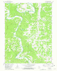 1981 Fletcher1982 Print · USGSJefferson County in the late seventies and early eighties was a landscape of river bends and rural crossroads. Local historians can trace family roots at McCain Cem, locate the site of Grandview Sch, or study the river crossings at Browns Ford Road.
 - 1981 Map of Vineland, 1982 Print
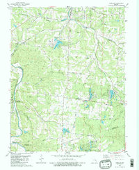 1981 Vineland1982 Print · USGSSoutheastern Missouri in the early eighties shows a unique landscape of mineral wealth and new residential lakes. Trace local family history at Valles Mines or follow the Missouri Pacific Railroad past Blackwell and Vineland.2 unique versions available
 - 1981 Map of Tiff, 1982 Print
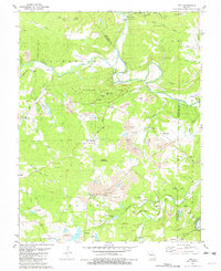 1981 Tiff1982 Print · USGSNear the confluence of the Big River and Mineral Fork in the early eighties, this survey captures a landscape of intense mineral extraction and rural community. Genealogists and local historians can locate several family cemeteries and old school sites like Cruise Sch, St Joseph Cem, and Cannon Mines.
 - 1981 Map of De Soto, 1982 Print
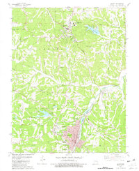 1981 De Soto1982 Print · USGSJefferson County’s landscape in the early eighties is captured here as the railroad town of De Soto and the hilltop county seat of Hillsboro expand. Genealogists and historians can trace family roots at Woodlawn Mem Park, the settlement at Victoria, and the Lone Pilgrim Ch.
 - 1985 Map of Festus, 1987 Print
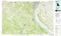 1985 Festus1987 Print · USGSThe Mississippi River corridor and Ozark foothills appear here in the mid-1980s, documenting a landscape of industrial river towns and forest preserves. Trace the development of Festus, Crystal City, and De Soto or locate sites like Mastodon State Park.
Showing maps 1-25 of 49
Top cities near Valle Township
- Festus historical maps
- Park Hills historical maps
- Bonne Terre historical maps
- De Soto historical maps
- Pevely historical maps
- Desloge historical maps
See more
Top neighborhoods of Valle Township
- Summer Set historical maps
- Vineland historical maps
- Valles Mines historical maps
- Melzo historical maps
- De Soto historical maps
Frequently asked questions
- What are the different types of historical maps available for Valle Township?
- What is the oldest map of Valle Township?
- Where can I purchase historical maps of Valle Township for my home or office?
- Where can I download high-res historical maps of Valle Township?
- Are there historical topographic maps available for Valle Township?
- Is there historical aerial imagery available for Valle Township?
- Where are historical maps of Valle Township sourced from?