2000s (21st Century) Maps of Whiteman AFB, Missouri
Explore 8 historic maps of Whiteman AFB from the 2000s (21st Century). These maps offer a rare glimpse into what life looked like during the 2000s — showing old roads, neighborhoods, homes, and landmarks that have changed or disappeared over time.
Whether you're researching your family's past, planning a metal detecting trip, or studying how Whiteman AFB's landscape evolved across the 2000s, these high-resolution maps are a powerful tool for exploring the history of this region.
- Focus on a specific era: All maps on this page are from the 2000s, giving you a focused view of this time period.
- See what’s changed: Compare century-old streets, trails, and buildings to today's modern landscape using overlays and satellite layers.
- Research with precision: Use these maps for genealogy, historical research, land use analysis, or educational projects.
- View, download, or print: Maps are fully viewable online in high resolution, and can be downloaded or printed for your own records.
Start exploring Whiteman AFB's history through authentic maps from the 2000s. This is your window into the past.
Whiteman AFB, MO maps
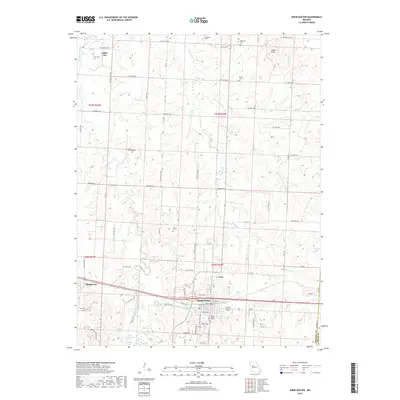
(8)- 2011 Map of Burtville, 2011 Print
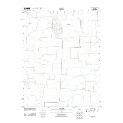 2011 Burtville2011 Print · USGSCovers Whiteman AFB, including Knob Noster, Burtville, and other nearby areas
 - 2011 Map of Knob Noster, 2011 Print
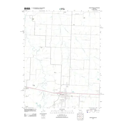 2011 Knob Noster2011 Print · USGSCovers Whiteman AFB, including Knob Noster, Valley City, and other nearby areas
 - 2014 Map of Knob Noster, 2014 Print
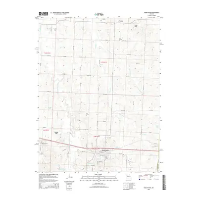 2014 Knob Noster2014 Print · USGSCovers Whiteman AFB, including Knob Noster, Valley City, and other nearby areas
 - 2015 Map of Burtville, 2015 Print
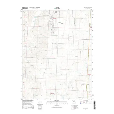 2015 Burtville2015 Print · USGSCovers Whiteman AFB, including Knob Noster, Burtville, and other nearby areas
 - 2017 Map of Knob Noster, 2017 Print
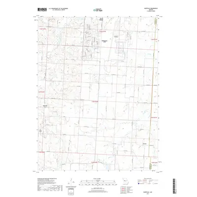
 2017 Knob Noster2017 Print · USGSCovers Whiteman AFB, including Knob Noster, Valley City, and other nearby areas
 - 2017 Map of Burtville, 2017 Print
 2017 Burtville2017 Print · USGSCovers Whiteman AFB, including Knob Noster, Burtville, and other nearby areas
 - 2021 Map of Burtville, 2021 Print
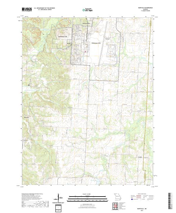 2021 Burtville2021 Print · USGSJohnson County is shown during a period of modern military and agricultural significance, centered on the expansion of Whiteman AFB. Researchers can trace local landmarks like Shirley Lake, the rural hub of Burtville, and the Lake Sexton Airport.
 - 2021 Map of Knob Noster, 2021 Print
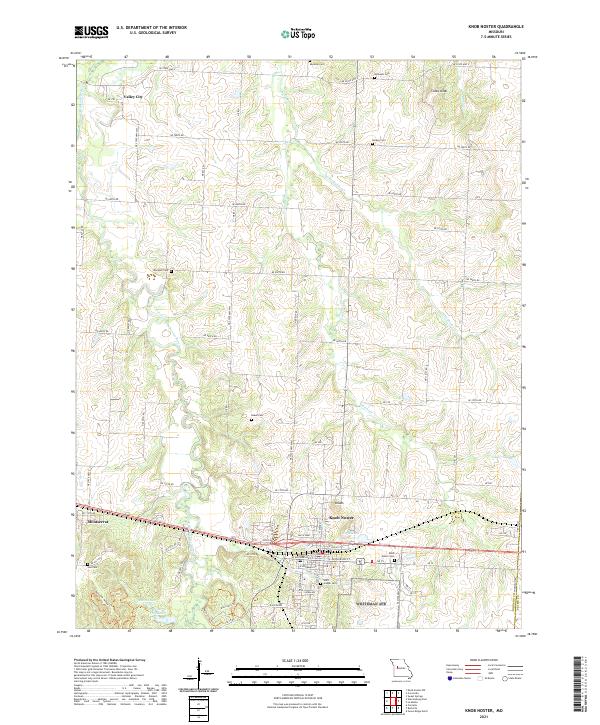 2021 Knob Noster2021 Print · USGSThis Johnson County landscape in the early 2020s shows the enduring settlements of Knob Noster and Montserrat amidst a network of creek drainages. Researchers can locate numerous family burial grounds including Lee Cem, Rothwell Cem, and Marshall Cem along the rural routes.
End of results
Showing maps 1-8 of 8
Top cities near Whiteman AFB
- Warrensburg historical maps
- Windsor historical maps
- Knob Noster historical maps
- Sweet Springs historical maps
- La Monte historical maps
- Leeton historical maps
See more
Frequently asked questions
- What are the different types of historical maps available for Whiteman AFB?
- What is the oldest map of Whiteman AFB?
- Where can I purchase historical maps of Whiteman AFB for my home or office?
- Where can I download high-res historical maps of Whiteman AFB?
- Are there historical topographic maps available for Whiteman AFB?
- Is there historical aerial imagery available for Whiteman AFB?
- Where are historical maps of Whiteman AFB sourced from?