Old Maps of Origanna, Missouri for Hiking & Exploration
Hike through history with 10 historic maps of Origanna. Explore old trails, ghost towns, and forgotten backroads — perfect for outdoor adventurers and local explorers.
- Rediscover forgotten places: Map out old mining camps, roads, and footpaths that no longer exist on modern maps.
- Layer with modern tools: Combine with LiDAR or satellite views to plan hikes through historical terrain.
- Made for exploration: Popular among hikers, overlanders, and local history lovers.
Use these maps to find adventure and explore the hidden past of Origanna.
Origanna, MO maps
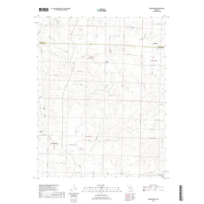
(10)- 1954 Map of Springfield
 1954 Springfield1954 Print · USGSThe Missouri Ozarks are captured here during the post-war era, showing the expansion of Springfield and the surrounding river valleys. Genealogists and historians can trace local landmarks like Mount Comfort Cemetery and the Fort Leonard Wood military grounds.6 unique versions available
 - 1956 Map of Grovespring, 1957 Print
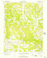 1956 Grovespring1957 Print · USGSThe rural border of Laclede and Wright counties is captured here in the mid-fifties, showing a landscape of small townships and hollows. Researchers can trace family sites like Bramhall Cem, Origanna, and several country schools including Smittle Sch.2 unique versions available
 - 1958 Map of Springfield
 1958 Springfield1958 Print · USGSThe Missouri Ozarks are captured during the mid-century era of growth, centered on the bustling hub of Springfield. Genealogists and historians can trace family roots through numerous landmarks like Ebenezer Church, Stockton Cem, and the various county courthouses.
 - 1959 Map of Springfield
 1959 Springfield1959 Print · USGSThe Missouri Ozarks are captured here during a decade of postwar growth and increasing highway connectivity. Researchers can trace the legacy of the St Louis-San Francisco RR and locate early sites in Springfield, Lebanon, and Mountain Grove.
 - 1977 Map of Grovespring
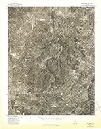 1977 Grovespring1977 Print · USGSThe rural landscapes of Wright County are captured in this mid-seventies aerial survey. Genealogists and local historians can trace the development of small-town Grovespring and examine the distribution of homesteads across the local farm country.
 - 1983 Map of Mountain Grove
 1983 Mountain Grove1983 Print · USGSWright and Webster counties in the early 1980s show a traditional Ozark landscape of ridge-running railroads and river headwaters. You can trace the Burlington Northern Railroad through towns like Mansfield or find rural landmarks like Vance Cem and Mt Zion Church.
 - 2011 Map of Grovespring, 2011 Print
 2011 Grovespring2011 Print · USGSCovers Origanna, including Durbin, Smittle, and other nearby areas
 - 2015 Map of Grovespring, 2015 Print
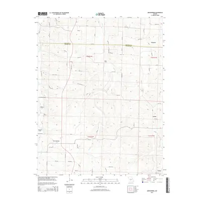 2015 Grovespring2015 Print · USGSCovers Origanna, including Durbin, Smittle, and other nearby areas
 - 2017 Map of Grovespring, 2017 Print
 2017 Grovespring2017 Print · USGSCovers Origanna, including Durbin, Smittle, and other nearby areas
 - 2021 Map of Grovespring, 2021 Print
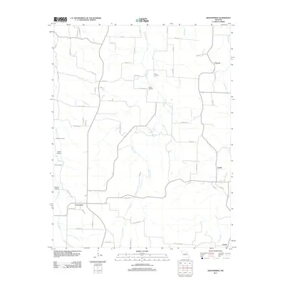
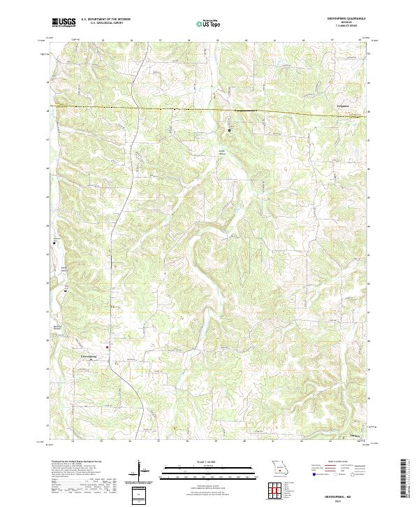 2021 Grovespring2021 Print · USGSThe rural landscapes of Wright and Laclede Counties come into focus in this recent survey. Local historians can trace the drainages of the Born River and Steins Cr to find family landmarks like Davis Cem and the settlement at Origanna.
End of results
Showing maps 1-10 of 10
Top cities near Origanna
- Lebanon historical maps
- Hartville historical maps
- Evergreen historical maps
- Caffeyville historical maps
Frequently asked questions
- What are the different types of historical maps available for Origanna?
- What is the oldest map of Origanna?
- Where can I purchase historical maps of Origanna for my home or office?
- Where can I download high-res historical maps of Origanna?
- Are there historical topographic maps available for Origanna?
- Is there historical aerial imagery available for Origanna?
- Where are historical maps of Origanna sourced from?