Old Maps of Southard, Missouri for Metal Detecting
Plan your next treasure hunt with 12 historic maps of Southard. Find old homesites, ghost towns, trails, and gathering spots that may be lost to time — perfect for identifying promising metal detecting locations.
- Locate forgotten sites: Uncover places like long-lost settlements, abandoned rail lines, or gathering spots.
- Plan better hunts: Use map overlays combined with LiDAR or satellite views to narrow in on historically rich areas.
- Made for detectorists: Thousands of hobbyists use these maps to discover relics, coins, and hidden history.
Use these historic maps to boost your research and find new opportunities beneath the surface of Southard.
Southard, MO maps
(12)- 1943 Map of Drynob
 1943 Drynob1943 Print · USGSThe Ozark plateau of Laclede County is captured here in the early 1940s, just as the nearby military presence began to reshape the landscape. Genealogists and historians can trace numerous rural schools like Stockdale Sch and family cemeteries such as Similin Cem and Nicks Cem.3 unique versions available
 - 1954 Map of Springfield
 1954 Springfield1954 Print · USGSThe Missouri Ozarks are captured here during the post-war era, showing the expansion of Springfield and the surrounding river valleys. Genealogists and historians can trace local landmarks like Mount Comfort Cemetery and the Fort Leonard Wood military grounds.6 unique versions available
 - 1954 Map of Drynob, 1958 Print
 1954 Drynob1958 Print · USGSThe rural hills of Laclede County are captured here in the mid-fifties as many one-room schoolhouses were beginning to close. You can trace early Ozark river crossings at Hall Ford Bridge or locate family sites like the Stewart Cemetery and Mt Pleasant Church.2 unique versions available
 - 1954 Map of Winnipeg, 1959 Print
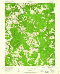 1954 Winnipeg1959 Print · USGSLaclede and Texas Counties are documented here in the mid-1950s, showing the rural communities and forest lands along the Gasconade River. Researchers can locate family landmarks like the Winnipeg Cem and multiple local schools, including several noted as abandoned like the Morehouse School.2 unique versions available
 - 1958 Map of Springfield
 1958 Springfield1958 Print · USGSThe Missouri Ozarks are captured during the mid-century era of growth, centered on the bustling hub of Springfield. Genealogists and historians can trace family roots through numerous landmarks like Ebenezer Church, Stockton Cem, and the various county courthouses.
 - 1959 Map of Springfield
 1959 Springfield1959 Print · USGSThe Missouri Ozarks are captured here during a decade of postwar growth and increasing highway connectivity. Researchers can trace the legacy of the St Louis-San Francisco RR and locate early sites in Springfield, Lebanon, and Mountain Grove.
 - 1982 Map of Lebanon, 1983 Print
 1982 Lebanon1983 Print · USGSThe Missouri Ozarks are captured in the early eighties as Interstate 44 and the St Louis-San Francisco rail line link growing towns with the Fort Leonard Wood Military Reservation. Genealogists and historians can trace family-named sites like Flatwood Church and old post offices at Sleeper and Nebo.
 - 2004 Map of Winnipeg, 2006 Print
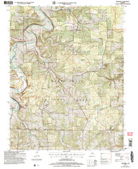 2004 Winnipeg2006 Print · USGSLaclede County at the turn of the millennium shows a landscape shaped by the Gasconade River and the sprawling Mark Twain National Forest. Genealogists and local historians can trace former community hubs through sites like Nebo Sch (Site) and the Winnipeg Cem.
 - 2012 Map of Winnipeg, 2012 Print
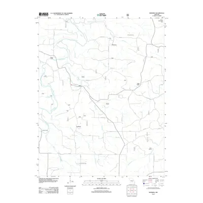 2012 Winnipeg2012 Print · USGSLaclede County, Missouri, is shown here as it appeared in the early 2010s, defined by the winding Gasconade River and rural Ozark hill country. Local historians can trace the foundations of the community at the Pine Creek Post Office and family burial sites like Casey Cemetery or Winnipeg Cemetery.
 - 2015 Map of Winnipeg, 2015 Print
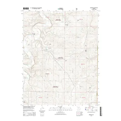 2015 Winnipeg2015 Print · USGSThis Laclede County landscape in the early twenty-first century reveals a deeply rooted rural Missouri community centered on the Gasconade River. Researchers can trace local lineage through several burial grounds like Chatham Cemetery or find historic crossings at Casey Ford and Dougan Bridge.
 - 2017 Map of Winnipeg, 2017 Print
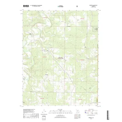 2017 Winnipeg2017 Print · USGSLaclede County in the mid-2010s shows a landscape defined by the winding Gasconade River and the quiet reaches of the Mark Twain National Forest. Genealogists can trace family roots at Winnipeg Cem and McGinnis Cem, or locate historic crossings like Dougan Bridge.
 - 2021 Map of Winnipeg, 2021 Print
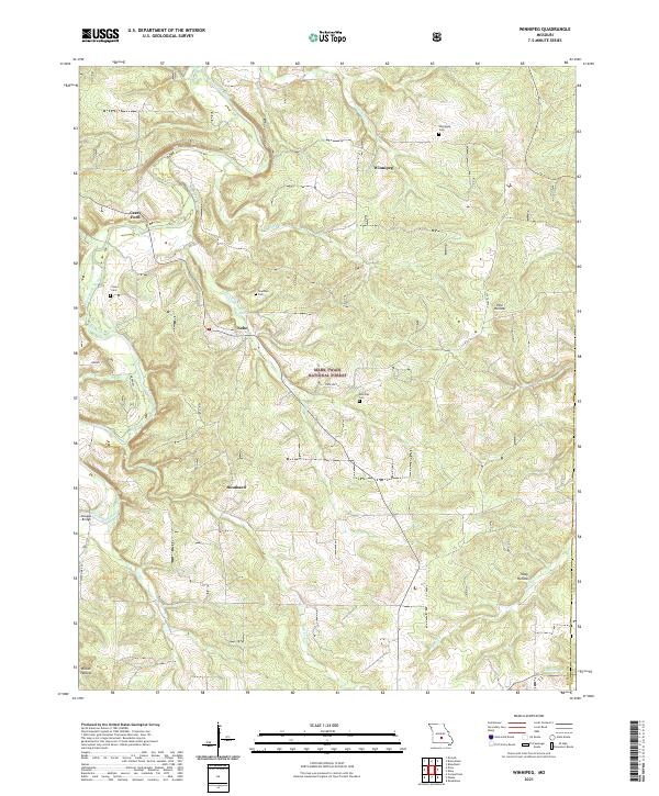 2021 Winnipeg2021 Print · USGSThe Gasconade River valley in southern Missouri remained a landscape of isolated hill settlements and clear Ozark creeks into the early 2020s. Researchers can trace family history at Winnipeg Cem or locate the historic river crossings at Casey Ford and Dougan Bridge.
End of results
Showing maps 1-12 of 12
Top cities near Southard
Frequently asked questions
- What are the different types of historical maps available for Southard?
- What is the oldest map of Southard?
- Where can I purchase historical maps of Southard for my home or office?
- Where can I download high-res historical maps of Southard?
- Are there historical topographic maps available for Southard?
- Is there historical aerial imagery available for Southard?
- Where are historical maps of Southard sourced from?