
1943 Map of Drynob
USGS Topo · Published 1943About this map
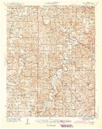
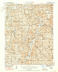
Gasconade River and Roubidoux Creek dominate this central Missouri landscape, carving deep, winding paths through the Ozark terrain of Laclede and surrounding counties. This early 1940s survey reveals a landscape defined by river crossings and rural commerce, where Marrill Ford and Adam Ford served travelers before the widespread construction of bridges. The map illustrates a dense network of local social centers, including Bellefonte Sch and Harmony Sch, alongside distinctive landmarks like the Airway Beacon near Abo.
Find a feature on this map
80 named features on this map. Tap any name to fly to it.
Don’t see what you’re looking for? This feature index may not catch every label — zoom into the map to look around manually.
Map Details
Editions of this 1943 Drynob Map
3 editions found
Other maps of this area

1931 · Manes
USGS Topo · 1:48,000

1933 · Stoutland
USGS Topo · 1:62,500

1936 · Waynesville
USGS Topo · 1:48,000

1938 · Stoutland
USGS Topo · 1:62,500

1941 · Big Piney
USGS Topo · 1:62,500

1941 · Manes
USGS Topo · 1:62,500

1941 · Lebanon
USGS Topo · 1:62,500

1941 · Bado
USGS Topo · 1:62,500

1942 · Waynesville
USGS Topo · 1:62,500

1943 · Richland
USGS Topo · 1:62,500