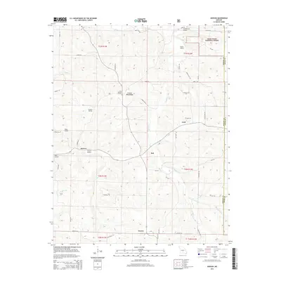
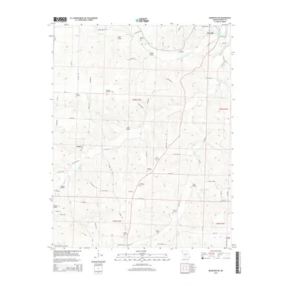
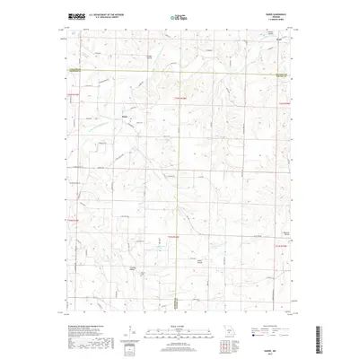
1931 Map of Manes
USGS Topo · Published 1931About this map
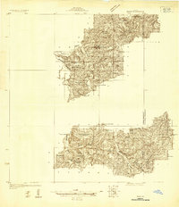
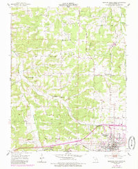
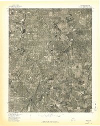
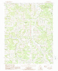
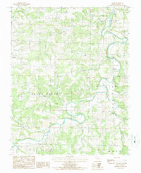
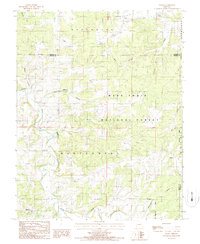
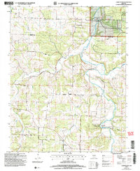
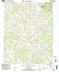
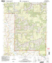
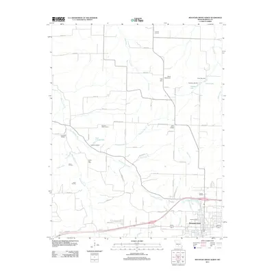
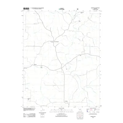
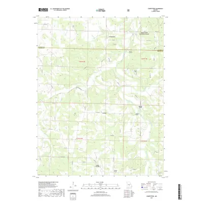
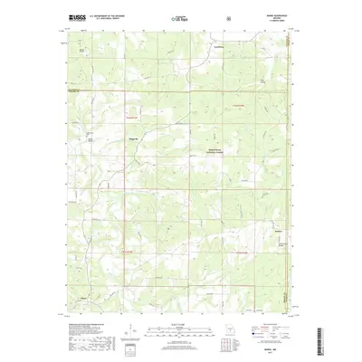
The Ozark plateau along the border of Wright County and Texas County is captured here during a period of localized rural self-sufficiency in the early 1930s. The landscape is defined by the winding course of the Gasconade River and its many tributaries, including Beaver Creek and Roubidoux Creek. This detailed terrain mapping reveals a dense network of country schools that served isolated farming communities, with names like Lone Star Sch, Montgomery Sch, and Hopkins Sch punctuating the ridges and valleys. Small river-based industries are still evident at Grimes Mill and Lathams Mill, while local spiritual life centered on gathering places like Evening Shade Ch and Union Chapel. Small settlements such as Manes, Lynchburg, and Graff acted as the primary nodes for this rugged interior region before modern highway consolidation.
Find a feature on this map
33 named features on this map. Tap any name to fly to it.
Don’t see what you’re looking for? This feature index may not catch every label — zoom into the map to look around manually.
Map Details
Editions of this 1931 Manes Map
This is the sole edition of this map. No revisions or reprints were ever made.
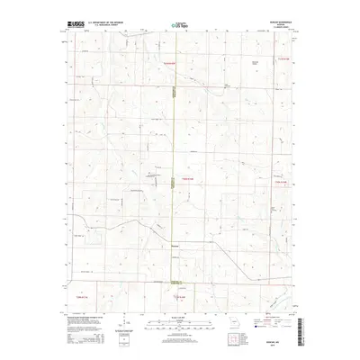
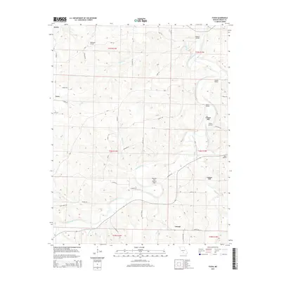
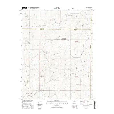
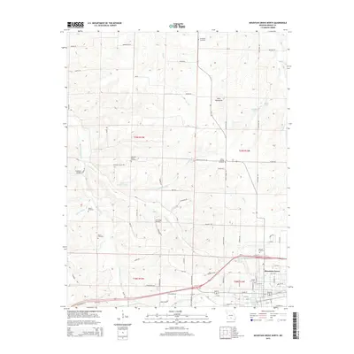
Historical Maps of Lynchburg Through Time
55 maps found
1931 Manes
Wright County, MO
1941 Manes
Wright County, MO
1943 Manes
Wright County, MO
1951 Mansfield NE
Wright County, MO
1951 Mountain Grove North
Wright County, MO
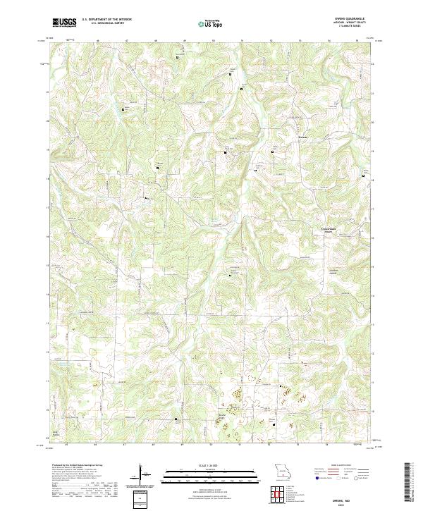
1951 Owens
Wright County, MO
1956 Duncan
Wright County, MO
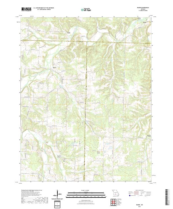
1956 Rader
Wright County, MO
1977 Duncan
Wright County, MO
1977 Mansfield NE
Wright County, MO
1977 Owens
Wright County, MO
1977 Rader
Wright County, MO

1987 Competition
Wright County, MO
1987 Dawson
Wright County, MO
1987 Fuson
Wright County, MO
1987 Manes
Wright County, MO
2004 Competition
Wright County, MO
2004 Dawson
Wright County, MO
2004 Manes
Wright County, MO
2011 Fuson
Wright County, MO
2011 Mansfield NE
Wright County, MO
2011 Mountain Grove North
Wright County, MO
2011 Owens
Wright County, MO
2011 Rader
Wright County, MO
2012 Competition
Wright County, MO
2012 Dawson
Wright County, MO
2012 Duncan
Wright County, MO
2012 Manes
Wright County, MO
2015 Competition
Wright County, MO
2015 Dawson
Wright County, MO
2015 Duncan
Wright County, MO
2015 Fuson
Wright County, MO
2015 Manes
Wright County, MO
2015 Mansfield NE
Wright County, MO
2015 Mountain Grove North
Wright County, MO
2015 Owens
Wright County, MO
2015 Rader
Wright County, MO
2017 Competition
Wright County, MO
2017 Dawson
Wright County, MO
2017 Duncan
Wright County, MO
2017 Fuson
Wright County, MO
2017 Manes
Wright County, MO
2017 Mansfield NE
Wright County, MO
2017 Mountain Grove North
Wright County, MO
2017 Owens
Wright County, MO
2017 Rader
Wright County, MO
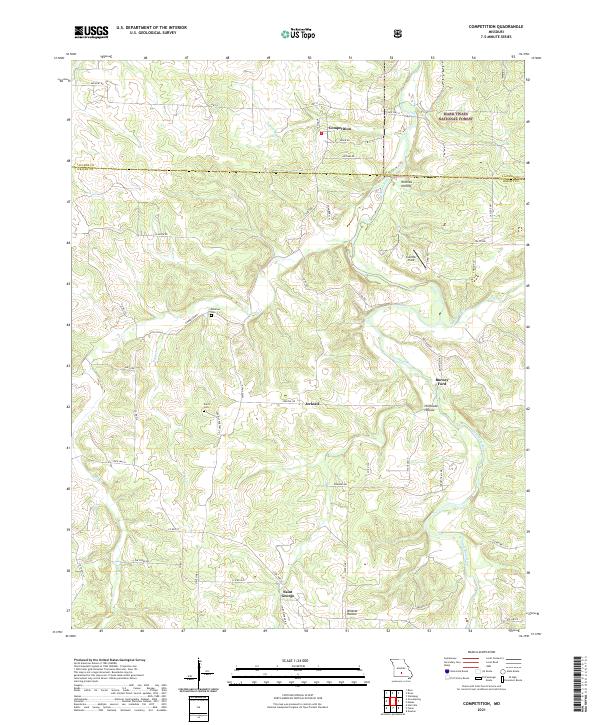
2021 Competition
Wright County, MO
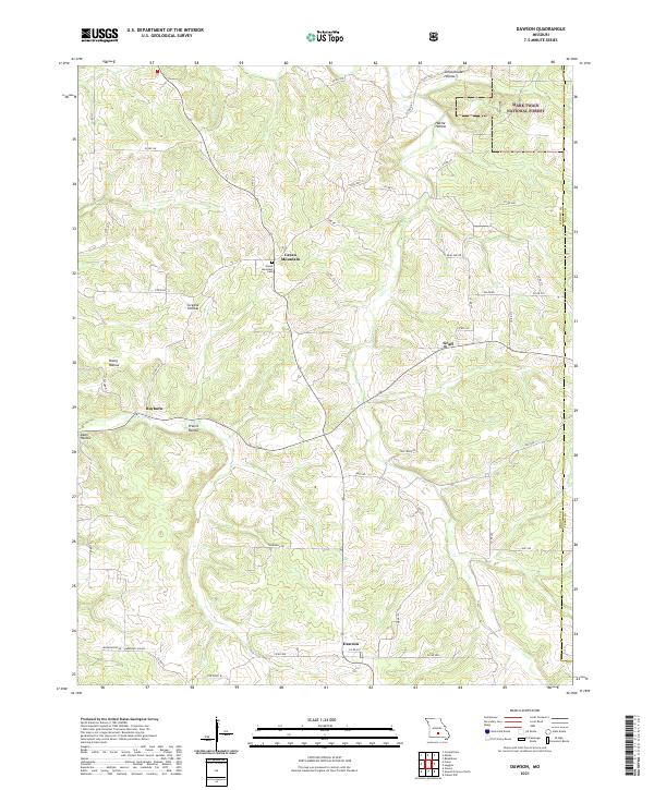
2021 Dawson
Wright County, MO
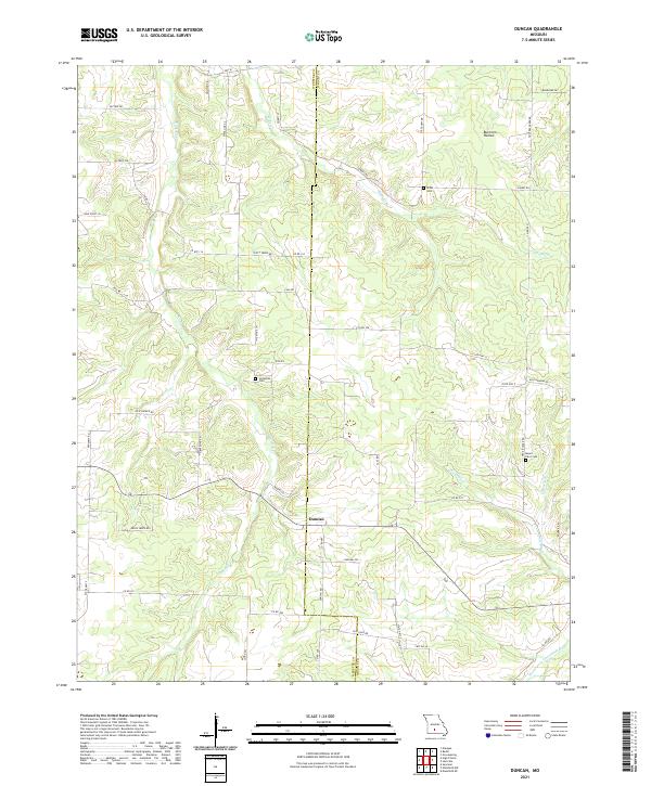
2021 Duncan
Wright County, MO
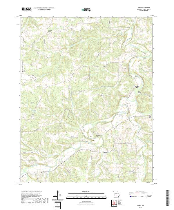
2021 Fuson
Wright County, MO
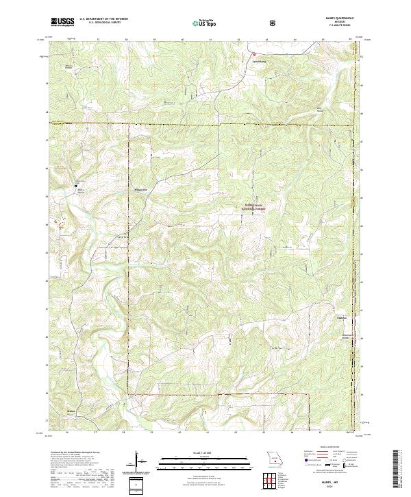
2021 Manes
Wright County, MO
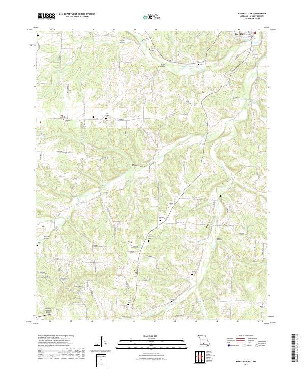
2021 Mansfield NE
Wright County, MO
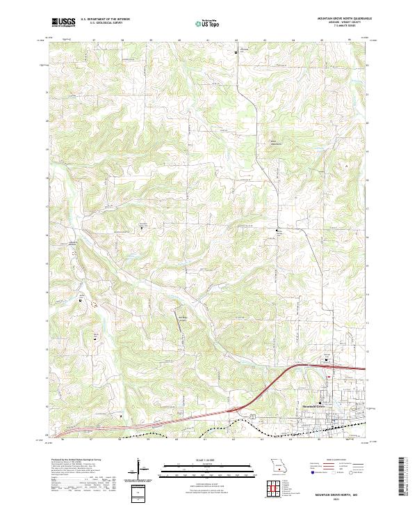
2021 Mountain Grove North
Wright County, MO
2021 Owens
Wright County, MO
2021 Rader
Wright County, MO