Old Maps of Manes, Missouri
Explore 13 old maps of Manes, spanning from 1931 to today. These high-resolution historic maps reveal how streets, neighborhoods, landmarks, and natural features evolved over time — perfect for genealogy, metal detecting, research, and local history exploration.
What you can do with these maps:
- See how Manes changed over time: Compare historical maps to modern-day views to trace roads, homesites, rail lines & more.
- View detailed metadata: Each map includes creators, publishers, year, scale, and archive source.
- Overlay maps with satellite & LiDAR: Visualize the past alongside modern tools to explore terrain & human change.
- Trusted historical sources: Maps sourced from the USGS, Library of Congress, and other archives.
- Access maps your way: View online, download high-res files, or order prints for personal or research use.
Start exploring old maps of Manes to uncover forgotten places, hidden landmarks, and the deep history beneath your feet.
Manes, MO maps
(13)- 1931 Map of Manes
 1931 Manes1931 Print · USGSWright and Texas Counties are shown here in the early thirties, a landscape of ridge-top schools and river-valley mills. Researchers can trace rural lineages through local landmarks like Grimes Mill, Post Oak Sch, and Evening Shade Ch.
 - 1941 Map of Manes, 1965 Print
 1941 Manes1965 Print · USGSThe northern Ozarks come to life in this mid-century survey of the Gasconade River valley and the surrounding hills of Laclede and Wright counties. Genealogists can trace family footprints through numerous rural landmarks like Grimes Mill, McBride Cem, and the village of Manes.2 unique versions available
 - 1943 Map of Manes
 1943 Manes1943 Print · USGSWright and Laclede counties are shown here in the 1940s as a landscape of river-bottom farms and rural school districts. Researchers can trace family ties through dozens of local landmarks like Latham Mill, Competition, and Indian Grove Sch.3 unique versions available
 - 1954 Map of Springfield
 1954 Springfield1954 Print · USGSThe Missouri Ozarks are captured here during the post-war era, showing the expansion of Springfield and the surrounding river valleys. Genealogists and historians can trace local landmarks like Mount Comfort Cemetery and the Fort Leonard Wood military grounds.6 unique versions available
 - 1958 Map of Springfield
 1958 Springfield1958 Print · USGSThe Missouri Ozarks are captured during the mid-century era of growth, centered on the bustling hub of Springfield. Genealogists and historians can trace family roots through numerous landmarks like Ebenezer Church, Stockton Cem, and the various county courthouses.
 - 1959 Map of Springfield
 1959 Springfield1959 Print · USGSThe Missouri Ozarks are captured here during a decade of postwar growth and increasing highway connectivity. Researchers can trace the legacy of the St Louis-San Francisco RR and locate early sites in Springfield, Lebanon, and Mountain Grove.
 - 1983 Map of Mountain Grove
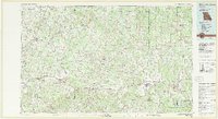 1983 Mountain Grove1983 Print · USGSWright and Webster counties in the early 1980s show a traditional Ozark landscape of ridge-running railroads and river headwaters. You can trace the Burlington Northern Railroad through towns like Mansfield or find rural landmarks like Vance Cem and Mt Zion Church.
 - 1987 Map of Manes
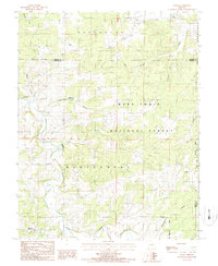 1987 Manes1987 Print · USGSThe Manes and Lynchburg area of Wright County comes to life in the late 1980s, showcasing the interplay of the Ozark woodlands and remote farmsteads. Trace old property lines and rural centers like Mingsville, Embree, and the local Cem.
 - 2004 Map of Manes, 2006 Print
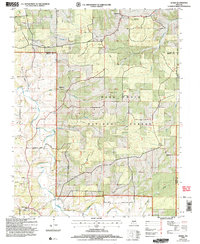 2004 Manes2006 Print · USGSWright and Laclede counties are shown here as they appeared in the early 2000s, centered on the wooded plateaus of the Missouri Ozarks. Researchers can locate the Lynchburg CCC Camp, old family cemeteries, and rural crossroads like Mingsville and Manes.
 - 2012 Map of Manes, 2012 Print
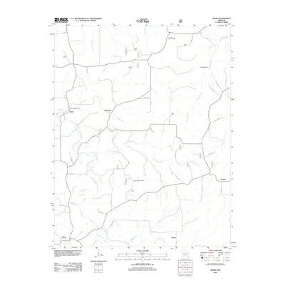 2012 Manes2012 Print · USGSLynchburg and the surrounding Missouri Ozarks appear in detail during the early 21st century, showing a landscape defined by deep hollows and rural outposts. Researchers can trace family roots near Blankenship Cemetery or locate historic sites like the Sunnyside Post Office and Astoria.
 - 2015 Map of Manes, 2015 Print
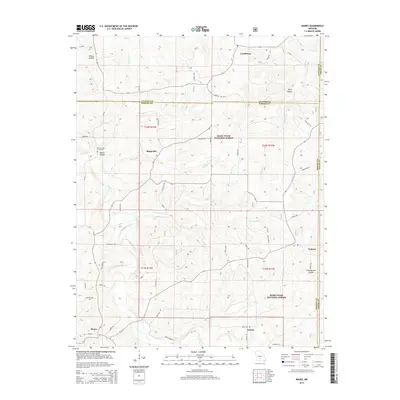 2015 Manes2015 Print · USGSThe Missouri Ozarks are mapped here in the early twenty-first century, showing a landscape defined by the ridgelines of the Mark Twain National Forest. You can trace rural family sites near Blankenship Cemetery or follow the hollows and creeks around Lynchburg, Mingsville, and Astoria.
 - 2017 Map of Manes, 2017 Print
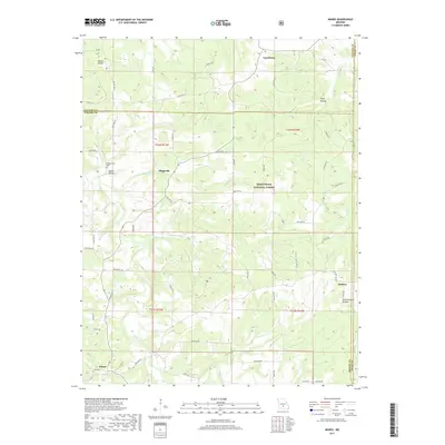 2017 Manes2017 Print · USGSThe Missouri Ozarks are shown here in the 2010s at the meeting of Laclede, Wright, and Texas counties. Genealogists and historians can trace local landmarks like Blankenship Cem and old settlements such as Mingsville, Embree, and Lynchburg.
 - 2021 Map of Manes, 2021 Print
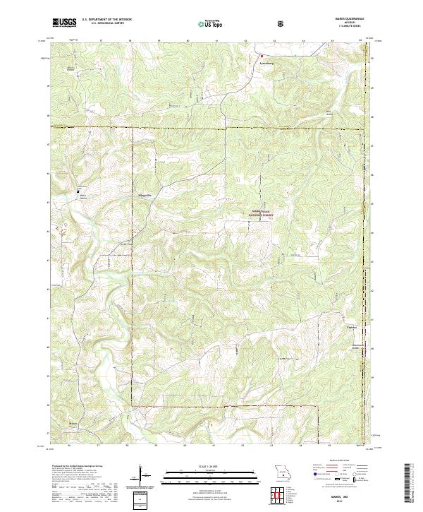 2021 Manes2021 Print · USGSWright County, Missouri, at the start of the 2020s remains a landscape of deep timber and Ozark hollows. Genealogists can trace family roots at Blankenship Cem or locate old community centers like Mingsville, Embree, and the northern village of Lynchburg.
End of results
Showing maps 1-13 of 13
Top cities near Manes
- Roubidoux historical maps
- Hartville historical maps
- Upton historical maps
- Plato historical maps
- Evergreen historical maps
Frequently asked questions
- What are the different types of historical maps available for Manes?
- What is the oldest map of Manes?
- Where can I purchase historical maps of Manes for my home or office?
- Where can I download high-res historical maps of Manes?
- Are there historical topographic maps available for Manes?
- Is there historical aerial imagery available for Manes?
- Where are historical maps of Manes sourced from?