2000s (21st Century) Maps of Manes, Missouri
Explore 5 historic maps of Manes from the 2000s (21st Century). These maps offer a rare glimpse into what life looked like during the 2000s — showing old roads, neighborhoods, homes, and landmarks that have changed or disappeared over time.
Whether you're researching your family's past, planning a metal detecting trip, or studying how Manes's landscape evolved across the 2000s, these high-resolution maps are a powerful tool for exploring the history of this region.
- Focus on a specific era: All maps on this page are from the 2000s, giving you a focused view of this time period.
- See what’s changed: Compare century-old streets, trails, and buildings to today's modern landscape using overlays and satellite layers.
- Research with precision: Use these maps for genealogy, historical research, land use analysis, or educational projects.
- View, download, or print: Maps are fully viewable online in high resolution, and can be downloaded or printed for your own records.
Start exploring Manes's history through authentic maps from the 2000s. This is your window into the past.
Manes, MO maps
(5)- 2004 Map of Manes, 2006 Print
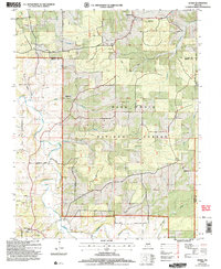 2004 Manes2006 Print · USGSWright and Laclede counties are shown here as they appeared in the early 2000s, centered on the wooded plateaus of the Missouri Ozarks. Researchers can locate the Lynchburg CCC Camp, old family cemeteries, and rural crossroads like Mingsville and Manes.
 - 2012 Map of Manes, 2012 Print
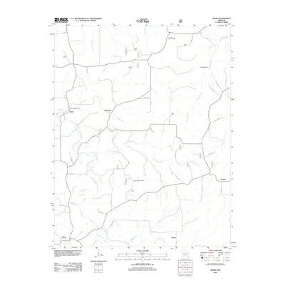 2012 Manes2012 Print · USGSCovers Manes, including Lynchburg, Maines, and other nearby areas
 - 2015 Map of Manes, 2015 Print
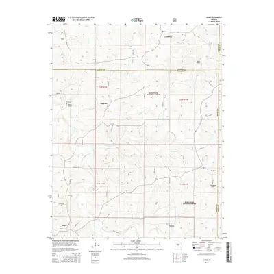 2015 Manes2015 Print · USGSCovers Manes, including Lynchburg, Maines, and other nearby areas
 - 2017 Map of Manes, 2017 Print
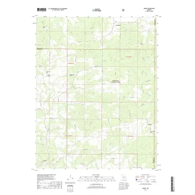 2017 Manes2017 Print · USGSCovers Manes, including Lynchburg, Maines, and other nearby areas
 - 2021 Map of Manes, 2021 Print
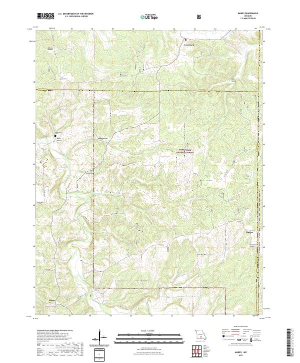 2021 Manes2021 Print · USGSWright County, Missouri, at the start of the 2020s remains a landscape of deep timber and Ozark hollows. Genealogists can trace family roots at Blankenship Cem or locate old community centers like Mingsville, Embree, and the northern village of Lynchburg.
End of results
Showing maps 1-5 of 5
Top cities near Manes
- Roubidoux historical maps
- Hartville historical maps
- Upton historical maps
- Plato historical maps
- Evergreen historical maps
Frequently asked questions
- What are the different types of historical maps available for Manes?
- What is the oldest map of Manes?
- Where can I purchase historical maps of Manes for my home or office?
- Where can I download high-res historical maps of Manes?
- Are there historical topographic maps available for Manes?
- Is there historical aerial imagery available for Manes?
- Where are historical maps of Manes sourced from?