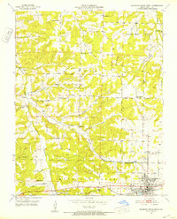
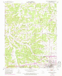
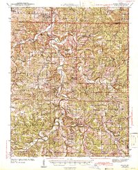
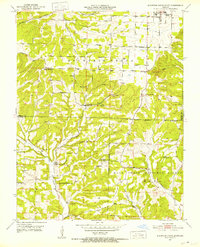
1951 Map of Mountain Grove North
USGS Topo · Published 1952About this map
The hills of Wright County surrounding Mountain Grove are defined by a network of rural schoolhouses and country churches in this mid-century survey. The landscape is deeply dissected by the Whetstone Creek and Dove Creek drainages, with small-scale farming and community life clustered along the ridge tops and valley floors. Notable institutional landmarks include the State Experiment Station and the industrial infrastructure of the Sewage Disposal system, reflecting the town's role as a regional hub.
Find a feature on this map
39 named features on this map. Tap any name to fly to it.
Don’t see what you’re looking for? This feature index may not catch every label — zoom into the map to look around manually.
Map Details
Editions of this 1951 Mountain Grove North Map
2 editions found
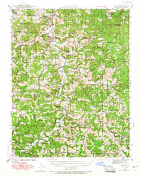
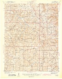
Other maps of this area
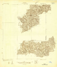
1931 · Manes
USGS Topo · 1:48,000
1941 · Manes
USGS Topo · 1:62,500

1941 · Bado
USGS Topo · 1:62,500
1943 · Manes
USGS Topo · 1:62,500
1943 · Bado
USGS Topo · 1:62,500
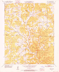
1950 · Cabool SW
USGS Topo · 1:24,000
1951 · Norwood
USGS Topo · 1:24,000
1951 · Mountain Grove South
USGS Topo · 1:24,000
1951 · Cabool NW
USGS Topo · 1:24,000
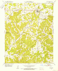
1951 · Owens
USGS Topo · 1:24,000