Old Maps of Mount Vernon, Missouri for Metal Detecting
Plan your next treasure hunt with 17 historic maps of Mount Vernon. Find old homesites, ghost towns, trails, and gathering spots that may be lost to time — perfect for identifying promising metal detecting locations.
- Locate forgotten sites: Uncover places like long-lost settlements, abandoned rail lines, or gathering spots.
- Plan better hunts: Use map overlays combined with LiDAR or satellite views to narrow in on historically rich areas.
- Made for detectorists: Thousands of hobbyists use these maps to discover relics, coins, and hidden history.
Use these historic maps to boost your research and find new opportunities beneath the surface of Mount Vernon.
Mount Vernon, MO maps
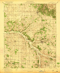
(17)- 1886 Map of Greenfield
 1886 Greenfield1886 Print · USGSSouthwest Missouri was undergoing a rail-driven transformation in the 1880s, as new lines connected established county seats to outlying farm towns. Genealogists can trace family roots through numerous small settlements like Paris Springs, Dadeville, and the thriving rail hub at Ash Grove.4 unique versions available
 - 1888 Map of Greenfield, 1898 Print
 1888 Greenfield1898 Print · USGSSouthwest Missouri thrived as a budding rail and agricultural hub in the 1880s. Local researchers can trace the early footprints of Greenfield and Mount Vernon, alongside smaller settlements like Paris Springs and Everton.
 - 1921 Map of Stotts City
 1921 Stotts City1921 Print · USGSLawrence County, Missouri, is captured here during the peak of its rail-driven settlement in the early nineteen-twenties. Genealogists and historians can locate dozens of country schools and family landmarks, from the Spanish Fort School to the Roberts Cemetery.2 unique versions available
 - 1954 Map of Springfield
 1954 Springfield1954 Print · USGSThe Missouri Ozarks are captured here during the post-war era, showing the expansion of Springfield and the surrounding river valleys. Genealogists and historians can trace local landmarks like Mount Comfort Cemetery and the Fort Leonard Wood military grounds.6 unique versions available
 - 1958 Map of Springfield
 1958 Springfield1958 Print · USGSThe Missouri Ozarks are captured during the mid-century era of growth, centered on the bustling hub of Springfield. Genealogists and historians can trace family roots through numerous landmarks like Ebenezer Church, Stockton Cem, and the various county courthouses.
 - 1959 Map of Springfield
 1959 Springfield1959 Print · USGSThe Missouri Ozarks are captured here during a decade of postwar growth and increasing highway connectivity. Researchers can trace the legacy of the St Louis-San Francisco RR and locate early sites in Springfield, Lebanon, and Mountain Grove.
 - 1971 Map of Miller, 1973 Print
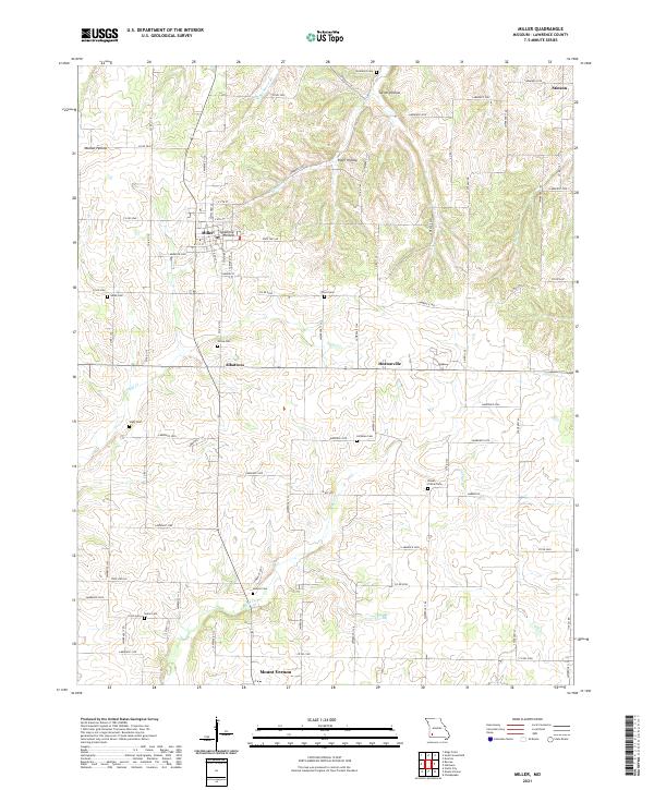
 1971 Miller1973 Print · USGSLawrence County farming life in the early 1970s is centered around the town of Miller and several outlying rural communities. Researchers can trace land ownership and family history through numerous landmarks like Hickman Cem, Summit Ch, and the Old Railroad Grade.
 - 1971 Map of Mount Vernon, 1973 Print
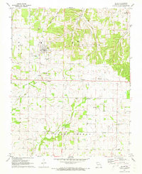
 1971 Mount Vernon1973 Print · USGSMount Vernon and the surrounding Ozark foothills are captured here in the early seventies during a period of steady local growth. Researchers can trace the family names of early settlers through numerous burial grounds like Spanish Fort Cem and Williams Cem, or locate the sprawling State Sanatorium complex.
 - 1982 Map of Springfield, 1983 Print
 1982 Springfield1983 Print · USGSSpringfield and the surrounding Ozark plateau are captured in the early eighties as the region balanced urban growth with its agricultural roots. Genealogists and researchers can trace the locations of White Chapel, the State Sanatorium, and older rail stops like Brookline.
 - 2011 Map of Mount Vernon, 2011 Print
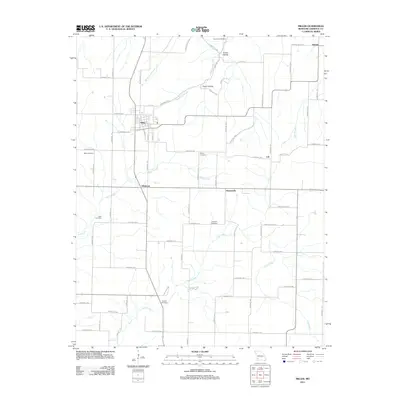
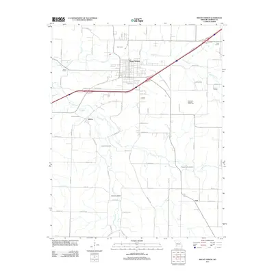 2011 Mount Vernon2011 Print · USGSCovers Mount Vernon, including Hoberg, Opal, and other nearby areas
 - 2011 Map of Miller, 2011 Print
 2011 Miller2011 Print · USGSCovers Mount Vernon, including Miller, Albatross, and other nearby areas
 - 2015 Map of Miller, 2015 Print
 2015 Miller2015 Print · USGSCovers Mount Vernon, including Miller, Albatross, and other nearby areas
 - 2015 Map of Mount Vernon, 2015 Print
 2015 Mount Vernon2015 Print · USGSCovers Mount Vernon, including Hoberg, Opal, and other nearby areas
 - 2017 Map of Mount Vernon, 2017 Print
 2017 Mount Vernon2017 Print · USGSCovers Mount Vernon, including Hoberg, Opal, and other nearby areas
 - 2017 Map of Miller, 2017 Print
 2017 Miller2017 Print · USGSCovers Mount Vernon, including Miller, Albatross, and other nearby areas
 - 2021 Map of Miller, 2021 Print
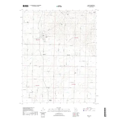
 2021 Miller2021 Print · USGSLawrence County at the dawn of the 2020s remains a landscape of quiet rural hamlets and deeply rooted family histories. Researchers can trace the legacy of early settlers through numerous burial sites like Hickman Cem and landmarks such as Stahl Cr or the community of Albatross.
 - 2021 Map of Mount Vernon, 2021 Print
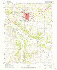
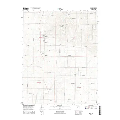
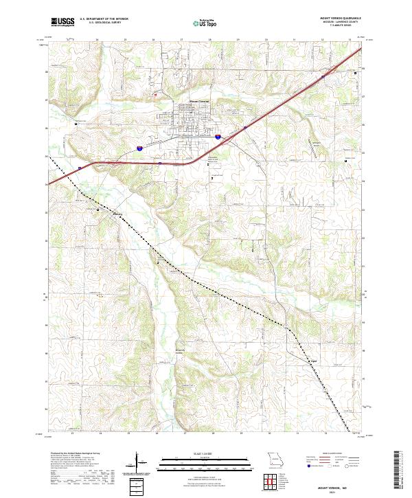 2021 Mount Vernon2021 Print · USGSModern Lawrence County comes into focus in this contemporary survey of its county seat and the surrounding rural townships. Researchers can trace family history through several local landmarks like Spanish Fort Cemetery or the small settlements of Hoberg and Opal.
End of results
Showing maps 1-17 of 17
Top cities near Mount Vernon
- Monett historical maps
- Aurora historical maps
- Marionville historical maps
- Ash Grove historical maps
- Pierce City historical maps
- Verona historical maps
See more
Frequently asked questions
- What are the different types of historical maps available for Mount Vernon?
- What is the oldest map of Mount Vernon?
- Where can I purchase historical maps of Mount Vernon for my home or office?
- Where can I download high-res historical maps of Mount Vernon?
- Are there historical topographic maps available for Mount Vernon?
- Is there historical aerial imagery available for Mount Vernon?
- Where are historical maps of Mount Vernon sourced from?