Old Maps of La Belle, Missouri for Metal Detecting
Plan your next treasure hunt with 12 historic maps of La Belle. Find old homesites, ghost towns, trails, and gathering spots that may be lost to time — perfect for identifying promising metal detecting locations.
- Locate forgotten sites: Uncover places like long-lost settlements, abandoned rail lines, or gathering spots.
- Plan better hunts: Use map overlays combined with LiDAR or satellite views to narrow in on historically rich areas.
- Made for detectorists: Thousands of hobbyists use these maps to discover relics, coins, and hidden history.
Use these historic maps to boost your research and find new opportunities beneath the surface of La Belle.
La Belle, MO maps
(12)- 1903 Map of Kahoka
 1903 Kahoka1903 Print · USGSNortheast Missouri at the turn of the century shows a landscape defined by the convergence of major rivers and competing rail lines. Genealogists can trace family roots in early centers like Kahoka and Monticello, or locate riverfront crossings at St. Francisville and Canton.3 unique versions available
 - 1950 Map of La Belle, 1977 Print
 1950 La Belle1977 Print · USGSThe town of La Belle and the surrounding Lewis County countryside are shown here at mid-century, just as the local rural school system was beginning to consolidate. Researchers can trace family sites near Washburn Cem or locate former schoolhouses like Sweet Oak Sch and Salem Sch.
 - 1951 Map of La Belle
 1951 La Belle1951 Print · USGSLa Belle and the surrounding Missouri countryside are captured here in the early fifties, just as the local rural school system was undergoing significant change. Genealogists and historians can trace family locations near the Chicago Burlington and Quincy tracks or locate family plots at Washburn Cem and Glover Cem.2 unique versions available
 - 1958 Map of Burlington, 1968 Print
 1958 Burlington1968 Print · USGSThe tri-state river country of Iowa, Illinois, and Missouri is captured here in the mid-fifties, dominated by the Mississippi River and major rail lines. Genealogists and historians can trace the development of river towns like Keokuk or locate the sprawling Iowa Army Ammunition Plant.4 unique versions available
 - 1961 Map of Burlington
 1961 Burlington1961 Print · USGSThe tri-state borderlands along the Mississippi River are captured here during the late fifties and early sixties, showing the vital river-and-rail economy of Iowa, Illinois, and Missouri. Genealogists and historians can trace the development of major hubs like Galesburg and Macomb alongside landmark sites such as the Iowa Ordnance Plant and the historic river town of Nauvoo.
 - 1963 Map of Burlington
 1963 Burlington1963 Print · USGSThe tri-state river country of the Mississippi and Illinois valleys comes alive in this mid-century survey. Genealogists and historians can trace the industrial and academic growth of the region, from the Iowa Ordnance Plant to campuses like Knox College and Western Illinois University.
 - 1986 Map of Keokuk
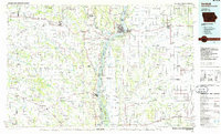 1986 Keokuk1986 Print · USGSThe tri-state junction of Iowa, Illinois, and Missouri comes alive in the mid-eighties as a hub of river commerce and rail transit. Researchers can trace family roots through Moss Ridge Cemetery or study industrial landmarks like the Keokuk Dam and Lock and Dam No 19.2 unique versions available
 - 1990 Map of Burlington
 1990 Burlington1990 Print · USGSThe tri-state confluence of Iowa, Illinois, and Missouri is mapped here at the end of the twentieth century. Genealogists and historians can trace the riverfront heritage of Burlington, Keokuk, and Fort Madison, or locate sites like the Battle of Athens State Historic Site.2 unique versions available
 - 2012 Map of La Belle, 2012 Print
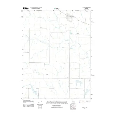 2012 La Belle2012 Print · USGSLewis County as it appeared in 2012 shows a resilient rural landscape centered on the settlement of La Belle. Researchers can trace local heritage at Woodland School, locate family plots at Washburn Cemetery, or follow the winding course of Troublesome Creek.
 - 2014 Map of La Belle, 2014 Print
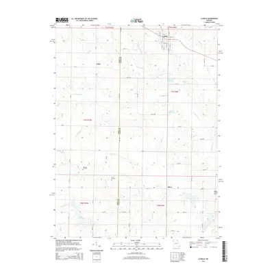 2014 La Belle2014 Print · USGSThe Knox and Lewis county line divides this northeastern Missouri landscape during the early twenty-first century. Genealogists and local historians can locate the rural settlements of Jeddo and Salem, as well as family landmarks like Washburn Cemetery and Glover Cemetery.
 - 2017 Map of La Belle, 2017 Print
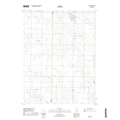 2017 La Belle2017 Print · USGSThe rural landscape of Lewis County unfolds around the town of La Belle in this modern survey. Researchers can trace ancestral sites at Washburn Cem and Glover Cem or locate regional landmarks like Henry Sever Lake.
 - 2021 Map of La Belle, 2021 Print
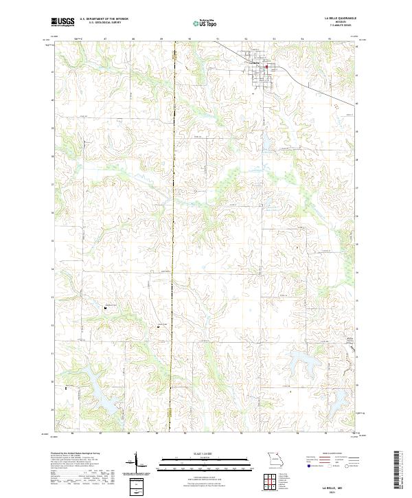 2021 La Belle2021 Print · USGSThe northern Missouri landscape surrounding La Belle comes into focus in this recent survey, showcasing the rural transition between Lewis and Knox counties. Genealogists and historians can trace family locations through Washburn Cemetery, Glover Cemetery, and the Sharpe Farms Airport.
End of results
Showing maps 1-12 of 12
Top cities near La Belle
- Lewistown historical maps
- Ewing historical maps
- Knox City historical maps
- Monticello historical maps
- Rutledge historical maps
- Newark historical maps
See more
Frequently asked questions
- What are the different types of historical maps available for La Belle?
- What is the oldest map of La Belle?
- Where can I purchase historical maps of La Belle for my home or office?
- Where can I download high-res historical maps of La Belle?
- Are there historical topographic maps available for La Belle?
- Is there historical aerial imagery available for La Belle?
- Where are historical maps of La Belle sourced from?