Old Maps of Shafter, Missouri for Metal Detecting
Plan your next treasure hunt with 12 historic maps of Shafter. Find old homesites, ghost towns, trails, and gathering spots that may be lost to time — perfect for identifying promising metal detecting locations.
- Locate forgotten sites: Uncover places like long-lost settlements, abandoned rail lines, or gathering spots.
- Plan better hunts: Use map overlays combined with LiDAR or satellite views to narrow in on historically rich areas.
- Made for detectorists: Thousands of hobbyists use these maps to discover relics, coins, and hidden history.
Use these historic maps to boost your research and find new opportunities beneath the surface of Shafter.
Shafter, MO maps
(12)- 1924 Map of Chula
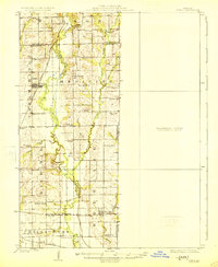 1924 Chula1924 Print · USGSNorth-central Missouri thrived as a rail-connected farming region in the early twentieth century. Researchers can trace dozens of rural schoolhouses and family plots, from Brush College School to the Plainview Cemetery near Chula.3 unique versions available
 - 1947 Map of Chula
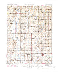 1947 Chula1947 Print · USGSNorth-central Missouri in the late 1940s is defined here by its rail-linked prairie towns and an incredible density of small country schoolhouses. Genealogists can trace family footprints across dozens of landmarks like Stucker Cemetery, Mt Gilead Church, and Jacksnipe School.3 unique versions available
 - 1953 Map of Moberly
 1953 Moberly1953 Print · USGSMid-century north-central Missouri is documented here as a bustling intersection of river commerce and heavy rail. Researchers can trace historic family-named landmarks and transport hubs from the Missouri River corridor to the rail yards of Moberly, Chillicothe, and Macon.
 - 1954 Map of Moberly, 1969 Print
 1954 Moberly1969 Print · USGSMid-century Missouri is captured here during a period of transition for its river towns and rail hubs. Genealogists and historians can trace the paths of the Wabash railroad through Moberly or explore the riverside layout of Lexington and Brunswick.3 unique versions available
 - 1957 Map of Moberly
 1957 Moberly1957 Print · USGSNorth-central Missouri in the late nineteen-forties and fifties remains a landscape defined by its great rivers and a dense network of steam and diesel rail lines. Genealogists and historians can trace the paths of the Wabash RR and Santa Fe RR through historic junctions like Moberly, Brookfield, and Macon.
 - 1960 Map of Moberly
 1960 Moberly1960 Print · USGSCentral Missouri comes alive in the mid-twentieth century as a bustling network of river towns and significant rail corridors. Genealogists and historians can trace the paths of the Wabash RR through Moberly or explore the riverfronts of Lexington and Brunswick.
 - 1981 Map of Chillicothe
 1981 Chillicothe1981 Print · USGSNorth Missouri's Grand River basin comes into focus during the early 1980s, showcasing a network of vital rail lines and river settlements. Genealogists and historians can trace rail-town development from Gallatin to Brookfield and explore extensive conservation lands like Swan Lake National Wildlife Refuge.
 - 1984 Map of Eversonville, 1985 Print
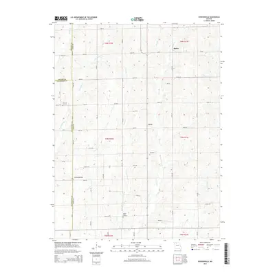
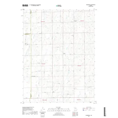
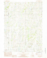 1984 Eversonville1985 Print · USGSNorthern Missouri farm country and small crossroads communities are preserved here in the mid-1980s. Researchers can trace the rural landscape around Eversonville, Shafter, and Hecla, alongside the winding banks of Muddy Creek and Smokey Creek.
 - 2012 Map of Eversonville, 2012 Print
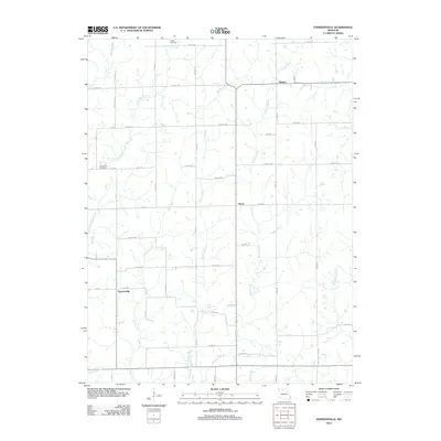 2012 Eversonville2012 Print · USGSCovers Shafter, including Eversonville, Hecla, and other nearby areas
 - 2015 Map of Eversonville, 2015 Print
 2015 Eversonville2015 Print · USGSCovers Shafter, including Eversonville, Hecla, and other nearby areas
 - 2017 Map of Eversonville, 2017 Print
 2017 Eversonville2017 Print · USGSCovers Shafter, including Eversonville, Hecla, and other nearby areas
 - 2021 Map of Eversonville, 2021 Print
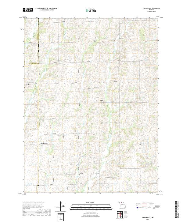 2021 Eversonville2021 Print · USGSLinn and Livingston counties appear in this modern survey of north-central Missouri farmland. Researchers can trace family roots at Van Horne Cem and Parsons Creek Cem or locate the quiet settlements of Eversonville, Shafter, and Hecla.
End of results
Showing maps 1-12 of 12
Top cities near Shafter
- Brookfield historical maps
- Milan historical maps
- Meadville historical maps
- Laclede historical maps
- Linneus historical maps
- Galt historical maps
See more
Frequently asked questions
- What are the different types of historical maps available for Shafter?
- What is the oldest map of Shafter?
- Where can I purchase historical maps of Shafter for my home or office?
- Where can I download high-res historical maps of Shafter?
- Are there historical topographic maps available for Shafter?
- Is there historical aerial imagery available for Shafter?
- Where are historical maps of Shafter sourced from?