Old Maps of Beulah, Missouri for Hiking & Exploration
Hike through history with 17 historic maps of Beulah. Explore old trails, ghost towns, and forgotten backroads — perfect for outdoor adventurers and local explorers.
- Rediscover forgotten places: Map out old mining camps, roads, and footpaths that no longer exist on modern maps.
- Layer with modern tools: Combine with LiDAR or satellite views to plan hikes through historical terrain.
- Made for exploration: Popular among hikers, overlanders, and local history lovers.
Use these maps to find adventure and explore the hidden past of Beulah.
Beulah, MO maps
(17)- 1926 Map of Des Arc, 1960 Print
 1926 Des Arc1960 Print · USGSIron and Wayne County hills are captured here in the mid-1920s, showing a landscape defined by the Missouri Pacific rail line. Genealogists can locate family-named landmarks like Emilys Chapel and numerous rural schoolhouses from Glover Sch to Brunot Sch.2 unique versions available
 - 1929 Map of Des Arc
 1929 Des Arc1929 Print · USGSIron and Madison counties in the late 1920s show a landscape of mountain hollows and railroad towns. Trace the Missouri Pacific line through Des Arc and Annapolis, or locate ancestral sites like Emily's Chapel and the Jewett Sch.3 unique versions available
 - 1949 Map of Rolla, 1950 Print
 1949 Rolla1950 Print · USGSThe Missouri Ozarks are captured here just after the war, showing a landscape of deep river valleys and emerging reservoir projects. Genealogists and historians can trace the mining towns of Bonne Terre and Potosi or follow the early route of U.S. Highway 66.
 - 1953 Map of Rolla
 1953 Rolla1953 Print · USGSSoutheast Missouri’s mining towns and timberlands are seen here at the start of the 1950s. Genealogists and historians can trace the rail-and-river economy through local hubs like Fredericktown and the lead-mining heritage of Potosi and Desloge.
 - 1954 Map of Rolla, 1970 Print
 1954 Rolla1970 Print · USGSThe Missouri Ozarks and the historic Lead Belt are captured in the late sixties, showing a landscape of deep river hollows and industrial mines. Researchers can trace the routes of the Missouri Pacific RR to extraction sites like the Iron Mountain Mine or Pea Ridge Mine.2 unique versions available
 - 1958 Map of Rolla
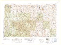 1958 Rolla1958 Print · USGSThe Missouri Ozarks and the lead-rich hills of the southeast are captured here in the late fifties as timber and mining shaped the local economy. Researchers can locate family landmarks like the Rolla Cemetery or trace old rail lines including the Missouri-Illinois RR and St Louis-San Francisco RR.
 - 1959 Map of Rolla
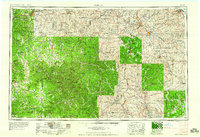 1959 Rolla1959 Print · USGSMid-century Missouri is defined here by the deep forests of the Ozarks and the industrial peaks of the St Francois Mountains. Genealogists and historians can trace the development of towns like Potosi and Fredericktown or locate rural landmarks like Dry Fork Church and the Phelps County Courthouse.
 - 1960 Map of Rolla
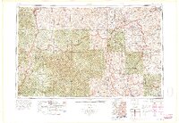 1960 Rolla1960 Print · USGSThe Ozark Highlands in the mid-twentieth century reveal a landscape of deep timber and heavy industry. Researchers can trace the rail-and-mine economy through the St Louis-San Francisco RR and the Iron Mountain Mine, alongside the growth of Fort Leonard Wood.
 - 1966 Map of Rolla
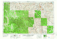 1966 Rolla1966 Print · USGSThe Missouri Ozarks are revealed here in the mid-1960s, showing the intersection of heavy industry and sprawling national forests. Trace the development of the Lead Belt near Flat River or locate family roots in vanished hamlets like Enough and Howes Mill.
 - 1968 Map of Brunot, 1969 Print
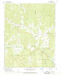 1968 Brunot1969 Print · USGSThe rural hills of Iron and Wayne counties are captured here in the late sixties as the local landscape remained deeply tied to its branching creek valleys. Genealogists and researchers can locate several remote burial sites such as Brewington Cem and Hunter Cem or trace the boundaries of Sam A Baker State Park.3 unique versions available
 - 1971 Map of Rolla
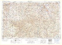 1971 Rolla1971 Print · USGSThe Missouri Ozarks are captured here during the early seventies, showing a landscape of deep river valleys and industrial mining towns. Researchers can trace historic lead mining operations at St Joseph Mines and locate rural landmarks like Viburnum and the Galveston Trail.
 - 1986 Map of Piedmont
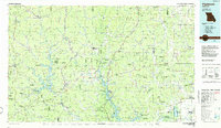 1986 Piedmont1986 Print · USGSThe Missouri Ozarks are captured here in the mid-eighties as a region of dense state forests and critical river management. Genealogists and historians can trace family-named features and rural settlements like Piedmont, Lesterville, and the Yokum School.2 unique versions available
 - 1989 Map of Rolla
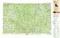 1989 Rolla1989 Print · USGSThe Missouri Ozarks are captured in the late eighties as a landscape of national forests and historic mining towns. Researchers can trace the rail lines of the Missouri Pacific RR or locate landmarks like Taum Sauk Mtn and Elephant Rocks State Park.
 - 2011 Map of Brunot, 2011 Print
 2011 Brunot2011 Print · USGSThe rural Ozark settlements of Brunot and Beulah are shown here as they appeared in the early 21st century. Genealogists can trace family footprints through numerous burial sites like Lucy Cemetery and roads such as Dave Deboard Rd.
 - 2015 Map of Brunot, 2015 Print
 2015 Brunot2015 Print · USGSThe borderlands of Iron, Madison, and Wayne counties come into focus in this recent survey of the Missouri Ozarks. Researchers can trace family history through numerous burial sites like Lucy Cemetery and Morris Cemetery or locate landmarks like Des Arc Mtn.
 - 2017 Map of Brunot, 2017 Print
 2017 Brunot2017 Print · USGSThe upland terrain of the Missouri Ozarks appears here during the late 2010s, showing the intersection of three counties. Local historians can trace family ties through numerous burial sites like Lucy Cem, Morris Cem, and Nichols Cem near the settlement of Brunot.
 - 2021 Map of Brunot, 2021 Print
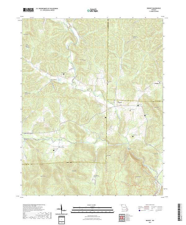 2021 Brunot2021 Print · USGSThe Missouri Ozarks are showcased at the meeting point of Iron, Madison, and Wayne counties in the early 2020s. Genealogists can locate several small family burial sites like Lucy Cem and Nichols Cem tucked between Des Arc Mtn and Big Creek.
End of results
Showing maps 1-17 of 17
Top cities near Beulah
- Fredericktown historical maps
- Piedmont historical maps
- Greenville historical maps
- Annapolis historical maps
- Des Arc historical maps
Frequently asked questions
- What are the different types of historical maps available for Beulah?
- What is the oldest map of Beulah?
- Where can I purchase historical maps of Beulah for my home or office?
- Where can I download high-res historical maps of Beulah?
- Are there historical topographic maps available for Beulah?
- Is there historical aerial imagery available for Beulah?
- Where are historical maps of Beulah sourced from?