
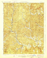
1929 Map of Des Arc
USGS Topo · Published 1929About this map
Annapolis and Des Arc serve as central hubs in this late 1920s survey of the St. Francois Mountains region, where the Missouri Pacific railroad dictates the pattern of valley settlement. The rail line follows the winding course of the Black River valley, connecting timber and mining towns like Vulcan, Sabula, and Chloride. This period shows a landscape densely dotted with rural community centers, including Emily's Chapel and numerous country schools such as Glover Sch and Brunot Sch that supported isolated families in the hollows.
Find a feature on this map
54 named features on this map. Tap any name to fly to it.
Don’t see what you’re looking for? This feature index may not catch every label — zoom into the map to look around manually.
Map Details
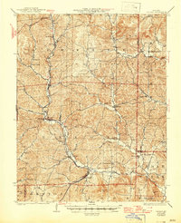
Editions of this 1929 Des Arc Map
3 editions found
Other maps of this area

1924 · Edgehill
USGS Topo · 1:62,500

1926 · Edgehill
USGS Topo · 1:62,500

1926 · Des Arc
USGS Topo · 1:62,500

1930 · Coldwater
USGS Topo · 1:62,500

1932 · Piedmont
USGS Topo · 1:62,500

1934 · Greenville
USGS Topo · 1:62,500

1935 · Piedmont
USGS Topo · 1:62,500

1937 · Ironton
USGS Topo · 1:48,000

1939 · Greenville
USGS Topo · 1:62,500

1939 · Fredericktown
USGS Topo · 1:48,000