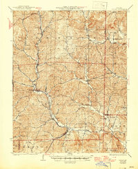
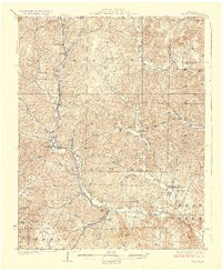
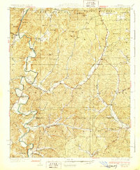
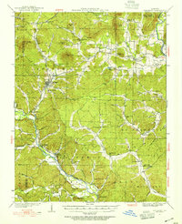
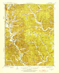
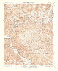
1929 Map of Des Arc
USGS Topo · Published 1946About this map
Annapolis and Des Arc anchor this corner of the Ozark foothills, where the Missouri Pacific railroad winds through the valley of the Black River. The landscape is a network of small, isolated valley settlements and upland forests, much of which is captured within the Clark National Forest. The map reveals a dense rural infrastructure of one-room schoolhouses and community landmarks such as Glover Sch, Crane Pond Sch, and Emilys Chapel, reflecting the localized social life of the late 1920s. In the southeast, the terrain rises toward Mudlick Mtn within the early boundaries of Sam A Baker State Park. The drainage patterns of Big Creek and Crane Pond Creek define the ridges and hollows, illustrating the topographic constraints on transport and agriculture in the Iron and Wayne County borderlands.
Find a feature on this map
71 named features on this map. Tap any name to fly to it.
Don’t see what you’re looking for? This feature index may not catch every label — zoom into the map to look around manually.
Map Details
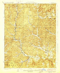
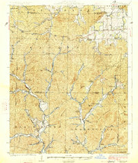
Editions of this 1929 Des Arc Map
3 editions found
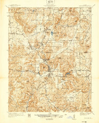
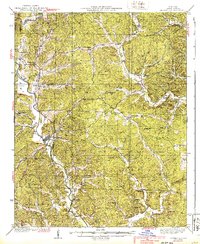
Other maps of this area

1924 · Edgehill
USGS Topo · 1:62,500
1926 · Edgehill
USGS Topo · 1:62,500
1926 · Des Arc
USGS Topo · 1:62,500
1929 · Des Arc
USGS Topo · 1:62,500
1930 · Coldwater
USGS Topo · 1:62,500
1932 · Piedmont
USGS Topo · 1:62,500
1934 · Greenville
USGS Topo · 1:62,500
1935 · Piedmont
USGS Topo · 1:62,500
1937 · Ironton
USGS Topo · 1:48,000
1939 · Greenville
USGS Topo · 1:62,500