Old Maps of Rocky Comfort, Missouri for Academic Research
Study the evolution of Rocky Comfort with 11 high-resolution historic maps. Whether you're teaching, researching, or modeling changes in land use, these maps provide essential visual documentation of urban, environmental, and geographic change.
- Analyze long-term change: Track patterns in development, transportation, and natural features.
- Ideal for environmental or urban studies: Support academic projects with primary historical map data.
- Use in the classroom or lab: Educators and researchers rely on these maps to bring historical context to life.
These maps are a powerful tool for teaching, research, and visualizing how Rocky Comfort has changed over the decades.
Rocky Comfort, MO maps
(11)- 1941 Map of Rocky Comfort, 1962 Print
 1941 Rocky Comfort1962 Print · USGSThe Missouri Ozarks are captured here in the early 1940s, showing a landscape defined by the winding Big Sugar Creek and the Missouri and Arkansas railroad. Researchers can trace rural life through dozens of local sites like Chitwood Cem, Rocky Comfort, and the Spring Hill Sch.2 unique versions available
 - 1943 Map of Rocky Comfort
 1943 Rocky Comfort1943 Print · USGSThe Ozark highlands of McDonald County come into sharp focus during the early 1940s, showing a landscape of deep hollows and high ridges. Genealogists can trace family roots through numerous rural landmarks like Seven Star Sch, Greason Cem, and the village of Powell.3 unique versions available
 - 1954 Map of Tulsa
 1954 Tulsa1954 Print · USGSNortheast Oklahoma and the Ozark border are shown here during a period of massive industrial and infrastructure growth. Researchers can trace the legacy of the Tri-State Mining District and the development of major reservoirs like Grand Lake O' The Cherokees.2 unique versions available
 - 1958 Map of Tulsa, 1968 Print
 1958 Tulsa1968 Print · USGSNortheast Oklahoma and the Ozark borderlands are captured here during a massive era of reservoir construction and highway expansion. Researchers can trace the mid-century footprints of Tulsa, the sprawling Lake O' the Cherokees, and historical sites like Pea Ridge National Military Park.3 unique versions available
 - 1963 Map of Tulsa
 1963 Tulsa1963 Print · USGSThe Oklahoma and Arkansas borderlands are shown here in the early sixties, a time of massive reservoir construction and heavy mining. Genealogists can trace family roots through settlements like Nowata, Pryor, and Jay, or locate historical zinc and lead mines and coal mines.
 - 1982 Map of Rocky Comfort
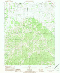 1982 Rocky Comfort1982 Print · USGSThe northern Ozarks in the early eighties are mapped here in detail, centered on the Newton and McDonald County border. Researchers can trace family-named hollows and sites like Rocky Comfort, Ridgley, and Christian Spring.
 - 1986 Map of Neosho
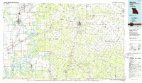 1986 Neosho1986 Print · USGSThe tri-state border region comes alive in the mid-eighties as a landscape of mining heritage and river valleys. Researchers can trace the rail lines of the Kansas City Southern Ry and locate rural landmarks like Gibson Cem and Peoria.2 unique versions available
 - 2012 Map of Rocky Comfort, 2012 Print
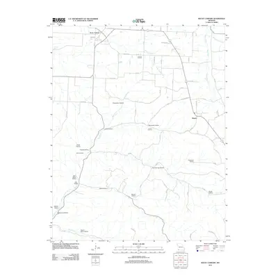 2012 Rocky Comfort2012 Print · USGSRocky Comfort and the surrounding Missouri countryside are captured here in the early twenty-first century, showing a landscape carved by hollows and creeks. Researchers can locate Chitwood Cemetery, trace the path of South Indian Creek, or find family-named points like Layton Hollow.
 - 2015 Map of Rocky Comfort, 2015 Print
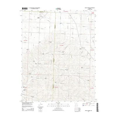 2015 Rocky Comfort2015 Print · USGSThe Missouri Ozarks are captured here in the mid-2010s, showcasing the high-relief landscape where Barry and McDonald counties meet. Researchers can trace rural cemeteries like Chitwood Cemetery and explore dozens of named valleys such as Pigeon Roost Hollow and Chairbottom Hollow.
 - 2017 Map of Rocky Comfort, 2017 Print
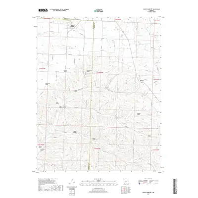 2017 Rocky Comfort2017 Print · USGSThe northern reaches of the Ozark plateau in the late 2010s are defined by the intricate hollows and spring-fed creeks surrounding Rocky Comfort. Researchers can trace old family sites and rural landmarks like Chitwood Cem and the small settlement of Ridgley.
 - 2021 Map of Rocky Comfort, 2021 Print
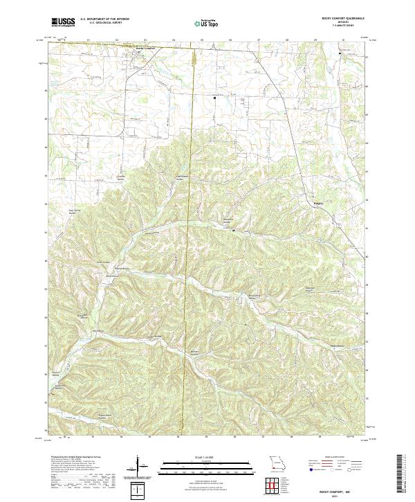 2021 Rocky Comfort2021 Print · USGSThe rural landscapes of McDonald and Barry counties are captured here in the early twenty-first century. Genealogists can trace family roots through sites like Chitwood Cem and Ridgley, or locate family lands near Pigeon Roost Hollow.
End of results
Showing maps 1-11 of 11
Top cities near Rocky Comfort
- Monett historical maps
- Cassville historical maps
- Granby historical maps
- Pierce City historical maps
- Purdy historical maps
- Seligman historical maps
See more
Frequently asked questions
- What are the different types of historical maps available for Rocky Comfort?
- What is the oldest map of Rocky Comfort?
- Where can I purchase historical maps of Rocky Comfort for my home or office?
- Where can I download high-res historical maps of Rocky Comfort?
- Are there historical topographic maps available for Rocky Comfort?
- Is there historical aerial imagery available for Rocky Comfort?
- Where are historical maps of Rocky Comfort sourced from?