Old Maps of Yonkerville, Monett for Hiking & Exploration
Hike through history with 10 historic maps of Yonkerville. Explore old trails, ghost towns, and forgotten backroads — perfect for outdoor adventurers and local explorers.
- Rediscover forgotten places: Map out old mining camps, roads, and footpaths that no longer exist on modern maps.
- Layer with modern tools: Combine with LiDAR or satellite views to plan hikes through historical terrain.
- Made for exploration: Popular among hikers, overlanders, and local history lovers.
Use these maps to find adventure and explore the hidden past of Yonkerville.
Yonkerville, Monett maps
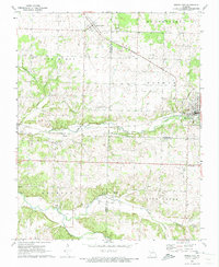
(10)- 1943 Map of Ritchey
 1943 Ritchey1943 Print · USGSSouthwest Missouri during the war years shows a landscape of busy railroads and emerging military sites. Genealogists can trace family roots through numerous local landmarks like Odd Fellows Cem, Dungy Mine, and rural centers such as Stark City.2 unique versions available
 - 1954 Map of Tulsa
 1954 Tulsa1954 Print · USGSNortheast Oklahoma and the Ozark border are shown here during a period of massive industrial and infrastructure growth. Researchers can trace the legacy of the Tri-State Mining District and the development of major reservoirs like Grand Lake O' The Cherokees.2 unique versions available
 - 1958 Map of Tulsa, 1968 Print
 1958 Tulsa1968 Print · USGSNortheast Oklahoma and the Ozark borderlands are captured here during a massive era of reservoir construction and highway expansion. Researchers can trace the mid-century footprints of Tulsa, the sprawling Lake O' the Cherokees, and historical sites like Pea Ridge National Military Park.3 unique versions available
 - 1963 Map of Tulsa
 1963 Tulsa1963 Print · USGSThe Oklahoma and Arkansas borderlands are shown here in the early sixties, a time of massive reservoir construction and heavy mining. Genealogists can trace family roots through settlements like Nowata, Pryor, and Jay, or locate historical zinc and lead mines and coal mines.
 - 1972 Map of Pierce City, 1973 Print
 1972 Pierce City1973 Print · USGSThe rail-and-creek landscape of Southwest Missouri comes to life in the early seventies, showing the area as the railroad era matured. Genealogists and historians can trace families near Pierce City, Yonkerville, and the rural Berwick Ch.
 - 1986 Map of Neosho
 1986 Neosho1986 Print · USGSThe tri-state border region comes alive in the mid-eighties as a landscape of mining heritage and river valleys. Researchers can trace the rail lines of the Kansas City Southern Ry and locate rural landmarks like Gibson Cem and Peoria.2 unique versions available
 - 2012 Map of Pierce City, 2012 Print
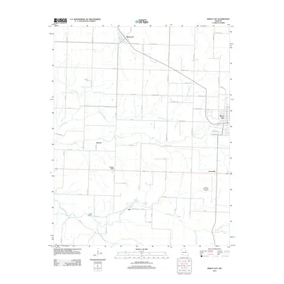 2012 Pierce City2012 Print · USGSCovers Yonkerville, including Monett, Pierce City, and other nearby areas
 - 2015 Map of Pierce City, 2015 Print
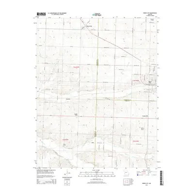 2015 Pierce City2015 Print · USGSCovers Yonkerville, including Monett, Pierce City, and other nearby areas
 - 2017 Map of Pierce City, 2017 Print
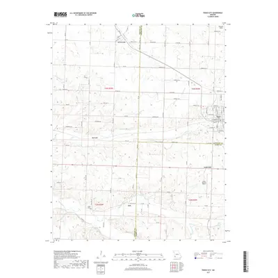 2017 Pierce City2017 Print · USGSCovers Yonkerville, including Monett, Pierce City, and other nearby areas
 - 2021 Map of Pierce City, 2021 Print
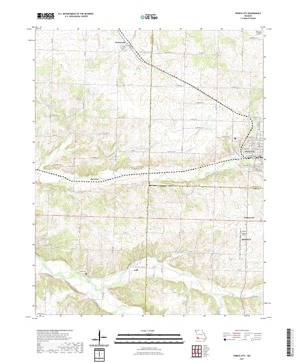 2021 Pierce City2021 Print · USGSPierce City and its neighboring Ozark border towns are shown here in the modern era as they navigate a landscape of agriculture and aviation. Genealogists and local researchers can trace family landmarks like Wright Cem or find the small communities of Berwick, Jolly, and Yonkerville.
End of results
Showing maps 1-10 of 10
Top cities near Yonkerville
- Monett historical maps
- Mount Vernon historical maps
- Cassville historical maps
- Pierce City historical maps
- Sarcoxie historical maps
- Purdy historical maps
See more
Frequently asked questions
- What are the different types of historical maps available for Yonkerville?
- What is the oldest map of Yonkerville?
- Where can I purchase historical maps of Yonkerville for my home or office?
- Where can I download high-res historical maps of Yonkerville?
- Are there historical topographic maps available for Yonkerville?
- Is there historical aerial imagery available for Yonkerville?
- Where are historical maps of Yonkerville sourced from?