Old Maps of Hartzell, Missouri for Academic Research
Study the evolution of Hartzell with 9 high-resolution historic maps. Whether you're teaching, researching, or modeling changes in land use, these maps provide essential visual documentation of urban, environmental, and geographic change.
- Analyze long-term change: Track patterns in development, transportation, and natural features.
- Ideal for environmental or urban studies: Support academic projects with primary historical map data.
- Use in the classroom or lab: Educators and researchers rely on these maps to bring historical context to life.
These maps are a powerful tool for teaching, research, and visualizing how Hartzell has changed over the decades.
Hartzell, MO maps
(9)- 1940 Map of Pascola, 1942 Print
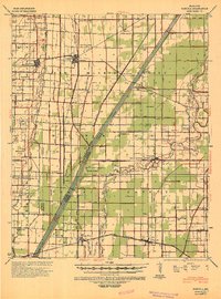 1940 Pascola1942 Print · USGSThe Missouri Bootheel is shown here during a period of massive land reclamation and rail-driven growth. Family historians can trace rural roots at Miller Sch, Mount Gilead Cem, and the timber-focused Lumber Yard in Gideon.
 - 1955 Map of Pascola
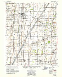 1955 Pascola1955 Print · USGSThe Missouri Bootheel in the mid-fifties reveals a landscape defined by an extensive drainage system and the St Louis San Francisco rail line. Researchers can trace rural life through sites like the Delmore Labor Home, Sumach Ch & Cem, and the Gideon Memorial Airport.
 - 1956 Map of Dyersburg, 1960 Print
 1956 Dyersburg1960 Print · USGSThe Four Rivers region comes alive in the mid-fifties, capturing the intricate borderlands of Tennessee, Kentucky, and Missouri. Genealogists and historians can trace the rail-and-river networks connecting Dyersburg, Caruthersville, and the shoreline of Reelfoot Lake.4 unique versions available
 - 1978 Map of Boekerton, 1979 Print
 1978 Boekerton1979 Print · USGSThe Missouri Bootheel at the end of the 1970s reveals a landscape of reclaimed wetlands and straight-line drainage engineering. Trace family roots and local history through small settlements like Boekerton, landmarks like Huie Ch, and the massive route of The Floodway.
 - 1983 Map of Dyersburg
 1983 Dyersburg1983 Print · USGSSpanning the Mississippi River at the start of the 1980s, this area shows the vital river-and-rail connections between Tennessee and Missouri. Researchers can trace family sites at Mount Pisgah Cemetery or study the evolving shoreline near Caruthersville and Reelfoot Lake.
 - 2012 Map of Boekerton, 2012 Print
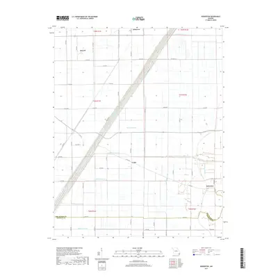
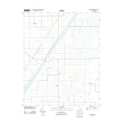 2012 Boekerton2012 Print · USGSCovers Hartzell, including Tallapoosa, New Garver, and other nearby areas
 - 2015 Map of Boekerton, 2015 Print
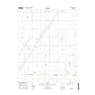 2015 Boekerton2015 Print · USGSCovers Hartzell, including Tallapoosa, New Garver, and other nearby areas
 - 2017 Map of Boekerton, 2017 Print
 2017 Boekerton2017 Print · USGSCovers Hartzell, including Tallapoosa, New Garver, and other nearby areas
 - 2021 Map of Boekerton, 2021 Print
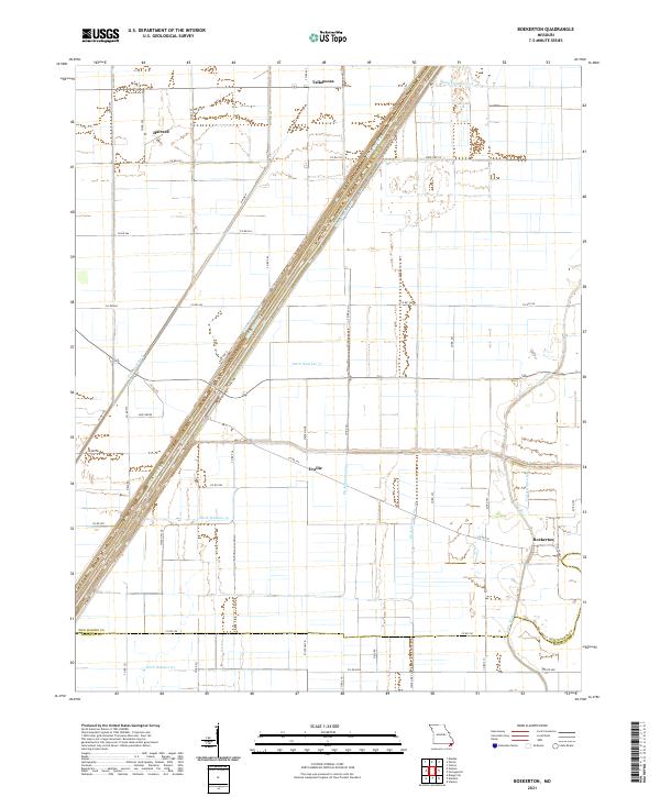 2021 Boekerton2021 Print · USGSThe Missouri Bootheel landscape appears here in its modern agricultural form, dominated by a vast network of drainage canals. Genealogists and local historians can trace the rural layout of Boekerton, Tallapoosa, and Hartzell, along with landmarks like Huie Grove.
End of results
Showing maps 1-9 of 9
Top cities near Hartzell
- Kennett historical maps
- Malden historical maps
- Campbell historical maps
- Bernie historical maps
- Clarkton historical maps
- Gideon historical maps
See more
Frequently asked questions
- What are the different types of historical maps available for Hartzell?
- What is the oldest map of Hartzell?
- Where can I purchase historical maps of Hartzell for my home or office?
- Where can I download high-res historical maps of Hartzell?
- Are there historical topographic maps available for Hartzell?
- Is there historical aerial imagery available for Hartzell?
- Where are historical maps of Hartzell sourced from?