Old Maps of New Garver, Missouri for Hiking & Exploration
Hike through history with 9 historic maps of New Garver. Explore old trails, ghost towns, and forgotten backroads — perfect for outdoor adventurers and local explorers.
- Rediscover forgotten places: Map out old mining camps, roads, and footpaths that no longer exist on modern maps.
- Layer with modern tools: Combine with LiDAR or satellite views to plan hikes through historical terrain.
- Made for exploration: Popular among hikers, overlanders, and local history lovers.
Use these maps to find adventure and explore the hidden past of New Garver.
New Garver, MO maps
(9)- 1940 Map of Pascola, 1942 Print
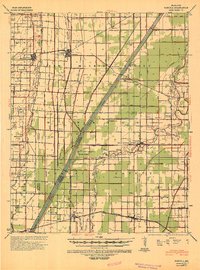 1940 Pascola1942 Print · USGSThe Missouri Bootheel is shown here during a period of massive land reclamation and rail-driven growth. Family historians can trace rural roots at Miller Sch, Mount Gilead Cem, and the timber-focused Lumber Yard in Gideon.
 - 1955 Map of Pascola
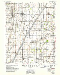 1955 Pascola1955 Print · USGSThe Missouri Bootheel in the mid-fifties reveals a landscape defined by an extensive drainage system and the St Louis San Francisco rail line. Researchers can trace rural life through sites like the Delmore Labor Home, Sumach Ch & Cem, and the Gideon Memorial Airport.
 - 1956 Map of Dyersburg, 1960 Print
 1956 Dyersburg1960 Print · USGSThe Four Rivers region comes alive in the mid-fifties, capturing the intricate borderlands of Tennessee, Kentucky, and Missouri. Genealogists and historians can trace the rail-and-river networks connecting Dyersburg, Caruthersville, and the shoreline of Reelfoot Lake.4 unique versions available
 - 1978 Map of Boekerton, 1979 Print
 1978 Boekerton1979 Print · USGSThe Missouri Bootheel at the end of the 1970s reveals a landscape of reclaimed wetlands and straight-line drainage engineering. Trace family roots and local history through small settlements like Boekerton, landmarks like Huie Ch, and the massive route of The Floodway.
 - 1983 Map of Dyersburg
 1983 Dyersburg1983 Print · USGSSpanning the Mississippi River at the start of the 1980s, this area shows the vital river-and-rail connections between Tennessee and Missouri. Researchers can trace family sites at Mount Pisgah Cemetery or study the evolving shoreline near Caruthersville and Reelfoot Lake.
 - 2012 Map of Boekerton, 2012 Print
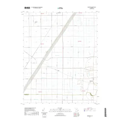
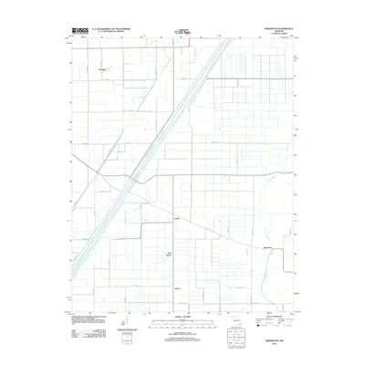 2012 Boekerton2012 Print · USGSCovers New Garver, including Tallapoosa, Garver, and other nearby areas
 - 2015 Map of Boekerton, 2015 Print
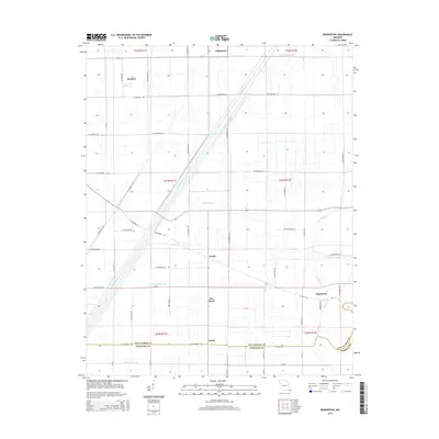 2015 Boekerton2015 Print · USGSCovers New Garver, including Tallapoosa, Garver, and other nearby areas
 - 2017 Map of Boekerton, 2017 Print
 2017 Boekerton2017 Print · USGSCovers New Garver, including Tallapoosa, Garver, and other nearby areas
 - 2021 Map of Boekerton, 2021 Print
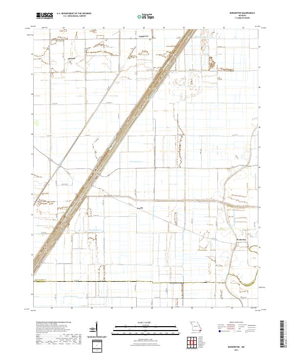 2021 Boekerton2021 Print · USGSThe Missouri Bootheel landscape appears here in its modern agricultural form, dominated by a vast network of drainage canals. Genealogists and local historians can trace the rural layout of Boekerton, Tallapoosa, and Hartzell, along with landmarks like Huie Grove.
End of results
Showing maps 1-9 of 9
Top cities near New Garver
- Kennett historical maps
- Caruthersville historical maps
- Malden historical maps
- Hayti historical maps
- Clarkton historical maps
- Lilbourn historical maps
See more
Frequently asked questions
- What are the different types of historical maps available for New Garver?
- What is the oldest map of New Garver?
- Where can I purchase historical maps of New Garver for my home or office?
- Where can I download high-res historical maps of New Garver?
- Are there historical topographic maps available for New Garver?
- Is there historical aerial imagery available for New Garver?
- Where are historical maps of New Garver sourced from?