Old Maps of Fredville, Missouri for Academic Research
Study the evolution of Fredville with 10 high-resolution historic maps. Whether you're teaching, researching, or modeling changes in land use, these maps provide essential visual documentation of urban, environmental, and geographic change.
- Analyze long-term change: Track patterns in development, transportation, and natural features.
- Ideal for environmental or urban studies: Support academic projects with primary historical map data.
- Use in the classroom or lab: Educators and researchers rely on these maps to bring historical context to life.
These maps are a powerful tool for teaching, research, and visualizing how Fredville has changed over the decades.
Fredville, MO maps
(10)- 1916 Map of Neosho
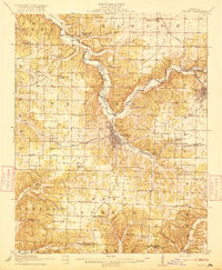 1916 Neosho1916 Print · USGSNewton County's rail and mining heart beat strong during the years before the Great War. Genealogists and local historians can trace forgotten rural schoolhouses like Possumtrot School and Jaybird School, or locate early lead workings such as the Tiger Mine near Granby.5 unique versions available
 - 1954 Map of Tulsa
 1954 Tulsa1954 Print · USGSNortheast Oklahoma and the Ozark border are shown here during a period of massive industrial and infrastructure growth. Researchers can trace the legacy of the Tri-State Mining District and the development of major reservoirs like Grand Lake O' The Cherokees.2 unique versions available
 - 1958 Map of Tulsa, 1968 Print
 1958 Tulsa1968 Print · USGSNortheast Oklahoma and the Ozark borderlands are captured here during a massive era of reservoir construction and highway expansion. Researchers can trace the mid-century footprints of Tulsa, the sprawling Lake O' the Cherokees, and historical sites like Pea Ridge National Military Park.3 unique versions available
 - 1963 Map of Tulsa
 1963 Tulsa1963 Print · USGSThe Oklahoma and Arkansas borderlands are shown here in the early sixties, a time of massive reservoir construction and heavy mining. Genealogists can trace family roots through settlements like Nowata, Pryor, and Jay, or locate historical zinc and lead mines and coal mines.
 - 1972 Map of Tipton Ford, 1973 Print
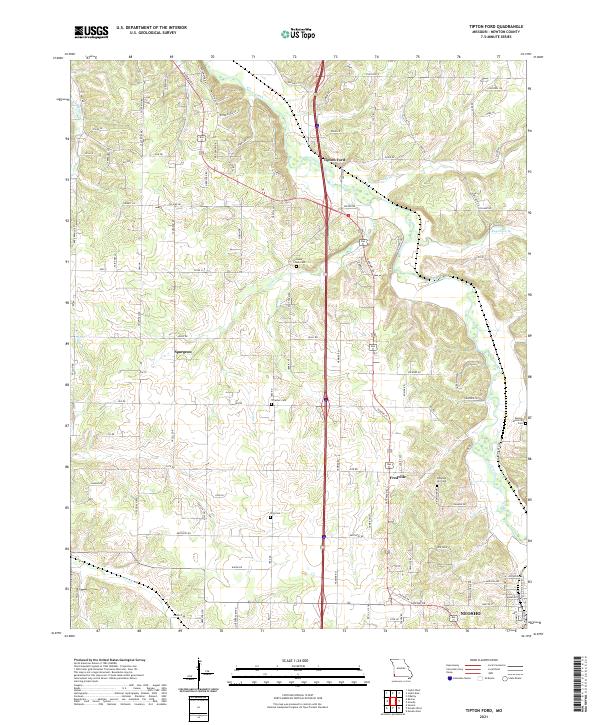
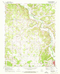 1972 Tipton Ford1973 Print · USGSNewton County in the early seventies shows a landscape defined by prairie farming and the legacies of lead and zinc mining. Genealogists and local historians can trace family roots through sites like Spurgeon, Thrasher Cem, and Oak Grove Chapel.
 - 1986 Map of Neosho
 1986 Neosho1986 Print · USGSThe tri-state border region comes alive in the mid-eighties as a landscape of mining heritage and river valleys. Researchers can trace the rail lines of the Kansas City Southern Ry and locate rural landmarks like Gibson Cem and Peoria.2 unique versions available
 - 2012 Map of Tipton Ford, 2012 Print
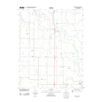 2012 Tipton Ford2012 Print · USGSCovers Fredville, including Neosho, Spurgeon, and other nearby areas
 - 2015 Map of Tipton Ford, 2015 Print
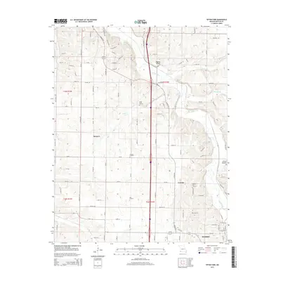 2015 Tipton Ford2015 Print · USGSCovers Fredville, including Neosho, Spurgeon, and other nearby areas
 - 2017 Map of Tipton Ford, 2017 Print
 2017 Tipton Ford2017 Print · USGSCovers Fredville, including Neosho, Spurgeon, and other nearby areas
 - 2021 Map of Tipton Ford, 2021 Print
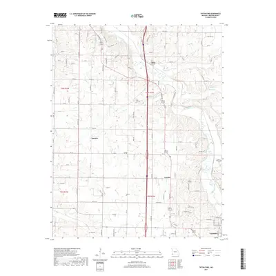
 2021 Tipton Ford2021 Print · USGSNewton County's rural corridors and creek valleys are documented here in the early 2020s as the area maintains its quiet, small-town character. Genealogists can locate several local burial sites including Pleasant Hill Cem and Thrasher Cem near Spurgeon.
End of results
Showing maps 1-10 of 10
Top cities near Fredville
- Joplin historical maps
- Carthage historical maps
- Neosho historical maps
- Webb City historical maps
- Galena historical maps
- Seneca historical maps
See more
Frequently asked questions
- What are the different types of historical maps available for Fredville?
- What is the oldest map of Fredville?
- Where can I purchase historical maps of Fredville for my home or office?
- Where can I download high-res historical maps of Fredville?
- Are there historical topographic maps available for Fredville?
- Is there historical aerial imagery available for Fredville?
- Where are historical maps of Fredville sourced from?