Old Maps of Hornet, Missouri
Explore 13 old maps of Hornet, spanning from 1907 to today. These high-resolution historic maps reveal how streets, neighborhoods, landmarks, and natural features evolved over time — perfect for genealogy, metal detecting, research, and local history exploration.
What you can do with these maps:
- See how Hornet changed over time: Compare historical maps to modern-day views to trace roads, homesites, rail lines & more.
- View detailed metadata: Each map includes creators, publishers, year, scale, and archive source.
- Overlay maps with satellite & LiDAR: Visualize the past alongside modern tools to explore terrain & human change.
- Trusted historical sources: Maps sourced from the USGS, Library of Congress, and other archives.
- Access maps your way: View online, download high-res files, or order prints for personal or research use.
Start exploring old maps of Hornet to uncover forgotten places, hidden landmarks, and the deep history beneath your feet.
Hornet, MO maps
(13)- 1907 Map of Wyandotte, 1954 Print
 1907 Wyandotte1954 Print · USGSThe Tri-State border region at the start of the twentieth century shows a landscape of river ferries and early rail towns. Trace the locations of family landmarks like Hickory Grove Church, Goad Eagle Ferry, and rural schools from Afton to Seneca.2 unique versions available
 - 1909 Map of Wyandotte
 1909 Wyandotte1909 Print · USGSNortheastern Oklahoma’s river valleys and prairies are captured here just after statehood, during a period of rapid rail expansion and tribal land transition. Researchers can trace early river crossings like Rodwhite Ferry and locate historic community centers such as Hickory Grove Church or the Bluejacket School.2 unique versions available
 - 1949 Map of Racine, 1973 Print
 1949 Racine1973 Print · USGSNewton County was a crossroad of mining and agriculture in the late 1940s, situated at the junction of three states. Researchers can trace family history through dozens of landmarks like Tripoli Mines, Burkhart Ch, and the Gibson Cem.2 unique versions available
 - 1950 Map of Racine
 1950 Racine1950 Print · USGSNewton County's tri-state border region is captured here in the mid-century, showing a landscape shaped by mining and rural schooling. Researchers can locate family landmarks like Gibson Cem or trace the old St Louis San Francisco rail line through Racine.2 unique versions available
 - 1954 Map of Tulsa
 1954 Tulsa1954 Print · USGSNortheast Oklahoma and the Ozark border are shown here during a period of massive industrial and infrastructure growth. Researchers can trace the legacy of the Tri-State Mining District and the development of major reservoirs like Grand Lake O' The Cherokees.2 unique versions available
 - 1958 Map of Tulsa, 1968 Print
 1958 Tulsa1968 Print · USGSNortheast Oklahoma and the Ozark borderlands are captured here during a massive era of reservoir construction and highway expansion. Researchers can trace the mid-century footprints of Tulsa, the sprawling Lake O' the Cherokees, and historical sites like Pea Ridge National Military Park.3 unique versions available
 - 1963 Map of Tulsa
 1963 Tulsa1963 Print · USGSThe Oklahoma and Arkansas borderlands are shown here in the early sixties, a time of massive reservoir construction and heavy mining. Genealogists can trace family roots through settlements like Nowata, Pryor, and Jay, or locate historical zinc and lead mines and coal mines.
 - 1986 Map of Neosho
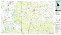 1986 Neosho1986 Print · USGSThe tri-state border region comes alive in the mid-eighties as a landscape of mining heritage and river valleys. Researchers can trace the rail lines of the Kansas City Southern Ry and locate rural landmarks like Gibson Cem and Peoria.2 unique versions available
 - 2010 Map of Racine, 2010 Print
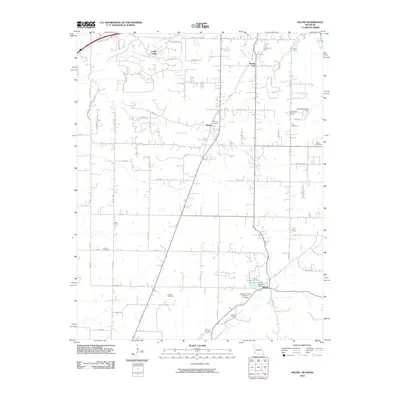 2010 Racine2010 Print · USGSNewton County, Missouri, at the turn of the decade reflects a landscape of quiet crossroads and historic family burial grounds. Genealogists and local historians can trace the rural communities of Hornet and Spring City or locate Moser Cemetery and Sparling Cemetery.
 - 2012 Map of Racine, 2012 Print
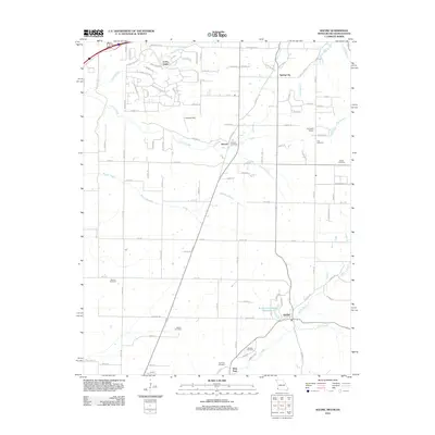 2012 Racine2012 Print · USGSThe Missouri-Oklahoma-Kansas borderlands come into focus in this early 21st-century survey of Newton County. Family historians can locate rural landmarks like Hornet Cemetery, Buzzard Cemetery, and the Austin Harrison Reservoir near Racine.
 - 2015 Map of Racine, 2015 Print
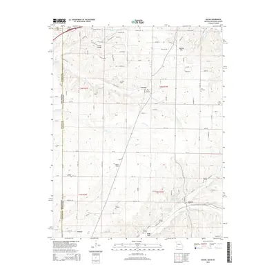 2015 Racine2015 Print · USGSThe Missouri-Oklahoma borderlands south of Joplin are captured here in the mid-2010s, showing the residential growth of Loma Linda and Racine. Local historians can trace dozens of family landmarks and cemeteries like Gibson Cemetery, Moser Cemetery, and the Five Mile Airport.
 - 2017 Map of Racine, 2017 Print
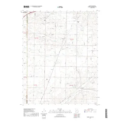 2017 Racine2017 Print · USGSNewton County, Missouri, at the meeting point of three states is documented here in the late twenty-tens. Genealogists and historians can trace legacy family burial sites like Sparling Cem and Cole Cem or the rural reaches of Modoc Valley and Racine.
 - 2021 Map of Racine, 2021 Print
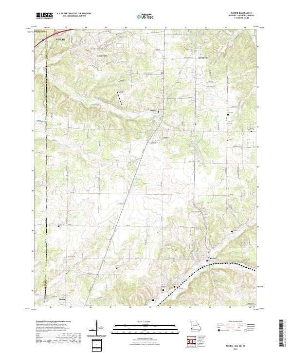 2021 Racine2021 Print · USGSNewton County, Missouri and Ottawa County, Oklahoma meet along this borderland as it appeared in the early 2020s. Genealogists and local historians can trace family roots through numerous sites like Moser Family Cemetery, Kirk Cemetery, and Burson Cemetery.
End of results
Showing maps 1-13 of 13
Top cities near Hornet
- Joplin historical maps
- Carthage historical maps
- Neosho historical maps
- Webb City historical maps
- Carl Junction historical maps
- Baxter Springs historical maps
See more
Frequently asked questions
- What are the different types of historical maps available for Hornet?
- What is the oldest map of Hornet?
- Where can I purchase historical maps of Hornet for my home or office?
- Where can I download high-res historical maps of Hornet?
- Are there historical topographic maps available for Hornet?
- Is there historical aerial imagery available for Hornet?
- Where are historical maps of Hornet sourced from?