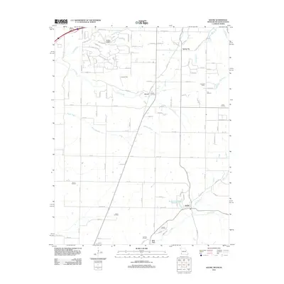
2012 Map of Racine
USGS Topo · Published 2012About this map
Loma Linda and Spring City anchor this 2012 survey of the tri-state border region where Missouri, Oklahoma, and Kansas meet. The landscape is defined by the headwaters of numerous creeks, including Rock Branch, Fivemile Creek, and Lost Creek, which drain the varied terrain. In the southern portion of the sheet, the Austin Harrison Reservoir sits near the community of Racine, while Wela Park and the Sparling Cemetery mark the area's edge.
Find a feature on this map
98 named features on this map. Tap any name to fly to it.
Don’t see what you’re looking for? This feature index may not catch every label — zoom into the map to look around manually.
Map Details
Editions of this 2012 Racine Map
This is the sole edition of this map. No revisions or reprints were ever made.
Other maps of this area

1886 · Joplin
USGS Topo · 1:125,000

1886 · Carthage
USGS Topo · 1:125,000

1894 · Joplin
USGS Topo · 1:125,000

1894 · Carthage
USGS Topo · 1:125,000

1907 · Wyandotte
USGS Topo · 1:125,000

1909 · Wyandotte
USGS Topo · 1:125,000

1916 · Neosho
USGS Topo · 1:62,500

1947 · Joplin
USGS Topo · 1:250,000

1949 · Joplin
USGS Topo · 1:250,000

1949 · Seneca
USGS Topo · 1:24,000